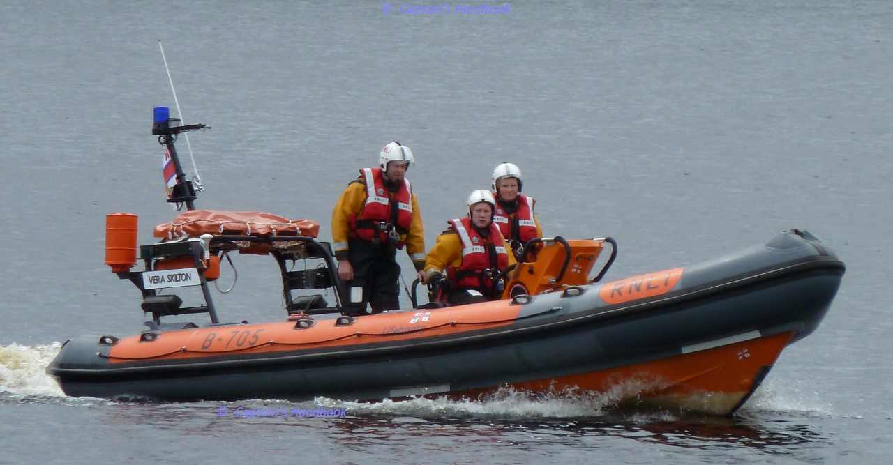
Lough Derg RNLI Lifeboat, Dromineer 4. Juni 2016

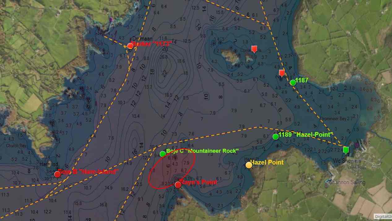
Lough Derg Rayn's Point © esri; click picture to esri-map "Lough Derg"
Lough Derg Rayn’s Point © esri

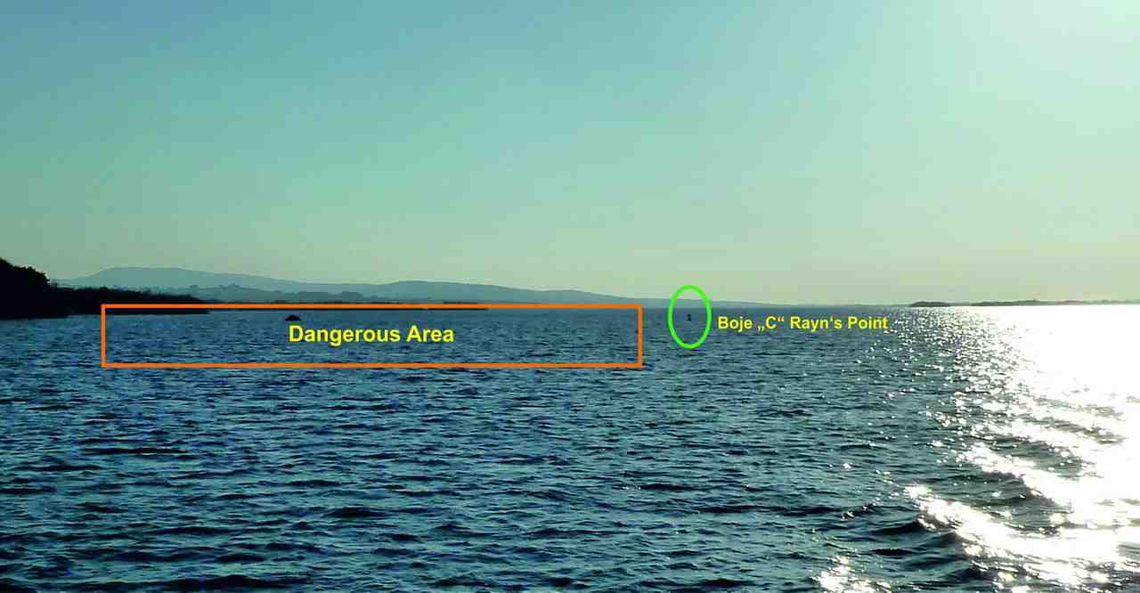
40 Fuß Boot, mit 9 Personen an Bord bei Rayn’s Point aufgelaufen

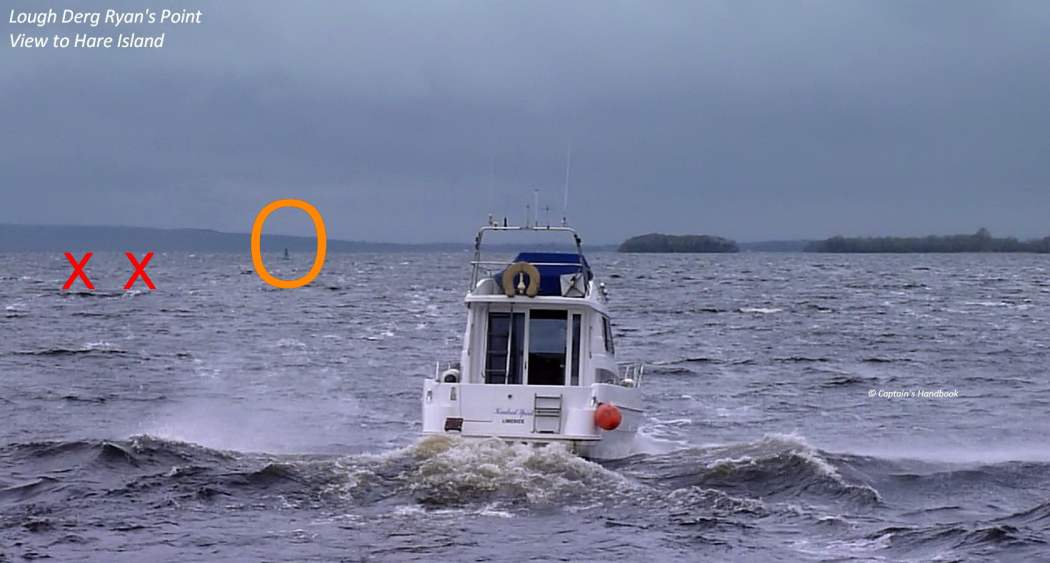
Am Samstag, den 4. Juni 2016 um 13:45 Uhr lief das Lough Derg RNLI Rettungsboot aus, angefragt von „Valentia Coast Guard“, um ein 40 Fuß Boot, mit 9 Personen an Bord das auf den Felsen bei „Ryan’s Point“ nahe bei der Mountaineer Boje aufgelaufen ist zu bergen.
Zur besagten Zeit kam der Wind aus westlicher Richtung mit Stärke 1 bis 2, und die Sicht war gut.
Ein Besatzungsmitglied vom RNLI Rettungsboot bat alle Personen ihre Schwimmwesten anzuziehen, das Boot wurde auf Schäden am Rumpf überprüft. Das Boot war noch intakt.
Das Rettungsboot hatte in der Zwischenzeit Tiefenmessungen in der Umgebung durchgeführt um eine geeignete Bergungsrichtung zu finden.
Nach dem das Rettungsboot versucht hatte, das Boot vom Grund zu lösen erkannte man, es saß aber zu fest.
Um 15:02 Uhr wurden alle 9 Personen auf das Rettungsboot übernommen und nach Dromineer-Harbour gebracht.
Bei ihrer Fahrt auf dem Rückweg nach Dromineer, musste das Rettungsboot ein anderes Boot stoppen und die Passagiere informieren, dass sie auf Grund laufen, wenn sie ihren Kurs beibehalten und nicht auf den korrekten Kurs abweichen, um die Mountaineer Boje zu umrunden. Das Schiff änderte den Kurs und begab sich zurück in das korrekte Fahrwasser.
Lifeboat Operations Manager, Liam Maloney vom RNLI rät allen Boots Fahrern die Navigationskarten zu studieren, bevor man aus den Häfen ausläuft und auf den Seen in den Fahrrinnen zu bleiben. Das schöne Wetter wird bei uns noch eine Weile bleiben fuhr er fort, und erinnerte daran, man soll das Wasser respektieren und zuerst an die Sicherheit denken, wenn man sich an oder auf das Wasser begibt.
Here is the original message from RNLI (click picture)
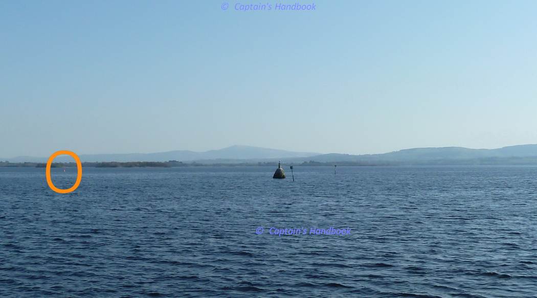
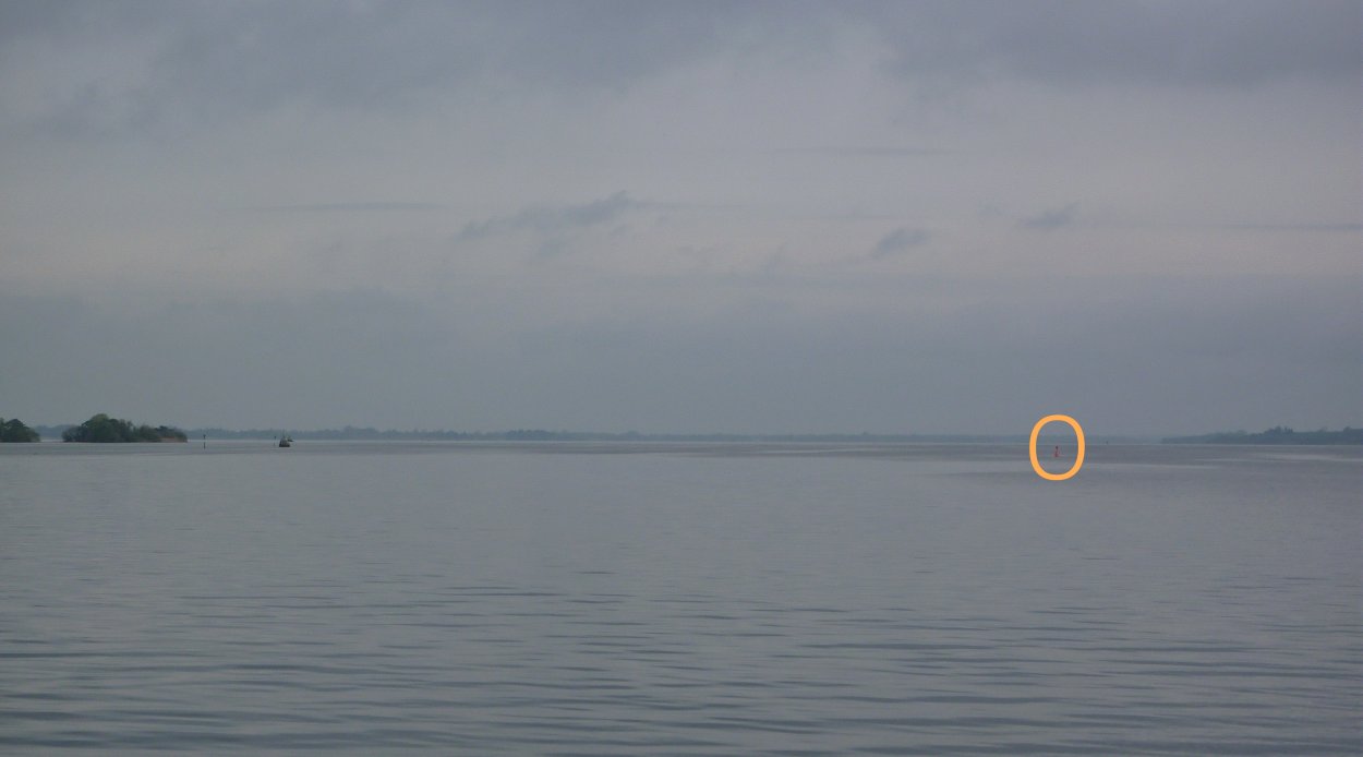
Markers at Ryans-Point; click picture to "enlarge"
Markers at Ryans-Point bei Sturmwetter
Markers at Ryans-Point; click picture to "enlarge"
Markers at Ryans-Point ruhigem Wetter

MARINE NOTICE, No 063 of 2016

Portumna Bridge © esri
Portumna Bridge and Harbour © esri

MARINE NOTICE, No 63 of 2016

SHANNON NAVIGATION

Lough Derg

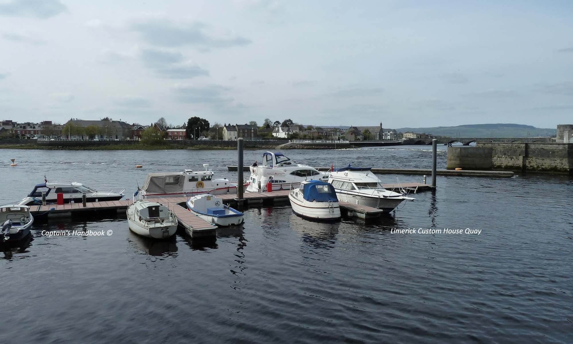
Waterways Ireland wishes to advise masters and owners of vessels that Portumna Castle harbour is open to vessels for berthing. However, the precincts of the harbour remain a construction site while enhancement works continue.

C.J.Lawn, Inspector of Navigation, 2 Jun 2016

Portumna Harbour
Portumna Harbour

MARINE NOTICE, No 062 of 2016

Marker Lough Derg Benjaminrock; © esri; click picture to esrimap "Markers near Benjaminrock"
Benjaminrock; © esri

MARINE NOTICE, No 62 of 2016

SHANNON NAVIGATION

Lough Derg

Benjamin Rocks

Red Navigation Mark Reported Missing

Waterways Ireland wishes to advise masters and owners of vessels that the RED buoy marking the eastern end of the Benjamin Rocks, North East of Williamstown Harbour, has been reported missing.

Masters should keep a sharp look-out and navigate with due caution in this area.

C.J.Lawn, Inspector of Navigation, 2 Jun 2016

Marker near Benjaminrock Lough Derg; click picture to "enlarge"
Marker near Benjaminrock Lough Derg
LD-Marker-Benjamin boat course north Lough Derg; click picture to "enlarge"
LD-Marker-Benjamin course north

MARINE NOTICE, No 61 of 2016

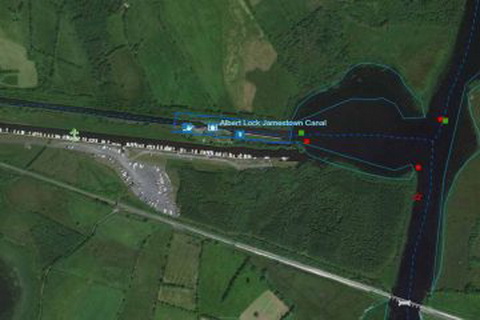
Jamestown Canal Albert_Lock © esri

MARINE NOTICE, No 61 of 2016

SHANNON NAVIGATION

Albert Lock

Essential Repairs

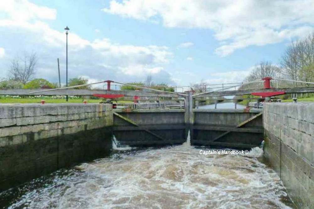
Waterways Ireland wishes to advise masters and users of the Shannon Navigation that essential repairs will be undertaken at Albert Lock tomorrow which will cause some minor delays.

Waterways Ireland thanks its customers for their co-operation in this matter.

C.J.Lawn, Inspector of Navigation, 2 Jun 2016

Jamestown Canal Albert_Lock © esri

MARINE NOTICE, No 060 of 2016

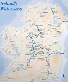
Map Inland Waterways Ireland;© Waterways Ireland
Inland Map Ireland;© WI

MARINE NOTICE, No. 60 of 2016

All Navigations

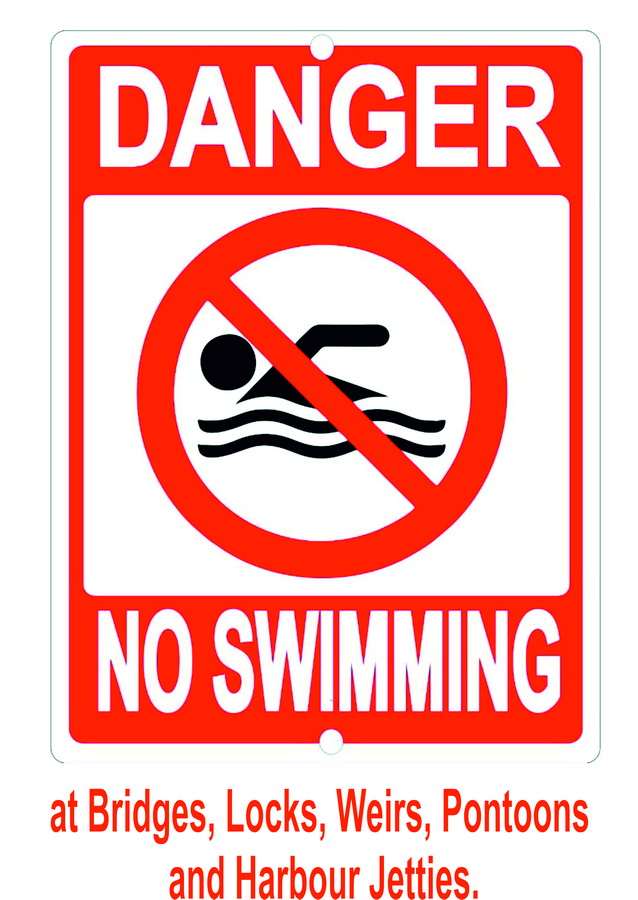
Dangers on Swimming in the Navigation

Waterways Ireland wishes to advise the public on the dangers of swimming and diving in and around navigation infrastructure such as bridges, locks, weirs, pontoons and harbour jetties.
The possibility of a swimmer being struck by a vessel, its propeller or being run over is ever present while powered craft are manoeuvring at such locations. Swimming is therefore prohibited at these locations.

C.J.Lawn, Inspector of Navigation, 31 May 2016

Danger-No-Swimming