MARINE NOTICE, No. 63 of 2023

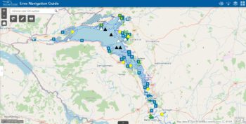
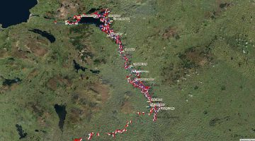
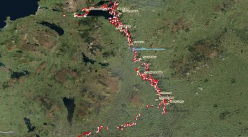
Lower Lough Erne; © esri; click to ArcGiMap Erne
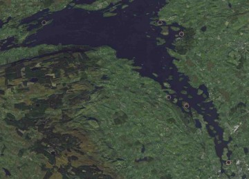
Kesh-River, Lower Lough Erne;© esri

MARINE NOTICE, No. 63 of 2023

Erne System

Lower Lough Erne, Kesh River

Dredging Operations

Waterways Ireland wishes to inform masters of vessels and waterway users on the Erne System that dredging operations will commence on the Kesh River on Tuesday 18th July 2023.
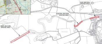
Dredging will occur at two locations along the Kesh River and at the mouth of the river.
Dredging on the two river sections (Central and East) will commence on 18th July and continue until 2nd August 2023. During this time the river will be closed to boating traffic from 0800hrs to 18:00hrs on Mondays to Fridays.
Dredging will commence at the mouth of the Kesh River (West Section) on 3rd August 2023 and will continue until 25th August 2023. The Kesh River navigation will be open during the dredging at the mouth of the river, however boaters should expect delays.
Waterways Ireland thanks its customers for their co-operation in relation to this matter.

P Harkin, Inspector of Navigation, Waterways Ireland, 11 July 2023

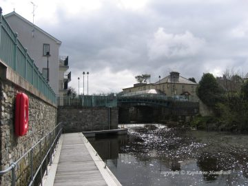
Moorings Kesh; © Captain’s Handbook; click to "enlarge"
Moorings Kesh; © CHB
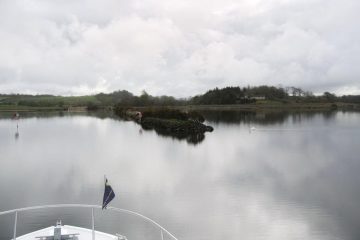
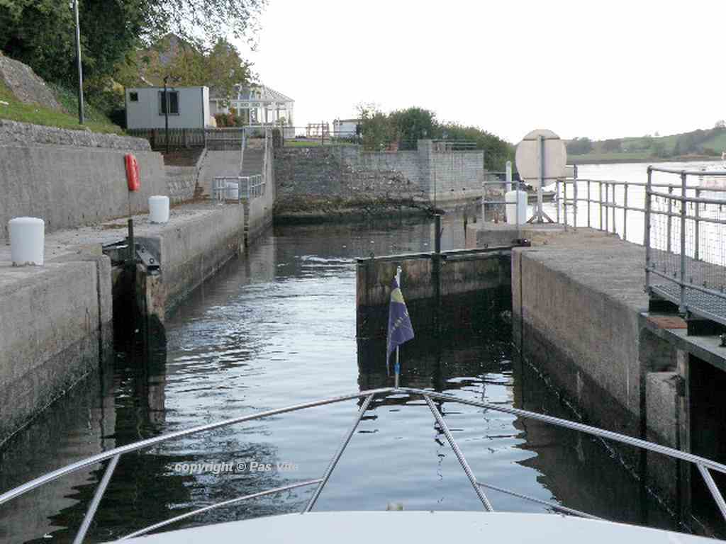
Einfahrt River Kesh;© Captain’s Handbook
Einfahrt River Kesh;© CHB

Erne-System, Lower Lough Erne, Kesh Fluss, Ausbaggerungsarbeiten
Waterways Ireland möchte die Kapitäne von Schiffen und die Nutzer von Wasserstraßen im Erne-System darüber informieren, dass am Dienstag, den 18. Juli 2023, Baggerarbeiten im Kesh River beginnen.
Die Baggerarbeiten werden an zwei Stellen entlang des Kesh River und an der Mündung des Flusses durchgeführt.
Die Baggerarbeiten an den beiden Flussabschnitten (Mitte und Osten) werden am 18. Juli beginnen und bis zum 2. August 2023 andauern. Während dieser Zeit wird der Fluss montags bis freitags von 08:00 bis 18:00 Uhr für den Bootsverkehr gesperrt sein.
Die Baggerarbeiten an der Mündung des Kesh (Westabschnitt) beginnen am 3. August 2023 und werden bis zum 25. August 2023 andauern. Die Schifffahrt auf dem Kesh River wird während der Ausbaggerung an der Mündung des Flusses möglich sein, allerdings müssen Bootsfahrer mit Verzögerungen rechnen.
Waterways Ireland dankt seinen Gästen für ihre Kooperation in dieser Angelegenheit.

MARINE NOTICE, No 097 of 2017

Erne-System; © esri; click to "to Belleek Map "
Erne-System; © esri

MARINE NOTICE, No 97 of 2017

Erne System

Reducing Water Levels

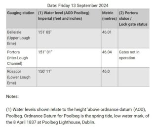
Waterways Ireland has been advised by Rivers Agency that from 1st October, in keeping with water level management protocols, users of the Erne System can expect reducing water levels throughout the navigation as water levels on Lower Lough Erne are lowered, weather permitting, to a minimum of 149 feet (Above Poolbeg Ordnance Datum), in anticipation of increased precipitation during Autumn & Winter.
If water levels do fall masters should be aware of:

    • Navigation
      To reduce the risk of grounding masters should navigate on or near the centreline of the channel, avoid short cutting in dog-legged channels and navigating too close to navigation markers.
    • Mooring of Vessels
      Masters should be aware that water levels may change rapidly and that mooring lines will require adjustment therefore these should be checked regularly.

Shane Anderson, Assistant Inspector of Navigation, 25 September 2017

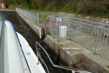
Portorra Lock, Lower Lough Erne

MARINE NOTICE 116 of 2013

Camagh Bay and Inish Davar © esri; click to Arcgis Map "Camagh Bay and Inish Davar"
Camagh Bay and Inish Davar © esri

MARINE NOTICE, No 116 of 2013 
ERNE NAVIGATION
Lower Lough

TEMPORARY CLOSURE
PUBLIC JETTIES AND SLIPWAY

The public mooring jetty and slipway at Camagh Bay and Inish Davar island jetty on Lower Lough Erne will be closed for improvement works until the end of November 2013.Waterways Ireland regrets any inconvenience to its customers.
For further details please contact the Lough Erne Warden on +44 (0)28 6632 2836

Charles Lawn, Lt Cdr (rtd), Inspector of Navigation, 26 Sep 2013

Lough Erne Golf Resort jetty – Location

Lough Erne Golf Resort jetty

Es wurde schon viel spekuliert, wo denn nun die neue Lough Erne Golf Resort jetty sei. Hier ist nun die Position des Anlegers aus den Koordinateneckpunkten der Jetty, die „Captain’s Handbook“ von offizieller Stelle übermittelt wurde.

Coordinates Lough Erne Golf Resort; © esri
Lough Erne Golf resort jetty; © Kona Ka
Lough Erne Golf resort jetty; © Kona Kai

Thanks to Austin, Alun and Waterways Ireland for the GPS coordinates of the four corner points the new Jetty on Lough Erne Golf Ressort.