
Marine Notice, No. 20 of 2025, Update 3
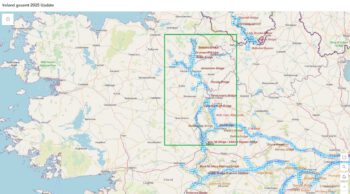
Shannon Navigation,
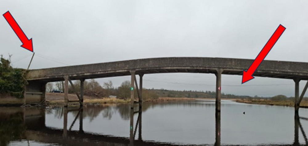
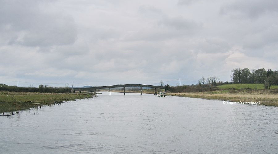
Navigation Hazard Corrected:Low-Hanging Wires at Hartley Bridge
Waterways Ireland advises masters of vessels that the previously reported overhead obstruction at Hartley Bridge (refer Marine Notice No. 20 of 2025) has now been corrected.
The air draft at Hartley Bridge has been fully restored, and the navigation hazard no longer exists. Masters of vessels may now navigate under Hartley Bridge as normal.
Waterways Ireland thanks all waterway users for their patience and cooperation during the period of restricted navigation.
Kind regards, Peter Harty, Inspector of Navigation, Waterways Ireland 09.04.2025
Inspectorate.Athlone@waterwaysireland.org
 |
Gefahr für die Navigation beseitigt: Niedrig hängende Drähte an der Hartley-Brücke
Waterways Ireland weist die Kapitäne von Schiffen darauf hin, dass das zuvor gemeldete Überkopf-Hindernis an der Hartley-Brücke (siehe Marine Notice No. 20 of 2025) nun behoben wurde.Der Freiraum an der Hartley-Brücke wurde vollständig wiederhergestellt, und die Gefahr für die Navigation besteht nicht mehr. Die Kapitäne von Schiffen können nun wie gewohnt unter der Hartley-Brücke durchfahren.Waterways Ireland dankt allen Wasserstraßennutzern für ihre Geduld und Kooperation während der Zeit der eingeschränkten Schifffahrt.