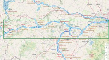
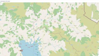
Attention !!! The maps shown on this website are for informational purposes only. They are not suitable for navigation. The map provided by the rental company must be strictly adhered to.
Reduction in Water Levels and Restriction to Navigation
Waterways Ireland wishes to advice all users of the Grand Canal – Tullamore – between Locks No. 25 and 27 that water levels will be lowered from 14th January to 17th March in order to facilitate deep gate replacement at Boland’s Lock – 26th Lock. Navigation will be severely restricted at this time.
Vessels moored on this level are advised to re-locate to the 23rd Level (between Locks 23 and 24) where soft bank moorings are available.
Waterways Ireland thanks it customers for their cooperation in this matter.
Patrick Harkin, Inspector of Navigation, 07 Jan 2019
Senkung des Wasserspiegels und Einschränkung der Schifffahrt
Waterways Ireland möchte allen Benutzern des Grand Canal – Tullamore – zwischen den Schleusen Nr. 25 und 27 mitteilen, dass der Wasserstand vom 14. Januar bis 17. März gesenkt wird, um den Austausch des tiefen Tores an der Boland-Schleuse-26 vollziehen. Die Navigation wird zu diesem Zeitpunkt stark eingeschränkt sein.
Schiffen, die auf dieser Ebene anlegen, wird empfohlen, sich in die 23. Ebene (zwischen den Schleusen 23 und 24) zu begeben, wo weiche Uferverankerungen zur Verfügung stehen.
Waterways Ireland dankt seinen Kunden für die Zusammenarbeit in dieser Angelegenheit.
Google hat in Zusammenarbeit mit Waterways Ireland den Sommer damit verbracht, den Shannon von Lough Allen bis Loop Head zu befahren, und ermöglicht nun einen Ausblick auf den längsten Fluss Irlands. Das Ganze ist über den Link (klick Foto oben) zu erreichen.
Die Meldung von Waterways Ireland kann man hier nachlesen: (klick Foto unten)
The Google Trekker Loan Programme, in conjunction with Waterways Ireland, has spent the summer touring the River Shannon from Lough Allen to Loop Head and is now ready to launch a Waterways View of Ireland’s longest river.
The data gathered represents the first such water-based collection of imagery on the Island of Ireland. It showcases the diverse landscape and heritage of this navigation as well as bringing attention to a myriad of different habitats, plants and animals that have been afforded protection ranging from National to European Wildlife designations. It will be an invaluable tool in terms of promoting the Shannon Navigation as a destination for recreation, tourism, mindfulness, education and heritage appreciation, encouraging visitors to the area. It can also be utilised by waterway communities to highlight this heritage asset and foster as sense of place.
The application to access the Google Trekker Loan Programme was made under the Waterways Ireland Heritage Plan 2016-2020 and the work was carried out by Waterways Ireland staff. A strategic partnership to capture the Shannon estuary was also forged with Clare County Council to extend the project beyond Waterways Ireland jurisdiction and ensure the full Shannon to Loop Head was captured.
The footage will be a significant asset to Irelands Hidden Heartlands, the new national destination brand for the Shannon Corridor being promoted by Fáilte Ireland in conjunction with Waterways Ireland and the 9 Local Authorities.
Waterways Ireland CE Dawn Livingstone , said “Waterways Ireland dedicated staff and resources to this innovative project in partnership with Google and are delighted that this unique perspective of the Shannon will be available to the public across the world through Google Trekker.”
The Google Trekker footage of the Shannon River is now live on Google Maps and can be viewed in satellite view and map view.
Das Google Trekker Loan Programm hat in Zusammenarbeit mit Waterways Ireland den Sommer damit verbracht, den Fluss Shannon von Lough Allen bis Loop Head zu bereisen und ist nun bereit, einen Waterways View auf den längsten Fluss Irlands zu starten.
Die gesammelten Daten stellen die erste derartige wasserbasierte Sammlung von Bildern auf der Insel Irland dar. Es zeigt die vielfältige Landschaft und das Erbe dieser Navigation und macht auf eine Vielzahl verschiedener Lebensräume, Pflanzen und Tiere aufmerksam, die geschützt wurden, von nationalen bis hin zu europäischen Wildtierbezeichnungen. Es wird ein unschätzbares Instrument sein, um die Shannon-Navigation als Ziel für Erholung, Tourismus, Achtsamkeit, Bildung und Wertschätzung des Erbes zu fördern und Besucher in der Region zu ermutigen. Es kann auch von den Binnenschifffahrtsgemeinden genutzt werden, um dieses Erbe hervorzuheben und das Ortsgefühl zu fördern.
Der Antrag auf Zugang zum Google Trekker Loan Programm wurde im Rahmen des Waterways Ireland Heritage Plan 2016-2020 gestellt und die Arbeiten wurden von Mitarbeitern von Waterways Ireland durchgeführt. Eine strategische Partnerschaft zur Erfassung der Shannon-Mündung wurde auch mit dem Clare County Council geschmiedet, um das Projekt über die Zuständigkeit von Waterways Ireland hinaus auszudehnen und sicherzustellen, dass der gesamte Shannon bis zum Loop Head erfasst wurde.
Das Filmmaterial wird ein bedeutender Gewinn für Irelands Hidden Heartlands sein, die neue nationale Destinationsmarke für den Shannon Corridor, die von Fáilte Ireland in Zusammenarbeit mit Waterways Ireland und den 9 lokalen Behörden gefördert wird.
Waterways Ireland CE Dawn Livingstone, sagte: „Waterways Ireland hat in Partnerschaft mit Google Personal und Ressourcen für dieses innovative Projekt bereitgestellt und freut sich, dass diese einzigartige Perspektive des Shannon der Öffentlichkeit auf der ganzen Welt über Google Trekker zugänglich sein wird.
Das Google Trekker-Material vom Shannon River ist nun auf Google Maps live und kann in der Satelliten- und Kartenansicht betrachtet werden.
und die Lough Allen Navigation
Der Shannon Pot ist die Quelle des majestätischen Flusses Shannon – des längsten Flusses Irlands, der sich über 280 km von seiner Quelle in Cavan bis zur Shannon-Mündung in Limerick erstreckt. Der Ursprung des Shannon Pot geht auf die frühen Zeiten des legendären Finn McCool und der Fianna, der großen Krieger der irischen Mythologie, zurück. Die Legende besagt, dass Síonnan, die Tochter von Lodan (einem Sohn des keltischen Meeresgottes Lír), auf der Suche nach dem großen Lachs der Weisheit zum Shannon Pot kam. Der Lachs wurde beim Anblick von Síonnan wütend und brachte den Teich zum Überlaufen, so dass die Jungfrau ertrank. So entstand der Shannon, der noch heute ihren Namen trägt. Die Bedeutung des Shannon Pot ist in dem alten irischen Namen Legnashinna oder Log na Sionna überliefert. Das Wort „Log“ (auch „Lug“ oder „Leg“) bedeutet in der altirischen Sprache eine Mulde oder eine Grube, kann aber auch die Bedeutung „der Ort“ haben, was auf einen Ort von großer Bedeutung hinweist. Die Assoziation dieses Namens mit dem längsten Fluss Irlands und die kreisförmige Form des Shannon Pot deuten darauf hin, dass dieser Ort in keltischer Zeit von großer kultureller und möglicherweise religiöser Bedeutung war. Der Shannon Pot liegt an der Straße von Blacklion nach Glangevlin (R206) im Westen der Grafschaft Cavan und ist durch braune touristische Schilder gekennzeichnet. Auf dem Gelände gibt es ausreichend Parkplätze und einen Picknickplatz. Sowohl auf dem Parkplatz als auch am Shannon Pot selbst gibt es Informationsmaterial. Der Shannon Pot liegt am Cavan Way, einem Langstreckenwanderweg, der in Blacklion beginnt und in Dowra endet. Der Shannon Pot ist ein wichtiger Ort im Marble Arch Caves Global Geopark, einem Gebiet von einzigartiger geologischer Bedeutung in Cavan und Fermanagh. Das strohgedeckte Haus des Anführers vom Aufstand von 1916, Sean MacDiarmada, in Kiltyclogher, nur zwanzig Minuten entfernt.
The Shannon Pot is the source of the majestic River Shannon – the longest river in Ireland, stretching over 280 km from its source in Cavan to the Shannon Estuary in Limerick. The origin of the Shannon Pot dates back to the early days of the legendary Finn McCool and the Fianna, the great warriors of Irish mythology. Legend has it that Síonnan, the daughter of Lodan (a son of the Celtic sea god Lír), came to the Shannon Pot in search of the great Salmon of Wisdom. The salmon became enraged at the sight of Síonnan and caused the pond to overflow, drowning the maiden. Thus was born the Shannon, which still bears her name today. The meaning of the Shannon Pot has been passed down in the old Irish name Legnashinna or Log na Sionna. The word „Log“ (also „Lug“ or „Leg“) means a hollow or a pit in the Old Irish language, but can also have the meaning „the place“, indicating a place of great importance. The association of this name with the longest river in Ireland and the circular shape of the Shannon Pot indicate that this place was of great cultural and possibly religious importance in Celtic times. The Shannon Pot is located on the Blacklion to Glangevlin road (R206) in west County Cavan and is marked by brown tourist signs. There is ample parking on site and a picnic area. Information material is available both in the car park and at the Shannon Pot itself. The Shannon Pot is on the Cavan Way, a long distance walking trail that starts in Blacklion and ends in Dowra. The Shannon Pot is an important site in the Marble Arch Caves Global Geopark, an area of unique geological significance in Cavan and Fermanagh. The thatched house of 1916 Rising leader Sean MacDiarmada in Kiltyclogher, just twenty minutes away.
Cottage Sean Mac Diarmada in Kiltyclogher
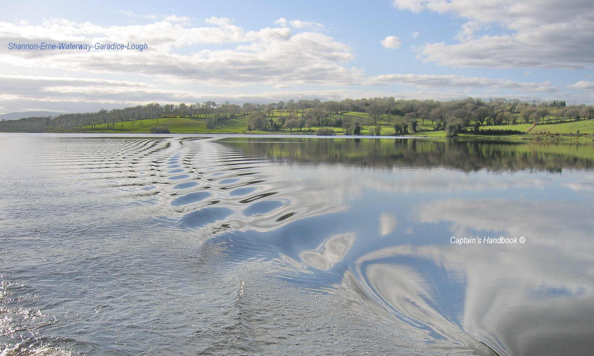
Lough Allen ist der oberste der drei großen Seen am Shannon, Lough Ree und Lough Derg liegen viel weiter südlich, und liegt zwischen Sliabh an Iarainn und den Arigna Mountains. Der größte Teil des Sees liegt in Co. Leitrim und ein kleinerer Teil in der Co. Roscommon. Lough Allen is the uppermost of the three great lakes on the Shannon, Lough Ree and Lough Derg are much further south, and lies between Sliabh an Iarainn and the Arigna Mountains. Most of the lake lies in Co. Leitrim and a smaller part in Co. Roscommon
Lough Allen ist 11,2 km lang und an seiner breitesten Stelle 8 km breit. Er dient als Stausee für das ESB-Kraftwerk Ardnacrusha. Einer lokalen Legende zufolge verdankt er seinen Namen der Göttin Aillion, die noch immer in den Gewässern des Loughs wohnt. Lough Allen zieht Angler aus der ganzen Welt an, denn er ist berühmt für Forellen und Hechte, aber auch für Wassersportarten und seine wunderschöne natürliche Umgebung. Der Irische Frauenschuh ist eine seltene Orchidee, die für die einzigartige Tierwelt von Lough Allen charakteristisch ist. Von besonderem Interesse ist auch eine Süßwasserart aus der Familie der Lachse, der Pollan, der ein Relikt aus der letzten Eiszeit ist. Irland ist das einzige europäische Land mit einer ansässigen Pollan-Population. Außer im Lough Allen kommt er auch im Lough Neagh, Lough Ree, Lough Derg, Lower Lough Erne und in den Loughs von Killarney vor. Da die Pollan-Populationen niedrig sind, wurde ein Aktionsplan zur Wiederherstellung der Bestände aufgestellt. Teil dieses Plans ist die Wiederansiedlung der Süßwasserarten an Orten, an denen sie ausgestorben sind, wie dem Upper Lough Erne, bis 2015. Lough Allen und die umliegenden Nadelwälder sind ebenfalls ein wichtiger Lebensraum für Vögel, da sie geschützte Nistplätze im Unterholz und zahlreiche Futterplätze bieten. Mittelsäger, Flussuferläufer, Eichelhäher, Reiher, Birkenzeisig, Fichtenkreuzschnabel und Großer Brachvogel sind nur einige Beispiele für die reiche Vogelwelt von Lough Allen.
Lough Allen is 11.2 km long and 8 km wide at its widest point. It serves as a reservoir for the Ardnacrusha ESB power station. According to local legend, it owes its name to the goddess Aillion, who still lives in the waters of the lough. Lough Allen attracts anglers from all over the world, as it is famous for trout and pike, but also for water sports and its beautiful natural surroundings. The Irish Lady’s Slipper is a rare orchid that is characteristic of Lough Allen’s unique wildlife. Also of particular interest is a freshwater species from the salmon family, the pollan, which is a relic from the last ice age. Ireland is the only European country with a resident pollan population. In addition to Lough Allen, it is also found in Lough Neagh, Lough Ree, Lough Derg, Lower Lough Erne and the loughs of Killarney. As the pollan populations are low, an action plan has been drawn up to restore the populations. Part of this plan is to reintroduce the freshwater species to places where they have become extinct, such as Upper Lough Erne, by 2015. Lough Allen and the surrounding coniferous forests are also an important habitat for birds as they provide sheltered nesting sites in the undergrowth and numerous feeding areas. Red-breasted mergansers, sandpipers, jays, herons, redpolls, crossbills and curlews are just a few examples of Lough Allen’s rich birdlife.
The report is is still in production Der Bericht ist noch in Bearbeitung