
Die Bootssaison 2019 hat ein neues Highlight
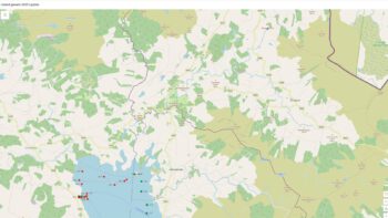
Google hat in Zusammenarbeit mit Waterways Ireland den Sommer damit verbracht, den Shannon von Lough Allen bis Loop Head zu befahren, und ermöglicht nun einen Ausblick auf den längsten Fluss Irlands. Das Ganze ist über den Link (klick Foto oben) zu erreichen.
Die Meldung von Waterways Ireland kann man hier nachlesen: (klick Foto unten)

Viel Spass beim Ausprobieren!
Beitrag im Original von Waterways Ireland:
The Google Trekker Loan Programme, in conjunction with Waterways Ireland, has spent the summer touring the River Shannon from Lough Allen to Loop Head and is now ready to launch a Waterways View of Ireland’s longest river.
The data gathered represents the first such water-based collection of imagery on the Island of Ireland. It showcases the diverse landscape and heritage of this navigation as well as bringing attention to a myriad of different habitats, plants and animals that have been afforded protection ranging from National to European Wildlife designations. It will be an invaluable tool in terms of promoting the Shannon Navigation as a destination for recreation, tourism, mindfulness, education and heritage appreciation, encouraging visitors to the area. It can also be utilised by waterway communities to highlight this heritage asset and foster as sense of place.
The application to access the Google Trekker Loan Programme was made under the Waterways Ireland Heritage Plan 2016-2020 and the work was carried out by Waterways Ireland staff. A strategic partnership to capture the Shannon estuary was also forged with Clare County Council to extend the project beyond Waterways Ireland jurisdiction and ensure the full Shannon to Loop Head was captured.
The footage will be a significant asset to Irelands Hidden Heartlands, the new national destination brand for the Shannon Corridor being promoted by Fáilte Ireland in conjunction with Waterways Ireland and the 9 Local Authorities.
Waterways Ireland CE Dawn Livingstone , said “Waterways Ireland dedicated staff and resources to this innovative project in partnership with Google and are delighted that this unique perspective of the Shannon will be available to the public across the world through Google Trekker.”
The Google Trekker footage of the Shannon River is now live on Google Maps and can be viewed in satellite view and map view.
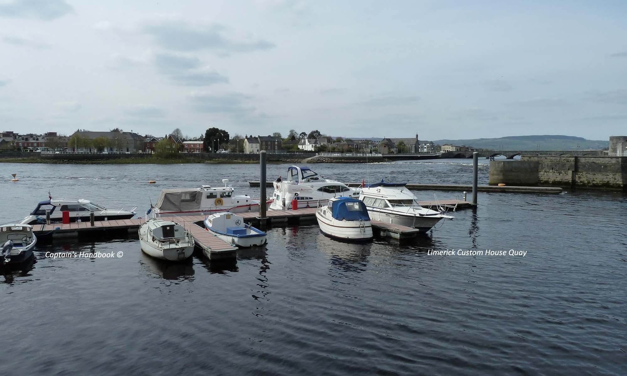
Der Beitrag wurde von Captain’s Handbook © übersetzt
Das Google Trekker Loan Programm hat in Zusammenarbeit mit Waterways Ireland den Sommer damit verbracht, den Fluss Shannon von Lough Allen bis Loop Head zu bereisen und ist nun bereit, einen Waterways View auf den längsten Fluss Irlands zu starten.
Die gesammelten Daten stellen die erste derartige wasserbasierte Sammlung von Bildern auf der Insel Irland dar. Es zeigt die vielfältige Landschaft und das Erbe dieser Navigation und macht auf eine Vielzahl verschiedener Lebensräume, Pflanzen und Tiere aufmerksam, die geschützt wurden, von nationalen bis hin zu europäischen Wildtierbezeichnungen. Es wird ein unschätzbares Instrument sein, um die Shannon-Navigation als Ziel für Erholung, Tourismus, Achtsamkeit, Bildung und Wertschätzung des Erbes zu fördern und Besucher in der Region zu ermutigen. Es kann auch von den Binnenschifffahrtsgemeinden genutzt werden, um dieses Erbe hervorzuheben und das Ortsgefühl zu fördern.
Der Antrag auf Zugang zum Google Trekker Loan Programm wurde im Rahmen des Waterways Ireland Heritage Plan 2016-2020 gestellt und die Arbeiten wurden von Mitarbeitern von Waterways Ireland durchgeführt. Eine strategische Partnerschaft zur Erfassung der Shannon-Mündung wurde auch mit dem Clare County Council geschmiedet, um das Projekt über die Zuständigkeit von Waterways Ireland hinaus auszudehnen und sicherzustellen, dass der gesamte Shannon bis zum Loop Head erfasst wurde.
Das Filmmaterial wird ein bedeutender Gewinn für Irelands Hidden Heartlands sein, die neue nationale Destinationsmarke für den Shannon Corridor, die von Fáilte Ireland in Zusammenarbeit mit Waterways Ireland und den 9 lokalen Behörden gefördert wird.
Waterways Ireland CE Dawn Livingstone, sagte: „Waterways Ireland hat in Partnerschaft mit Google Personal und Ressourcen für dieses innovative Projekt bereitgestellt und freut sich, dass diese einzigartige Perspektive des Shannon der Öffentlichkeit auf der ganzen Welt über Google Trekker zugänglich sein wird.
Das Google Trekker-Material vom Shannon River ist nun auf Google Maps live und kann in der Satelliten- und Kartenansicht betrachtet werden.