MARINE NOTICE, No. 67 of 2019

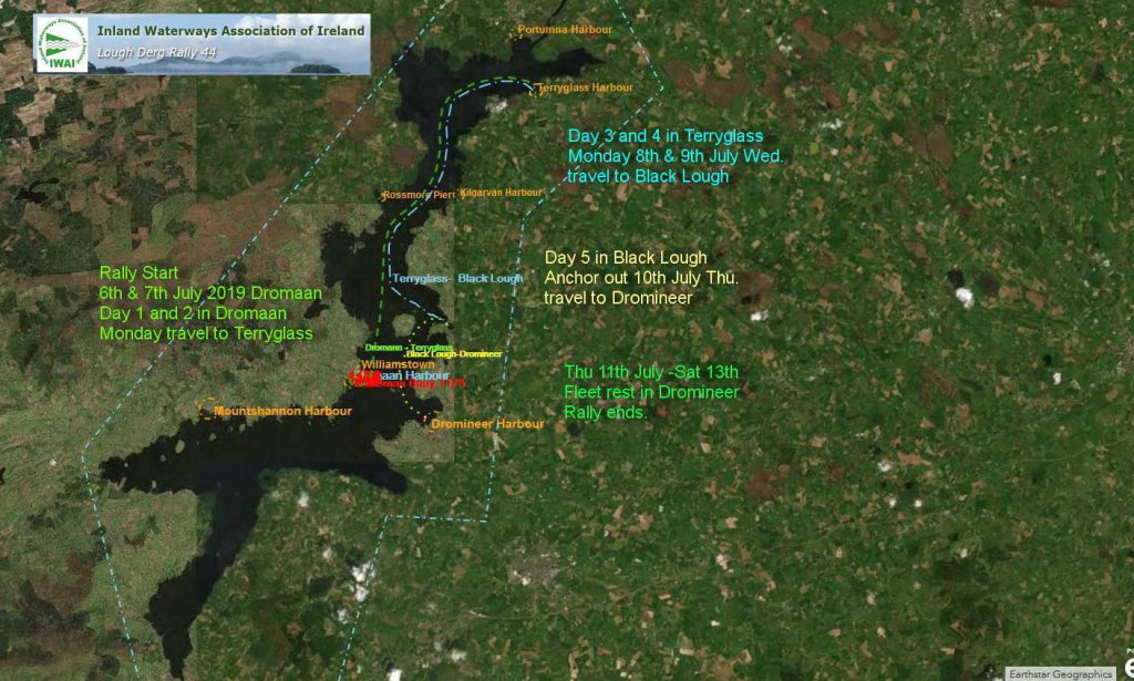
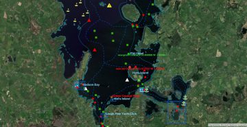
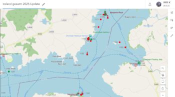
Lough Derg  IWAI Rally; © esri

Shannon Navigation

Lough Derg  IWAI Rally

Waterways Ireland wishes to advise masters and owners that the IWAI Lough Derg Rally will take place from Sat 6th to Sun 13th Jul 2019 and will visit the following locations:

6th & 7th Dromaan
8th & 9th Terryglass
10th Black Lough
11th, 12th 13th Dromineer
Lough Derg  IWAI Rally; © esri
Lough Derg IWAI Rally; © esri

Waterways Ireland thanks its customers for their cooperation in this matter.

P Harkin, Inspector of Navigation, 28 June 2019

Lough Derg IWAI-Rallye
Waterways Ireland möchte die Kapitäne und Schiffseigentümer darauf hinweisen, dass die IWAI Lough Derg Rallye vom 6. bis 13. Juli 2019 stattfinden wird und die folgenden Orte besuchen wird:
6. und 7. Dromaan
8. und 9. Terryglass
10. Black Lough
11., 12., 13. Dromineer
MARINE NOTICE, No. 66 of 2019

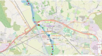
Athlone Lock © esri; click picture to esri maps "Athlone Lock © esri"
Athlone © esri

Shannon Navigation

Athlone

Sat 07 July 2019 triAthlone

Waterways Ireland wishes to advise masters and owners of vessels that the swim element of the above event will take place at Athlone on Sat 07 July 2019 between 1400 hrs and 1700hrs.
The navigation at Athlone will be closed between 1400 and 1700hrs.
Masters are requested to proceed at slow speed and with minimum wash when approaching this section of the navigation and heed any instructions issued by the event marshals.
Waterways Ireland thanks its customers for their cooperation in this matter.

P Harkin, Inspector of Navigation, 28 June 2019

TriAthlone TriAthlone © WI
TriAthlone © WI

Athlon,  Sa 07. Juli 2019 triAthlon

Waterways Ireland möchte die Kapitäne und Schiffseigner darauf hinweisen, dass das Schwimmelement der oben genannten Veranstaltung am 07. Juli 2019 in Athlone zwischen 14.00 Uhr und 17.00 Uhr stattfinden wird.
Die Navigation in Athlone wird zwischen 1400 und 1700 Uhr geschlossen sein.
Die Kapitäne werden gebeten, bei der Annäherung an diesen Abschnitt der Navigation mit langsamer Geschwindigkeit und minimalem Waschgang vorzugehen und alle Anweisungen der Streckenposten zu befolgen.

MARINE NOTICE, No. 65 of 2019

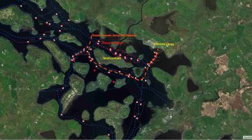
Dredging Operations at Kilmore Quay; © esri; click picture to esri map
Dredging at Kilmore Quay; © esri

Erne System

Upper Lough Erne

Inishcorkish Island area

Temporary Removal of navigation markers

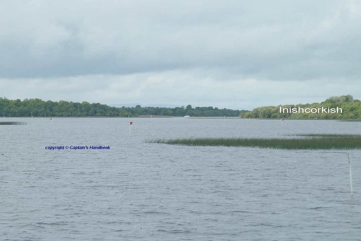
Waterways Ireland wishes to advise Masters and owners of vessels that the Navigation Markers in the Inishcorkish Island area will be temporarily removed and this section of the navigation will only be suitable for small vessels.
The duration of the works is approx 4 days.
The map below shows the location of the Navigation Markers which are to be temporarily removed.
Waterways Ireland thanks its customers for their cooperation in this matter.

P Harkin, Inspector of Navigation, 25 June 2019

Dredging Operations at Kilmore Quay; © WI

Inishcorkish Island Shoal Area; click to Inishcorkish Island Shoal Area
Inishcorkish Island Shoal Area

Inishcorkish Island Shoal Area; click to Inishcorkish Island Shoal Area
Inishcorkish Island Shoal Area

Upper Lough Erne Inishcorkish Inselbereich Temporäres Entfernen von Navigationsmarkierungen
Waterways Ireland möchte die Kapitäne und Eigner von Schiffen darauf hinweisen, dass die Navigationsmarkierungen im Gebiet der Inishcorkish Island vorübergehend entfernt werden und dieser Abschnitt der Navigation nur für kleine Schiffe geeignet ist.
Die Dauer der Arbeiten beträgt ca. 4 Tage.
Die folgende Karte zeigt die Position der Navigationsmarker, die vorübergehend entfernt werden sollen.
Waterways Ireland dankt seinen Kunden für die Zusammenarbeit in dieser Angelegenheit.

MARINE NOTICE, No. 64 of 2019

Dredging Operations at Kilmore Quay; © esri; click picture to esri map
Dredging at Kilmore Quay; © esri

Erne System

Upper Lough Erne – Kilmore Quay

Dredging Operations at Kilmore Quay

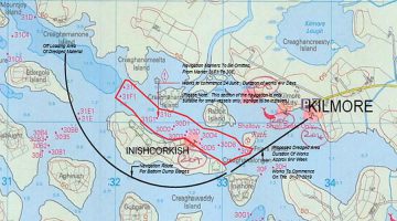
Waterways Ireland wishes to advise Masters and owners of vessels that dredging works at Kilmore Quay are due to commence on the 01st July 2019. The duration of the works is approx 9 Weeks.
The map below shows the area to be dredged and the route the vessels will be taking in order to bottom dump the material.
Masters of vessel are requested to proceed with additional caution in the vicinity of the dredging operations and dredging vessels.
Waterways Ireland thanks its customers for their cooperation in this matter.

P Harkin, Inspector of Navigation, 21 June 2019

Dredging Operations at Kilmore Quay; © WI

Upper Lough Erne – Kilmore Kai, Baggerarbeiten am Kilmore Quay
Waterways Ireland möchte die Kapitäne und Eigner von Schiffen darüber informieren, dass die Baggerarbeiten am Kilmore Quay am 01. Juli 2019 beginnen sollen. Die Dauer der Arbeiten beträgt ca. 9 Wochen.
Die untenstehende Karte zeigt die auszuhebende Fläche und die Route, die die Schiffe nehmen werden, um das Material zu entsorgen.
Die Schiffsführer werden gebeten, in der Nähe der Baggerarbeiten und Baggerschiffe mit zusätzlicher Vorsicht vorzugehen.


MARINE NOTICE, No 63 of 2019

Coosan Point; © esri; click to Esri Map "Killinure- Lough "
Coosan Point; © esri;

SHANNON NAVIGATION

Lough Ree Coosan Point

5KMPH Speed Limit Area

Installation of special Markers

Special Markers display “5 kmph; © WI
Special Markers “5 kmph; © WI
Special Markers display “5 kmph; © WI
Special Markers “5 kmph; © WI

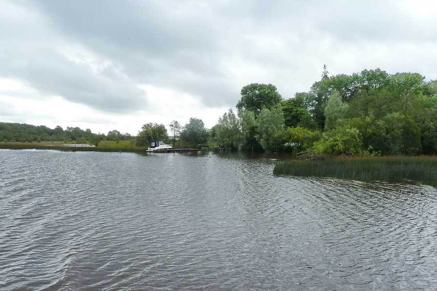
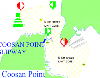
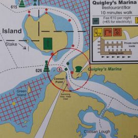
Waterways Ireland wishes to advise masters and owners of vessels that three yellow Special markers have been installed at Coosan Point on Lough Ree.
These Special Markers display “5 kmph” signs and mark a restricted speed area at Coosan Point slipway and Waterways Ireland jetty. All water users are requested to proceed at 5kmph in the area between these three markers.

P Harkin, Inspector of Navigation, 21 June 2019

Lough Ree Coosan Punkt, 5KMPH Speed Limit Area

Installation von speziellen Markern

Waterways Ireland möchte die Kapitäne und Eigner von Schiffen darauf hinweisen, dass am Coosan Point am Lough Ree drei gelbe Spezialmarker angebracht wurden.
Diese speziellen Markierungen zeigen „5 km/h“-Schilder an und markieren ein begrenztes Geschwindigkeitsgebiet an der Coosan Point Slipanlage und Waterways Ireland Steg. Alle Wassernutzer werden gebeten, bei 5 km/h im Bereich zwischen diesen drei Markierungen vorzugehen.