
MARINE NOTICE, Re-issued No. 53 of 2019
SHANNON NAVIGATION
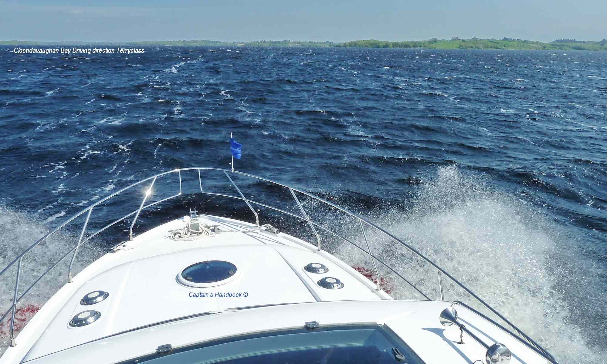
Meelick Weir Works – Reduced Speed Limit
Waterways Ireland wishes to advise masters of all craft that construction works have commenced on Meelick Weir and will continue until early 2020.
A reduced speed limit of 5kmph has been introduced from Meelick Weir upstream for 2000 metres for the duration of the works.
Masters of vessels are requested to proceed with caution during these works.
Waterways Ireland thanks it customers for their cooperation in this matter.
P Harkin, Inspector of Navigation, 10 July 2019
 |
 |
 |
 |
Meelick Wehranlage – Reduzierte Geschwindigkeitsbegrenzung
Waterways Ireland möchte die Meister aller Gewerke darüber informieren, dass mit den Bauarbeiten am Meelick Weir begonnen wurde und bis Anfang 2020 dauern wird.
Vom Meelick Weir flussaufwärts wurde für die Dauer der Arbeiten eine reduzierte Höchstgeschwindigkeit von 5 km/h für 2000 Meter eingeführt.
Die Kapitäne der Schiffe werden gebeten, bei diesen Arbeiten mit Vorsicht vorzugehen.
Waterways Ireland dankt seinen Kunden für die Zusammenarbeit in dieser Angelegenheit.