Marine Notice No. 106 of 2025; Update
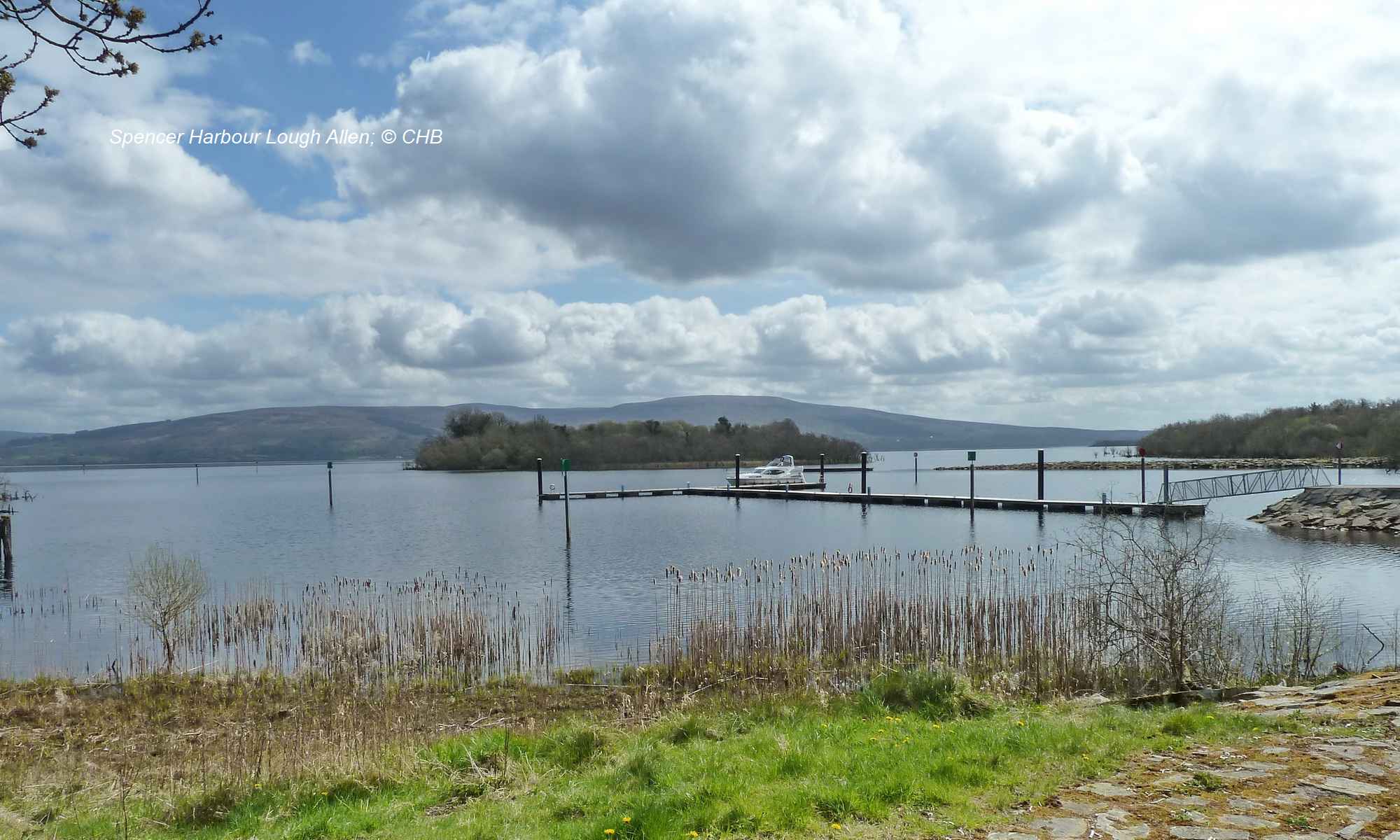
Shannon Navigation
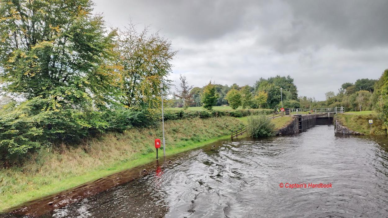
Ardnacrusha Locks
Issued: 09 October 2025
Ardnacrusha Navigation Locks-update on Maintenance and Planned Opening
|
Waterways Ireland wishes to advise masters of vessels that the ESB’s essential repairs to the middle gate of Ardnacrusha Navigation Lock are now anticipated for completion in November 2025, rather than October. Peter Harty, Inspector of Navigation |
 |
Shannon Navigation – Ardnacrusha – Locks, herausgegeben am: 09. Oktober 2025
Ardnacrusha- Locks – Aktuelles zu Wartungsarbeiten und geplanter Öffnung
Waterways Ireland möchte die Kapitäne von Schiffen darüber informieren, dass die notwendigen Reparaturen der ESB am mittleren Tor der Ardnacrusha-Locks nun voraussichtlich im November 2025 statt im Oktober abgeschlossen sein werden.
Die ESB arbeitet daran, das Programm zu beschleunigen, um eine kurze Wiedereröffnung der Locks für die Navigation zu ermöglichen. Basierend auf aktuellen technischen Bewertungen wird erwartet, dass die Ardnacrusha-Locks von Montag, 17. November, bis Montag, 24. November 2025, wieder geöffnet sind.
Nach dieser begrenzten Wiedereröffnung wird die Schleuse erneut geschlossen, um weitere geplante Wartungsarbeiten durchzuführen. Die genauen Termine unterliegen weiterhin unvorhergesehenen technischen Erwägungen.
Waterways Ireland ist sich bewusst, dass diese Verzögerung Auswirkungen auf mehrere Bootsfahrer hat. Um Abhilfe zu schaffen, werden denjenigen, die sich bei den Einrichtungen von Waterways Ireland oberhalb der Ardnacrusha-Schleuse gemeldet haben, weiterhin Verlängerungen bis zum 24. November 2025 gewährt.
Schiffe, die über dieses Datum hinaus in den Einrichtungen von Waterways Ireland bleiben möchten, müssen dies gemäß den Winterliegeplatzregelungen tun, die in der Marine Notice No. 114 von 2025 Shannon Navigation & Shannon-Erne Waterway dargelegt sind.
Waterways Ireland und ESB bedauern die entstandenen Unannehmlichkeiten und danken den Nutzern der Wasserstraßen für ihre Zusammenarbeit und ihr Verständnis. Weitere Marine Notices werden im Laufe der Arbeiten veröffentlicht.