MARINE NOTICE 055 of 2014

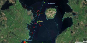
Markerpositionen am Areal Benjamin Rock;  © esri click picture to ArcGis Mapp
Marker Areal Benjamin Rock; © esri

MARINE NOTICE, No. 55 of 2014

Shannon Navigation

Lough Derg- Illaunmore

Navigation Hazard

Waterways Ireland has received a report that there is a 2 inch (50mm) steel bar sticking out of the water by about 4 inches (100mm), approximately two thirds of the way along a direct line between the eastern end of “Yellow Island” (the largest island on the northern side of Illaunmore) and Curraghmore Point (the nearest point of land to the north of Illanunmore).
This location appears to be in an area marked unsuitable for navigation, however, until such time as the report can be verified; masters are requested to keep a sharp look-out for this hazard when navigating in the vicinity of Illaunmore.

Charles Lawn, Inspector of Navigation, 30 May 2014
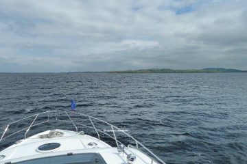
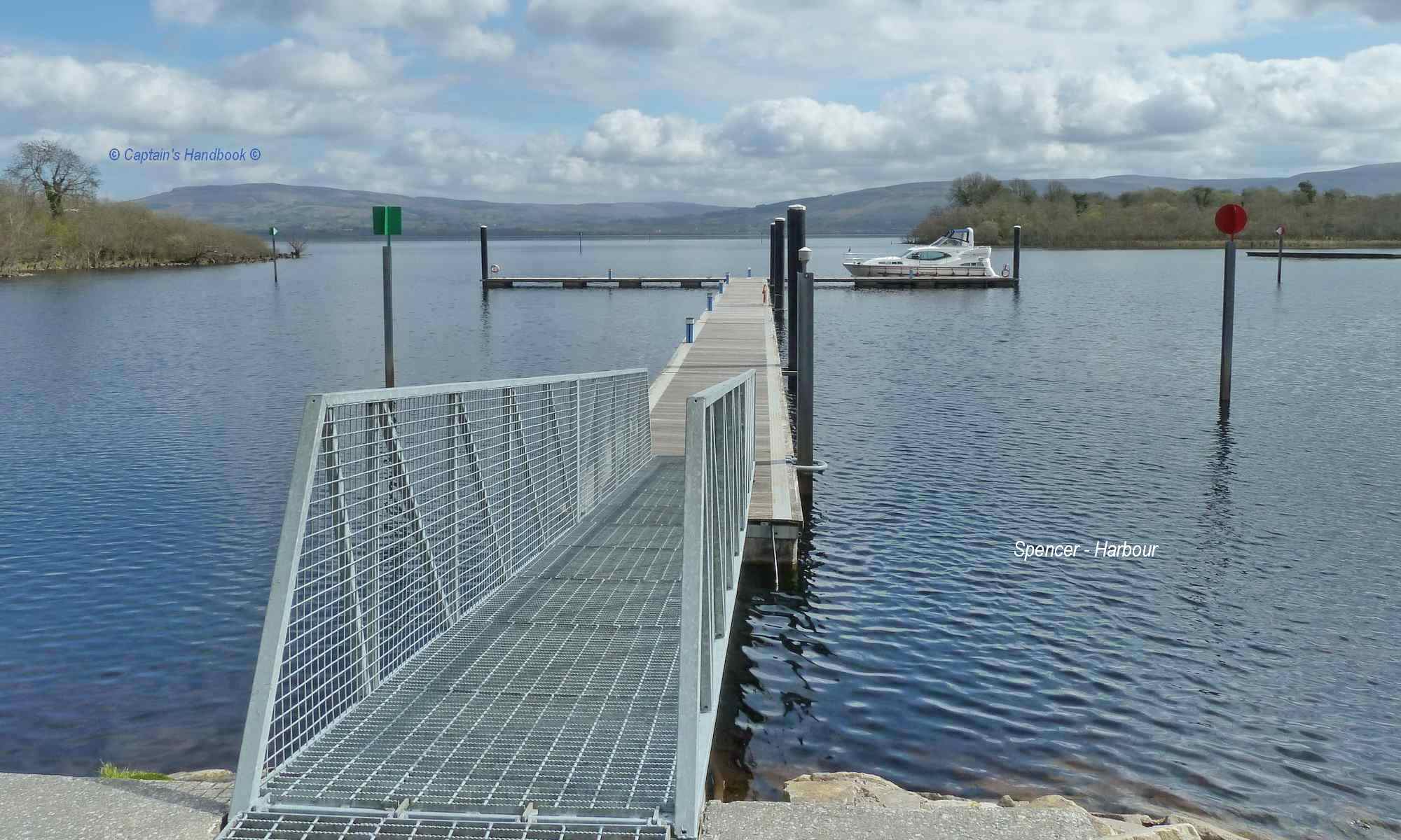
Illnaumore on Derg; © Captain’s Handbook; click picture to "enlarge"
Illnaumore on Derg

MARINE NOTICE 054 of 2014

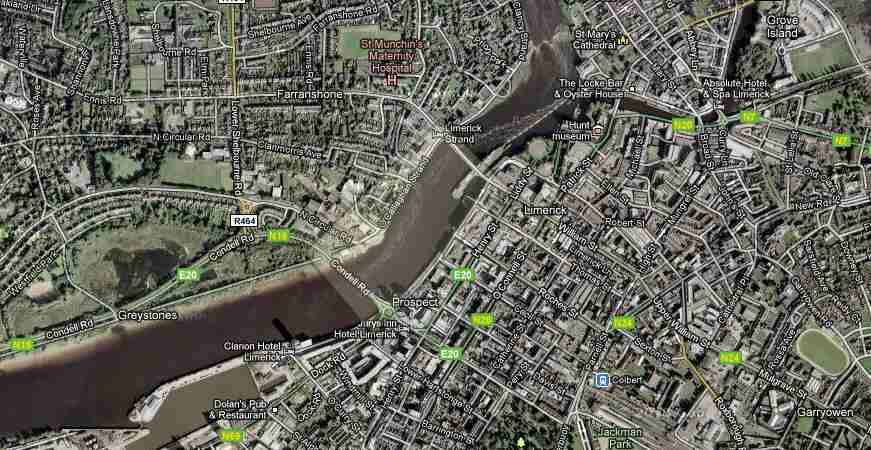
   Sarsfields Lock; © Google Maps
Sarsfields Lock; © Google Maps

MARINE NOTICE, No. 54 of 2014

Shannon Navigation

Limerick – Sarsfield’s Lock

Navigation Hazard

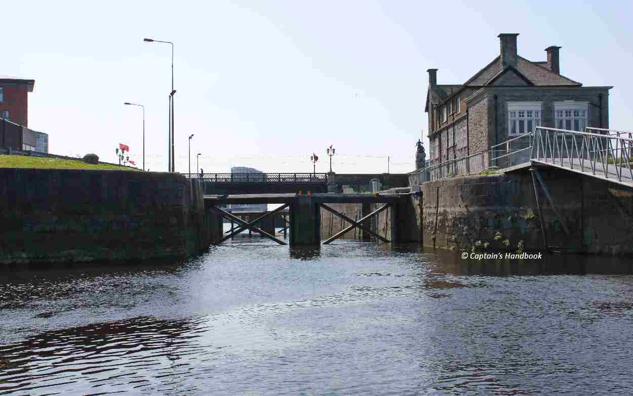
Waterways Ireland wishes to advise masters and owners that sheets of corrugated iron roofing material are lying on the bottom of the lay-by quay immediately downstream of Sarsfield’s Lock , Limerick.
Boats and vessels manoeuvring in the quay area especially at or near low water should be mindful of this hazard and proceed at slow speed and with due caution.

Waterways Ireland thanks its customers for their cooperation in this matter.

Charles Lawn, Inspector of Navigation, 30 May 2014
Sarsfields Lock; © Captain’s Handbook; click to " enlarge"
Sarsfields Lock; Limerick