MARINE NOTICE, No 097 of 2017

Erne-System; © esri; click to "to Belleek Map "
Erne-System; © esri

MARINE NOTICE, No 97 of 2017

Erne System

Reducing Water Levels

Waterways Ireland has been advised by Rivers Agency that from 1st October, in keeping with water level management protocols, users of the Erne System can expect reducing water levels throughout the navigation as water levels on Lower Lough Erne are lowered, weather permitting, to a minimum of 149 feet (Above Poolbeg Ordnance Datum), in anticipation of increased precipitation during Autumn & Winter.
If water levels do fall masters should be aware of:

    • Navigation
      To reduce the risk of grounding masters should navigate on or near the centreline of the channel, avoid short cutting in dog-legged channels and navigating too close to navigation markers.
    • Mooring of Vessels
      Masters should be aware that water levels may change rapidly and that mooring lines will require adjustment therefore these should be checked regularly.

Shane Anderson, Assistant Inspector of Navigation, 25 September 2017
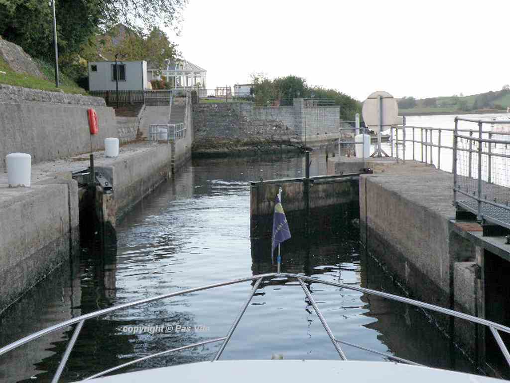
Portorra Lock, Lower Lough Erne
Captain's Handbook ©
Datenschutz-Übersicht

Diese Website verwendet Cookies, damit wir dir die bestmögliche Benutzererfahrung bieten können. Cookie-Informationen werden in deinem Browser gespeichert und führen Funktionen aus, wie das Wiedererkennen von dir, wenn du auf unsere Website zurückkehrst, und hilft unserem Team zu verstehen, welche Abschnitte der Website für dich am interessantesten und nützlichsten sind.

Die Datenschutzerklärung finden Sie  hier ====>>

This website uses cookies so that we can provide you with the best possible user experience. Cookie information is stored in your browser and performs functions such as recognizing you when you return to our website, and helps our team understand which sections of the website are most interesting and useful to you.

The privacy policy can be found  here ====>>