
MARINE NOTICE, No. 86 of 2024
Shannon Navigation
Portumna
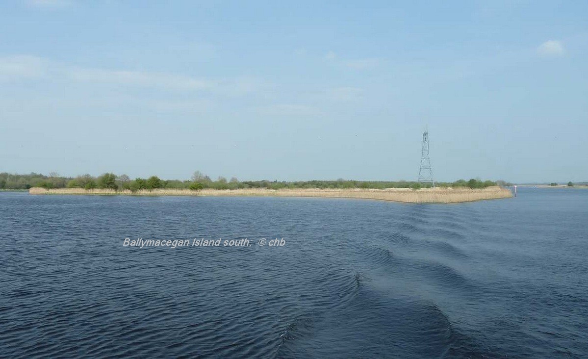
Ballymacegan Island
| Diving Operations – 26 August to 03 September 2024 |
Waterways Ireland wishes to advise Masters of Vessels and users of the Shannon Navigation that archaeological diving operations will be taking place at Ballymacegan Island and in a number of locations between Portumna Bridge and Ballymacegan Island from 26th August to 3rd September 2024.
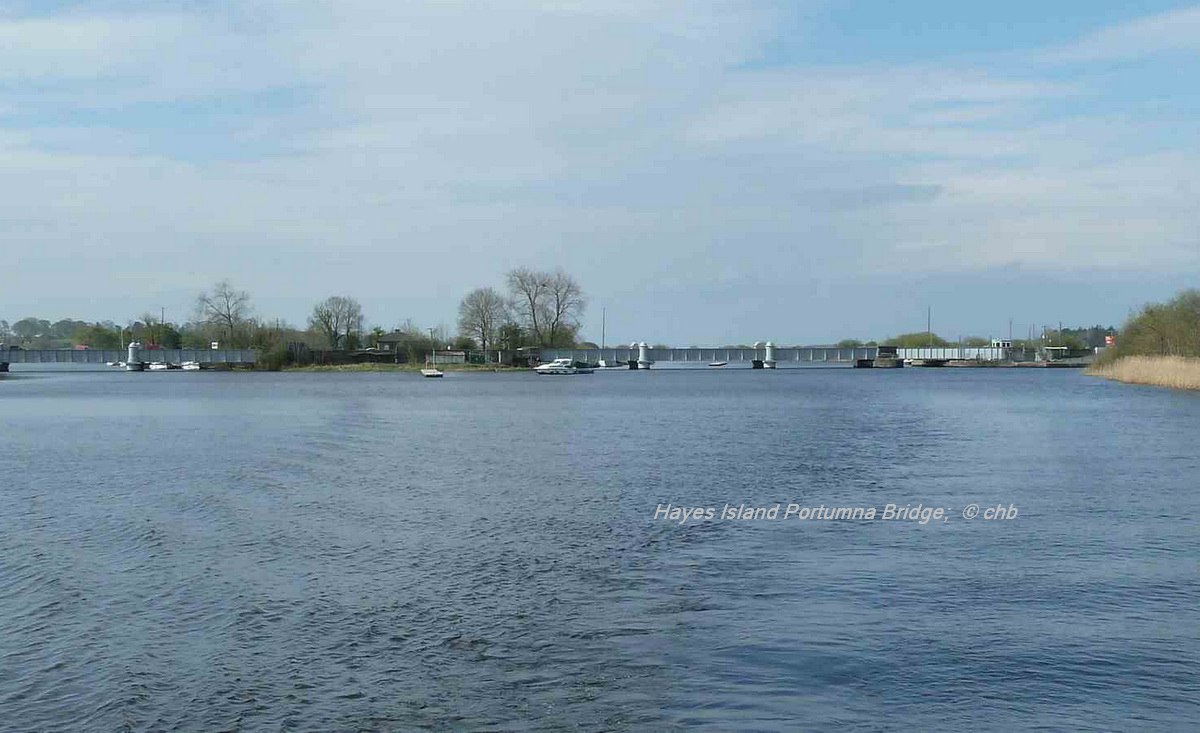
The principal area of operations will be the River Shannon between Ballymacegan Island Townland. Co. Tipperary and Tiernascragh Townland, Co. Galway.
Additional areas where diving will take place will be
-
-
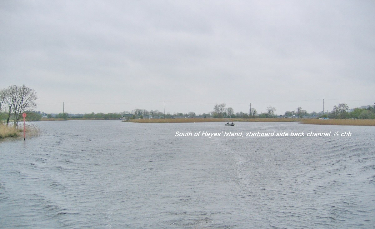
- Area 1: south of Hayes’ Island, within back channel;
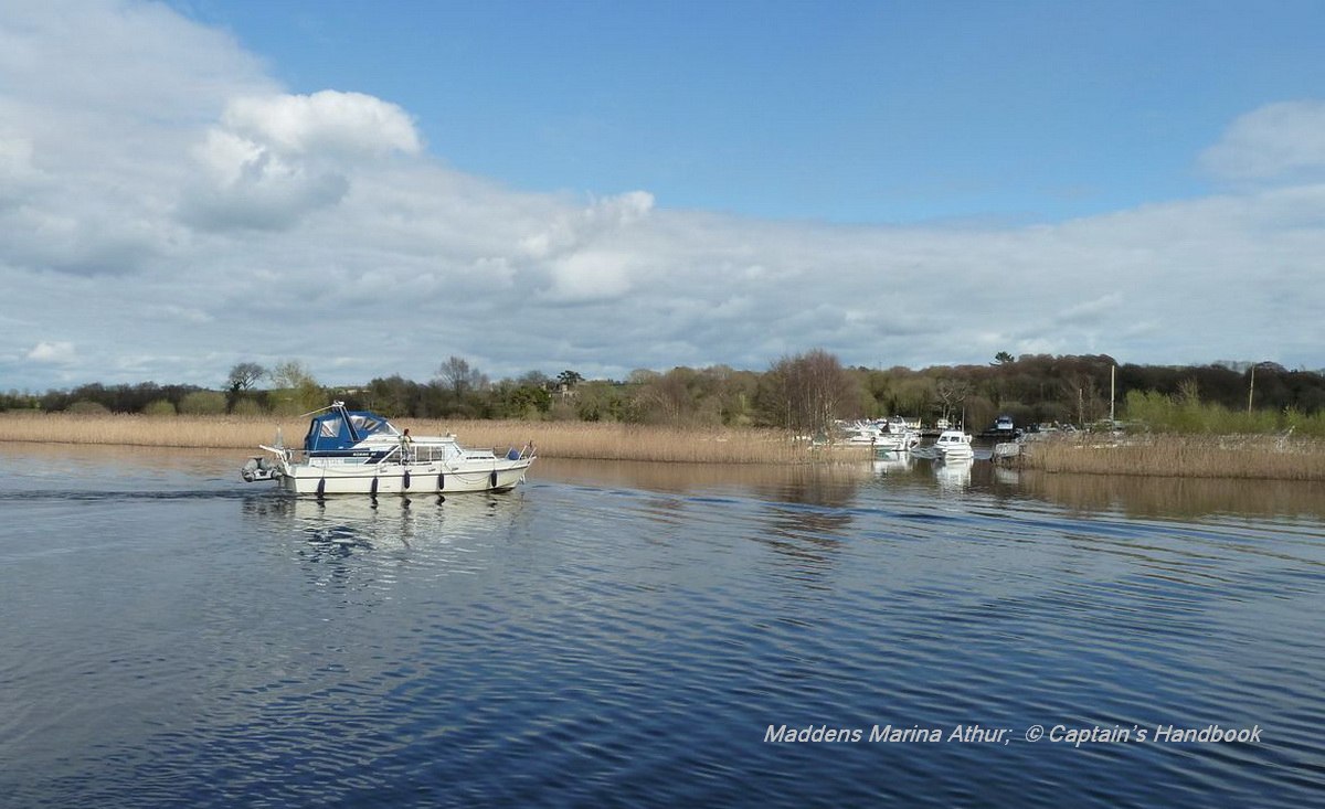
- Area 2: north and south of entrance to Madden’s Marina, on Tipperary side;
- Area 3: north of Long Island, between Ballymacegan, Co. Tipperary and Cappagh, Co. Galway.
-
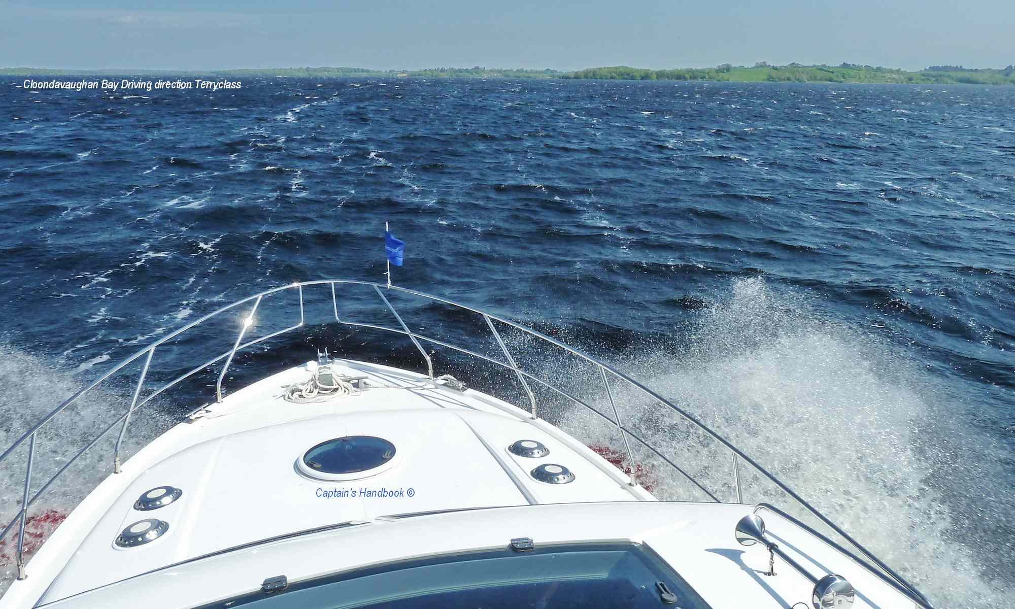
All masters and users of the Shannon Navigation are asked to pay heed to the blue and white dive flag that will be displayed indicating diving operations and to give the dive vessels and dive area a wide berth.
It should also be noted that in the Underwater Heritage Order “restricted area” at Ballymacegan Island, masters and users of the waterway should not drop anchor as it could pose a damage threat to this sensitive archaeological area.
Waterways Ireland thanks its customers for their co-operation in this matter.
P. Harkin, Inspector of Navigation, 27 August 2024
|
 |
 |
Portumna, Ballymacegan Island,
Taucherarbeiten – 26. August bis 03. September 2024
Waterways Ireland möchte die Schiffsführer und Benutzer der Shannon Navigation darauf hinweisen, dass vom 26. August bis zum 3. September 2024 archäologische Taucharbeiten bei Ballymacegan Island und an mehreren Stellen zwischen der Portumna Bridge und Ballymacegan Island stattfinden werden.
Das Hauptarbeitsgebiet wird der Fluss Shannon zwischen Ballymacegan Island Townland. Co. Tipperary und Tiernascragh Townland, Co. Galway.
Weitere Gebiete, in denen getaucht werden soll, sind
-
- Gebiet 1: südlich von Hayes‘ Island, im Back Channel;
- Gebiet 2: nördlich und südlich der Einfahrt zur Madden’s Marina, auf der Tipperary-Seite;
- Gebiet 3: nördlich von Long Island, zwischen Ballymacegan, Co. Tipperary und Cappagh, Co. Galway.
Alle Kapitäne und Benutzer der Shannon Navigation werden gebeten, die blau-weiße Tauchflagge zu beachten, die den Tauchbetrieb anzeigt, und den Tauchschiffen und dem Tauchgebiet einen großen Bogen zu machen.
Es sollte auch beachtet werden, dass die Kapitäne und Benutzer der Wasserstraße im „Sperrgebiet“ der Underwater Heritage Order bei Ballymacegan Island keinen Anker werfen sollten, da dies eine Gefahr für dieses empfindliche archäologische Gebiet darstellen könnte.
Waterways Ireland dankt seinen Fahrgästen für ihre Kooperation in dieser Angelegenheit.