MARINE NOTICE, No 40 of 2017
All Navigations
INVASIVE SPECIES ALERT!
River, Lake and Canal banks.
COYPU
Waterways Ireland wishes to advise all users of a large invasive rodent species that is highly damaging to River, Lake and Canal banks.
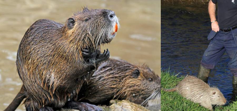
Yellow/orange front teeth, webbed feet, white muzzle (Shutterstock)
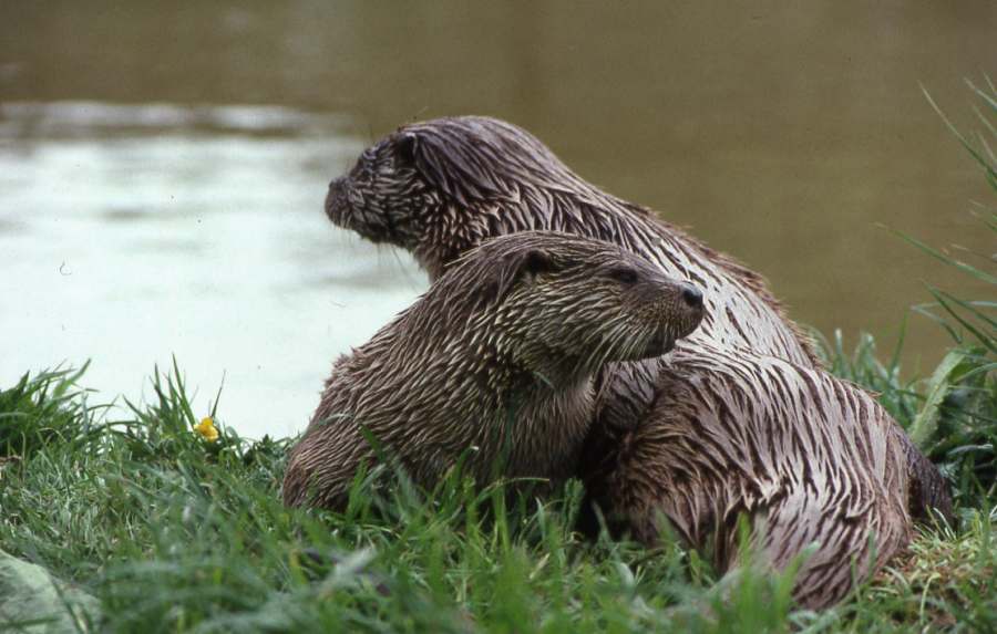
Up to 1m long (Eamonn Brennan)
The Coypu:
-
- Are highly invasive impacting on wildlife, river and canal bank stability and is a pest of agriculture crops.
- Eradication programmes can cost several millions of euro and are not always successful.
- Carry a number of diseases of importance to humans and domestic animals.
- Is a EU Regulated species of Union concern with trade, transport and reproduction restrictions in place [No.1143/2014]
- Recent Sighting of a Coypu in Cork City in 2017 raises concern of further spread.
What does it look like?
-
- Large semi-aquatic rodent up to 1 meter in head to tail length.
- Features same in juveniles.
- It can weigh 5-9kg.
- It has webbed hind feet.
- Dark fur often with lighter ends and has a white muzzle,
- Has long cylindrical tail (not fur tail like otter) and small slightly protruding ears.
- Distinctive features are large bright orange-yellow incisor (front) teeth usually visible.
- Coypu are generally found near permanent water.
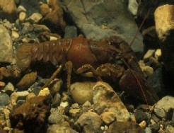
Please do not confuse it with the Common otter (shown below)
Please keep a look out for these creatures along the waterways and Report sightings with photographs to:
-
- NPWS at biodiversitypolicy@ahg.gov.ie with details of location/date; a photo if available or
- invasives@biodiversityireland.ie or
- http://records.biodiversityireland.ie or
- Your local National Parks and Wildlife Ranger or
- Waterways Ireland Environment Section 061-922141
For more information: https://species.biodiversityireland.ie
Date issued: May, 2017 V 1.0
C.J.Lawn, Inspector of Navigation, 6 Jun, 2017