SPECIAL MARINE NOTICE, No. 1 of 2019


WI-Waterways Ireland, click to "Waterways Ireland Map" © esri & WI
WI-Ireland, © esri

SPECIAL MARINE NOTICE, No. 1 of 2019

General Information on Waterways Ireland Navigation

Masters and owners are strongly recommended to check the Waterways Ireland website at www.waterwaysireland.org. for general information about the waterways and in particular the Marine Notices section which gives current operational information about the individual navigations such as works in progress, passage restrictions etc.

General Information on Waterways Ireland navigations; click picture to Waterways Ireland Webpage
General Information on Waterways Ireland Navigation

Allgemeine Informationen zu den Navigationen der irischen Wasserstraßen
Kapitänen und Schiffseigentümern wird dringend empfohlen, die Website von Waterways Ireland unter www.waterwaysireland.org. zu besuchen, um allgemeine Informationen über die Wasserstraßen zu erhalten, insbesondere den Abschnitt Marine-Nachrichten, der aktuelle operative Informationen über die einzelnen Navigationen wie laufende Arbeiten, Einschränkungen der Durchfahrt usw. enthält

Google Maps zeigt Irlands Shannon online

Shannon von Lough Allen bis Loop Head © Google click to Google Maps
Shannon von Lough Allen bis Loop Head © Google-Maps

Die Bootssaison 2019 hat ein neues Highlight

Google hat in Zusammenarbeit mit Waterways Ireland den Sommer damit verbracht, den Shannon von Lough Allen bis Loop Head zu befahren, und ermöglicht nun einen Ausblick auf den längsten Fluss Irlands. Das Ganze ist über den Link  (klick Foto oben)  zu erreichen.

Die Meldung von Waterways Ireland kann man hier nachlesen: (klick Foto unten)

News Waterways Ireland © WI; click picture to Waterways Webpage
News Waterways Ireland © WI

Viel Spass beim Ausprobieren!

Beitrag im Original von Waterways Ireland:

The Google Trekker Loan Programme, in conjunction with Waterways Ireland, has spent the summer touring the River Shannon from Lough Allen to Loop Head and is now ready to launch a Waterways View of Ireland’s longest river.

The data gathered represents the first such water-based collection of imagery on the Island of Ireland. It showcases the diverse landscape and heritage of this navigation as well as bringing attention to a myriad of different habitats, plants and animals that have been afforded protection ranging from National to European Wildlife designations. It will be an invaluable tool in terms of promoting the Shannon Navigation as a destination for recreation, tourism, mindfulness, education and heritage appreciation, encouraging visitors to the area. It can also be utilised by waterway communities to highlight this heritage asset and foster as sense of place.

The application to access the Google Trekker Loan Programme was made under the Waterways Ireland Heritage Plan 2016-2020 and the work was carried out by Waterways Ireland staff. A strategic partnership to capture the Shannon estuary was also forged with Clare County Council to extend the project beyond Waterways Ireland jurisdiction and ensure the full Shannon to Loop Head was captured.

The footage will be a significant asset to Irelands Hidden Heartlands, the new national destination brand for the Shannon Corridor being promoted by Fáilte Ireland in conjunction with Waterways Ireland and the 9 Local Authorities.

Waterways Ireland CE Dawn Livingstone , said “Waterways Ireland dedicated staff and resources to this innovative project in partnership with Google and are delighted that this unique perspective of the Shannon will be available to the public across the world through Google Trekker.”

The Google Trekker footage of the Shannon River is now live on Google Maps and can be viewed in satellite view and map view.

Der Beitrag wurde von Captain’s Handbook © übersetzt

Das Google Trekker Loan Programm hat in Zusammenarbeit mit Waterways Ireland den Sommer damit verbracht, den Fluss Shannon von Lough Allen bis Loop Head zu bereisen und ist nun bereit, einen Waterways View auf den längsten Fluss Irlands zu starten.

Die gesammelten Daten stellen die erste derartige wasserbasierte Sammlung von Bildern auf der Insel Irland dar. Es zeigt die vielfältige Landschaft und das Erbe dieser Navigation und macht auf eine Vielzahl verschiedener Lebensräume, Pflanzen und Tiere aufmerksam, die geschützt wurden, von nationalen bis hin zu europäischen Wildtierbezeichnungen. Es wird ein unschätzbares Instrument sein, um die Shannon-Navigation als Ziel für Erholung, Tourismus, Achtsamkeit, Bildung und Wertschätzung des Erbes zu fördern und Besucher in der Region zu ermutigen. Es kann auch von den Binnenschifffahrtsgemeinden genutzt werden, um dieses Erbe hervorzuheben und das Ortsgefühl zu fördern.

Der Antrag auf Zugang zum Google Trekker Loan Programm wurde im Rahmen des Waterways Ireland Heritage Plan 2016-2020 gestellt und die Arbeiten wurden von Mitarbeitern von Waterways Ireland durchgeführt. Eine strategische Partnerschaft zur Erfassung der Shannon-Mündung wurde auch mit dem Clare County Council geschmiedet, um das Projekt über die Zuständigkeit von Waterways Ireland hinaus auszudehnen und sicherzustellen, dass der gesamte Shannon bis zum Loop Head erfasst wurde.

Das Filmmaterial wird ein bedeutender Gewinn für Irelands Hidden Heartlands sein, die neue nationale Destinationsmarke für den Shannon Corridor, die von Fáilte Ireland in Zusammenarbeit mit Waterways Ireland und den 9 lokalen Behörden gefördert wird.

Waterways Ireland CE Dawn Livingstone, sagte: „Waterways Ireland hat in Partnerschaft mit Google Personal und Ressourcen für dieses innovative Projekt bereitgestellt und freut sich, dass diese einzigartige Perspektive des Shannon der Öffentlichkeit auf der ganzen Welt über Google Trekker zugänglich sein wird.

Das Google Trekker-Material vom Shannon River ist nun auf Google Maps live und kann in der Satelliten- und Kartenansicht betrachtet werden.


MARINE NOTICE, No 132 of 2018

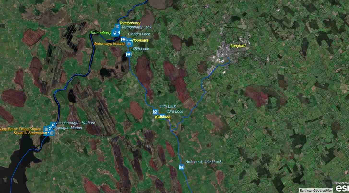
WI-Waterways Ireland, click to "Waterways Ireland Map" © esri & WI
Waterways Ireland, © esri

General Marine Notice

Prohibition on use of Marked Gas Oil on Personal Pleasure Craft from 1st Jan 2020

Waterways Ireland wishes to inform masters and owners of vessels that the Department of Finance in the Republic of Ireland intends changing the law regarding the use of Marked Gas Oil (MGO) in Private Pleasure Craft from 1st January 2020. The change is subsequent to an EU ruling against Ireland regarding the use of MGO on pleasure craft. The Department of Finance will propose an amendment to the Finance Act 2019, once the amendment is enacted, the use of MGO as a propellant by private pleasure craft will be illegal. The practical repercussions of this are that private pleasure craft will need to use auto diesel as a propellant.

EU Directive 2003/96 defines “private pleasure craft” as “any craft used by its owner or the natural or legal person who enjoys its use either through hire or through any other means, for other than commercial purposes and in particular other than for the carriage of passengers or goods or for the supply of services for consideration or for the purposes of public authorities”.

In simple terms the change to the law means that private and hired pleasure craft operating in the Republic of Ireland must use auto-diesel from 1st January 2020. Commercial and public authority craft are exempt from the requirement.

Further information can be obtained from the Office of the Revenue Commissioners.

Waterways Ireland thanks its customers for their cooperation.

P Harkin, Inspector of Navigation, 21 December 2018

Refuelling Lough Erne ABC
Refuelling Lough Ree PQ; click to enlarge
Refuelling Lough Ree PQ

Allgemeine Marine-Benachrichtigung
Verbot der Verwendung von markiertem Gasöl auf persönlichen Freizeitfahrzeugen ab dem 1. Januar 2020
Waterways Ireland möchte die Kapitäne und Schiffseigentümer darüber informieren, dass das Finanzministerium der Republik Irland beabsichtigt, das Gesetz über die Verwendung von Marked Gas Oil (MGO) in Private Pleasure Craft zum 1. Januar 2020 zu ändern. Die Änderung folgt auf ein EU-Urteil gegen Irland über die Verwendung von MGO auf Sportbooten. Das Finanzministerium wird eine Änderung des Finanzgesetzes 2019 vorschlagen, sobald die Änderung in Kraft tritt, wird die Verwendung von MGO als Treibstoff für private Sportboote illegal sein. Die praktischen Auswirkungen daraus sind, dass private Sportboote Auto-Diesel als Treibmittel verwenden müssen.
Die EU-Richtlinie 2003/96 definiert „private Sportboote“ als „alle Boote, die von ihrem Eigentümer oder der natürlichen oder juristischen Person, die ihre Nutzung entweder durch Vermietung oder durch andere Mittel genießt, für andere als kommerzielle Zwecke und insbesondere nicht für die Beförderung von Personen oder Gütern oder für die Erbringung von Dienstleistungen gegen Entgelt oder für die Zwecke von Behörden genutzt werden“.
Einfach ausgedrückt bedeutet die Gesetzesänderung, dass private und gemietete Sportboote, die in der Republik Irland eingesetzt werden, ab dem 1. Januar 2020 Autodiesel verwenden müssen. Gewerbliche und behördliche Boote sind von der Anforderung ausgenommen.
Weitere Informationen erhalten Sie beim Amt der Finanzverwaltung.
Waterways Ireland dankt seinen Kunden für die Zusammenarbeit.

MARINE NOTICE, No 048 of 2018

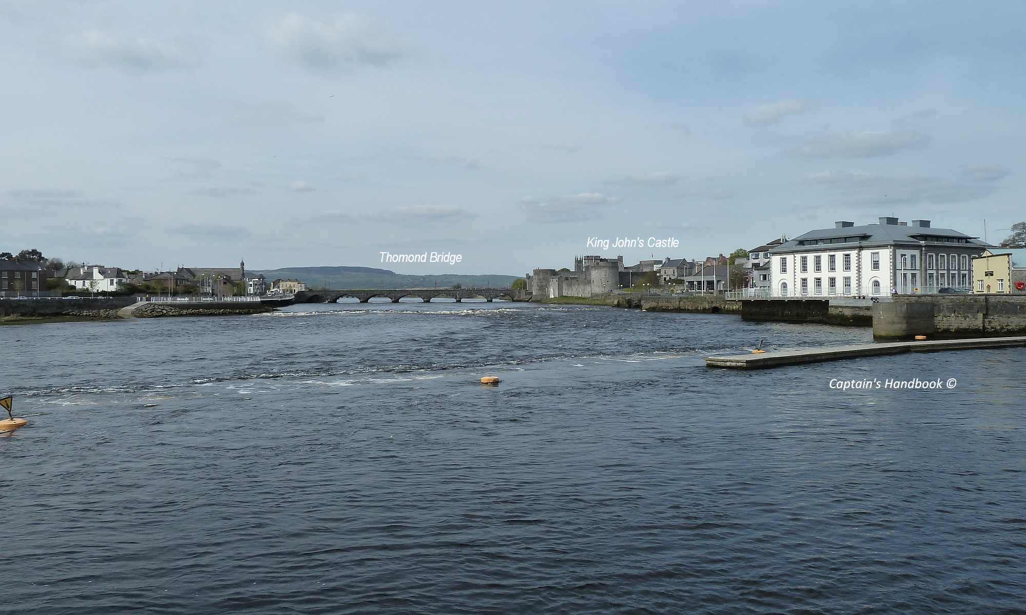
Sarsfield's Lock and Arthur's Quay; © esri; click to" esri-map Limerick-Town and Arthur's Quay"
Sarsfield’s Lock and Arthur’s Quay; © esri

MARINE NOTICE, No. 48 of 2018

SHANNON NAVIGATION

Opening Times for Sarsfield Lock Limerick

Waterways Ireland wishes to advise masters of all craft that a seasonal lock keeper has been engaged for Sarsfield Lock, Shannon Navigation, Limerick.
The attached schedule details the times when the lock is operational for navigation purposes.
The lock keeper can also be contacted during the listed operational hours on the mobile phone number, 087 7972998. Outside of operational hours a message can be left on the mobile.
Due to resource limitations only in exceptional circumstances will the lock gates be operated outside of the listed hours of operation.‘

Sarsfield Lock June Opening Time

Date Day Midpoint of HAT and LT Lock Opening (Start) Lock Closing (End) Tide
22.06.2018 Friday 11:50 10:50 13:50 Rising
23.06.2018 Saturday 12:57 11:57 14:57 Rising
25.06.2018 Monday 14:40 13:40 16:40 Rising
27.06.2018 Wednesday 10:02 09:02  12:02 Falling
29.06.2018 Friday 11:17 10:17  13:17 Falling
30.06.2018 Saturday 11:55 10:55 13:55 Falling

Sarsfield Lock July Opening Time

Date Day Midpoint of HAT and LT Lock Opening (Start) Lock Closing (End) Tide
02.07.2018 Monday 13:08 12:08 15:08 Falling
04.07.2018 Wednesday 14:27 13:27 16:27 Falling
06.07.2018 Friday 09:40 08:40 11:40 Rising
07.07.2018 Saturday 10:34 09:34 12:34 Rising
09.07.2018 Monday 12:39 11:39 14:39 Rising
11.07.2018 Wednesday 14:39 13:39 16:39 Rising
13.07.2018 Friday 10:23 09:23 12:23 Falling
14.07.2018 Saturday 11:23 10:23 13:23 Falling
16.07.2018 Monday 12:51 11:51 14:51 Falling
18.07.2018 Wednesday 14:33 13:33 16:33 Falling
20.07.2018 Friday 09:59 08:59 11:59 Rising
21.07.2018 Saturday 11:08 10:08 13:08 Rising
23.07.2018 Monday 13:29 12:29 15:29 Rising
25.07.2018 Wednesday 15:07 14:07 17:07 Rising
27.07.2018 Friday 10:24 09:24 12:24 Falling
28.07.2018 Saturday 11:00 10:00 13:00 Falling
30.07.2018 Monday 12:11 11:11 14:11 Falling

Sarsfield Lock August Opening Time

Date Day Midpoint of HAT and LT Lock Opening (Start) Lock Closing (End) Tide
01.08.2018 Wednesday 13:14 12:14 15:14 Falling
03.08.2018 Friday 14:35 13:35 16:35 Falling
04.08.2018 Saturday 09:00 08:00 11:00 Rising
06.08.2018 Monday 11:00 10:00 13:00 Rising
08.08.2018 Wednesday 13:23 12:23 15:23 Rising
10.08.2018 Friday 15:21 14:21 17:21 Rising
11.08.2018 Saturday 10:12 09:12 12:12 Falling
13.08.2018 Monday 11:45 10:45 13:45 Falling
15.08.2018 Wednesday 13:16 12:16 15:16 Falling
17.08.2018 Friday 08:50 07:50 10:50 Rising
18.08.2018 Saturday 09:15 08:15 11:15 Rising
20.08.2018 Monday 11:37 10:37 13:37 Rising
22.08.2018 Wednesday 14:07 13:07 16:07 Rising
24.08.2018 Friday 15:31 14:31 17:31 Rising
25.08.2018 Saturday 10:06 09:06 12:06 Falling
27.08.2018 Monday 11:14 10:14 13:14 Falling
29.08.2018 Wednesday 12:14 11:14 14:14 Falling
31.08.2018 Friday 13:18 12:18 15:18 Falling

Sarsfield Lock September Opening Time

Date Day Midpoint of HAT and LT Lock Opening (Start) Lock Closing (End) Tide
01.09.2018 Saturday 14:02 13:02 16:02 Falling
03.09.2018 Monday 09:26 08:26 11:26 Rising
05.09.2018 Wednesday 11:51 10:51 13:51 Rising
07.09.2018 Friday 14:19 13:19 16:19 Rising
08.09.2018 Saturday 15:12 14:12 17:12 Rising
10.09.2018 Monday 10:42 09:42 12:42 Falling
12.09.2018 Wednesday 12:06 11:06 14:06 Falling
14.09.2018 Friday 13:29 12:29 15:29 Falling
15.09.2018 Saturday 14:13 13:13 16:13 Falling
17.09.2018 Monday 09:26 08:26 11:26 Rising
19.09.2018 Wednesday 12:46 11:46 14:46 Rising
21.09.2018 Friday 14:32 13:32 16:32 Rising
22.09.2018 Saturday 15:10 14:10 17:10 Rising
24.09.2018 Monday 10:16 09:16 12:16 Falling
26.09.2018 Wednesday 11:16 10:16 13:16 Falling
28.09.2018 Friday 12:17 11:17 14:17 Falling
29.09.2018 Saturday 12:54 11:54 14:54 Falling

Waterways Ireland thanks it customers for their cooperation in this matter.

P Harkin, Inspector of Navigation, 15 June 2018

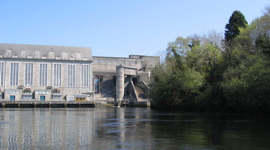
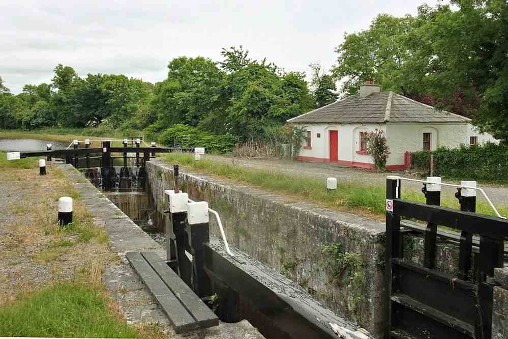
Sarsfields Lock upstream; © Captain’s Handbook
Sarsfields Lock upstream; © CHB
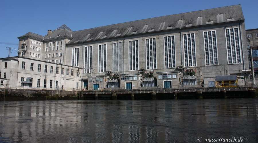
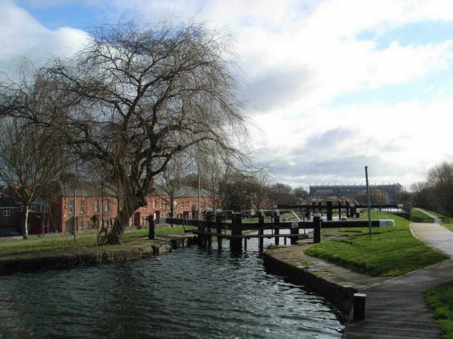
Sarsfields Lock downstream; © Captain’s Handbook
Sarsfields Lock downstream; © CHB