MARINE NOTICE, No. 120 of 2019
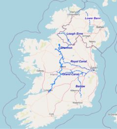
Erne System
Water Supply
Waterways Ireland wishes to advise its customers that the supply of water to taps on public moorings will be turned off over the winter months. This is to reduce running costs and maintenance as there is reduced demand for water due to a reduced number of mooring vessels during the winter months.
The water supply will be disconnected from Friday 8th November for the winter season. This service will be restored prior to the commencement of the 2020 boating season. A further advisory Marine Notice will be issued at that time.
Patrick Harkin, Inspector of Navigation, Tel: 353 90 6435693, 05 November 2019
 |
 |
Wasserversorgung
Waterways Ireland möchte seine Benutzer darauf hinweisen, dass die Wasserversorgung für Zapfstellen an öffentlichen Liegeplätzen in den Wintermonaten eingestellt wird. Dies soll die Betriebskosten und die Wartung reduzieren, da der Wasserbedarf durch eine geringere Anzahl von Liegebooten in den Wintermonaten reduziert wird.
Die Wasserversorgung wird ab Freitag, den 8. November für die Wintersaison unterbrochen. Dieser Service wird vor Beginn der Bootssaison 2020 wiederhergestellt. Zu diesem Zeitpunkt wird eine weitere informative Marine-Mitteilung veröffentlicht.