Notwasserrung in der Trial Bay

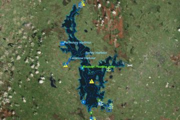
Lower- Upper Lough Erne; © esri; click to ArcGiMap Erne
Lower- Upper Lough Erne; © esri

Notlandung (Wasserlandung) eines Kleinflugzeuges auf dem Upper Erne

Zwei Männer sind mit einem Kleinflugzeug in der Trial Bay gestern am Freitag gegen 16:00 Uhr notgelandet.  Der Helikopter  der irischen Küstenwache wurde zusammen mit zwei Rettungsbooten zur Suche eingesetzt.

Der Pilot konnte auf der Wassersoberfläche in der Nähe des Ufers bei Derryvore, nahe Teemore landen. Die beiden Männer die sich an Bord befanden sind schwimmend zum Ufer gekommen und wurden nicht verletzt.

Mehr über diese Notlandung ist zu erfahren in beiden Journals, beim Independent gibt es auch das Video der Suche des RNLI zu sehen.

© Impartial-Reporter
Indipendent
© Indipendent
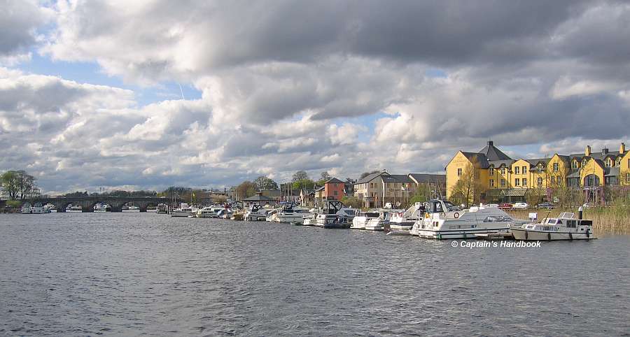
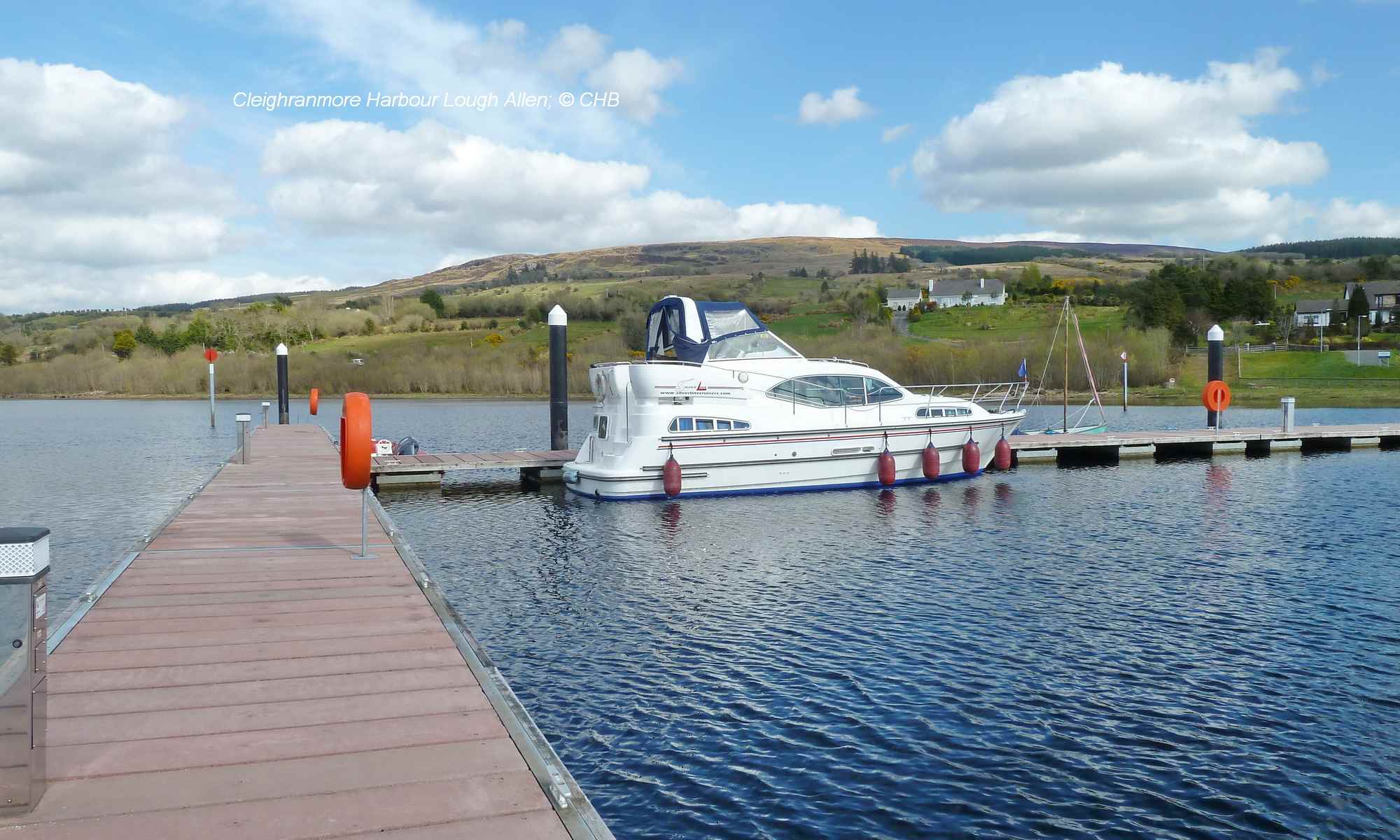
Trial Bay Anleger Upper Lough Erne

Ankern im Lough Alewnaghta

Lough Alewnaghta (Lake Úmará); © esri

Ankern im Lough Alewnaghta, nahe Williamstown am Lough Derg. (2013)

(auch von den Locals Lake Úmará genannt)

Der Lake Alewnaghta liegt im Norden der Stadt Withegate (Country Clare), nahe am Westufer des Lough Derg. Der River „Derrainy“ ist der wichtigste Zufluß zum See. Die Geologie im Bereich um den Lake besteht aus Sand- und Kalkstein. Der Lake hat eine Fläche von 54ha, sowie eine mittlere Tiefe von weniger als 4m und eine maximale Tiefe von ca. 4,5 m. Er neigt zu einer moderaten Alkalität (20 – 100mg / l CaCO3.
Der See ist kategorisiert als Typologie Klasse 6 laut Artikel 8 der Wasserrahmenrichtlinie (WRRL). Der Artikel 8 der Wasserrahmenrichtlinie (WRRL) bedeutet, für die Überwachung der Gewässer (Oberflächengewässer, Grundwasser und Schutzgebiete) sind Programme aufzustellen, die einen zusammenhängenden und umfassenden Überblick über den Zustand der Gewässer ermöglichen. Bei den Oberflächengewässern umfassen die Programme den ökologischen und chemischen Zustand und das ökologische Potential sowie Wassermenge, Wasserstand, Strömungsgeschwindigkeit, soweit sie von Bedeutung sind. Bei Grundwasser umfassen die Programme die Überwachung des chemischen und mengenmäßigen Zustands. Bei Schutzgebieten werden die Programme nach den speziellen Anforderungen der gemeinschaftlichen Rechtsvorschriften ergänzt, nach denen sie ausgewiesen
wurden.

Lake Alewnaghta Szenerie

Diese Programme sind seit dem 22.12.2006 anwendungsbereit und werden seit März 2007 der EU entsprechend der Vorgaben zur einheitlichen Datenübermittlung in Form eines zusammenfassenden Berichtes vorgelegt.
Der See wurde im August 2009 als Teil der WRRL Überwachung (Monitoring-Programm auch 2010 durchgeführt) gesichtet. Während dieser Überwachung wurden Barsche als die dominierende Spezies im Lake gefunden. Ebenfalls sind Rotaugen, Brassen, Hechte und Aale heimisch. Das Gebiet um den Lake hat eine interessante Flora und Fauna.

Fazit:

Sehr schöner ruhiger (außer am Osterweekend da gibt es Pferderennen und Pferdeversteigerung mit Moderation, man hört seine Wettergebnisse von Withegates Festplatz) Ankerplatz. Keine Jetski und oder Wasserskifahrer, Natur pur.

Die Einfahrt erfordet ein gutes Auge um sie überhaupt zu entdecken. Einen Beobachter am Bug zur Kontrolle der Wassertiefe und Treibholz wäre sinnvoll. Bei normalem Sommerlevel ist die Wassertiefe im Verbindungskanal zum Lough Derg vollkommen ausreichend.

Achtung: ca 700 m vor der Einfahrt befindet sich an der Backbordseite eine Untiefe (shallow)

Beim Ankern  im Lough Alewnaghta ist wie bei allen Excursionen zuvor die Genehmigung des Vermieters einzuholen, und sich den Kurs genauestens einzuprägen. Die Karte dient nicht zur Navigation sondern nur zur Information.

Noch einige Bilder zur  Ein- und Ausfahrt:

Lake Einfahrt
Einfahrt
Lake Alewnaghta Zufahrtkanal
Zufahrtkanal
Blick zum See
Blick zum See
Ostufer, Ankerplatz
Ostufer, Ankerplatz
Ausfahrt zum Lough Derg
Blick zurück zur Einfahrt

Es gibt einen einen sehr schönen Rundwanderweg von Dromaan über Williamstown am See vorbei nach Withegate und dann zurück nach Dromaan. Beschrieben ist er auf der Seite Waterway Walks bei Lough Derg.

Anchoring in Lough Alewnaghta, near Williamstown on Lough Derg. (also called Úmará Lake by the Locals)

Lake Alewnaghta is located in the north of the town of Withegate (Country Clare), close to the western shore of Lough Derg. The river „Derrainy“ is the most important tributary to the lake. The geology around the lake consists of sandstone and limestone. The lake has an area of 54ha, an average depth of less than 4m and a maximum depth of about 4.5m. It tends to have moderate alkalinity (20 – 100mg / l CaCO3).
The lake is categorized as typology class 6 according to Article 8 of the Water Framework Directive (WFD). Article 8 of the Water Framework Directive (WFD) means that programmes must be drawn up for the monitoring of water bodies (surface waters, groundwater and protected areas) to provide a coherent and comprehensive overview of the status of water bodies. In the case of surface waters, the programmes shall include the ecological and chemical status and the ecological potential as well as water quantity, water level and flow velocity, where relevant. For groundwater, the programmes shall include monitoring of chemical and quantitative status. In the case of protected areas, the programmes shall be supplemented according to the specific requirements of the Community legislation under which they have been designated.
The lake was sighted in August 2009 as part of the WFD monitoring (monitoring programme also carried out in 2010). During this monitoring, perch were found to be the dominant species in the lake. Also native are roach, bream, pike and eel. The area around the lake has an interesting flora and fauna.
Conclusion:
Very nice and quiet (except at the Easter weekend there are horse races and horse auctions with moderation, you can hear his weather results from Withegate’s fairground) anchorage. No jet ski or water ski, pure nature.
The entrance requires a good eye to discover it at all. An observer at the bow to control the water depth and driftwood would be useful. At normal summer levels, the water depth in the Lough Derg canal is perfectly sufficient.
Attention: about 700 m before the entrance there is a shallow on the port side.
When anchoring in Lough Alewnaghta, as with all excursions, the permission of the landlord must be obtained beforehand and the course must be memorised in detail. The map is not for navigation but for information only.
There is a very nice circular trail from Dromaan via Williamstown past the lake to Withegate and then back to Dromaan. It is described on the page Waterway Walks at Lough Derg.


MARINE NOTICE 129 of 2013

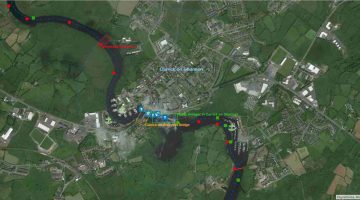
Ballinamore Lock 6, © esri; click to Arcgis Map "Ballinamore Lock 6"
Ballinamore Lock 6, © esri

MARINE NOTICE, No 129 of 2013

SHANNON –ERNE WATERWAY

LOCK 6 BALLINAMORE CLOSURE

Waterways Ireland wishes to advise all Masters of vessels and users of the waterways that the Shannon – Erne Waterway will be closed to navigation at Lock 6 Ballinamore from 14th November 2013 until early April 2014 to facilitate the necessary repairs to lock gates.  A section of the canal bank walkway adjacent to Lock 6 Ballinamore will also be closed for the durations of the works.
Waterways Ireland regrets any inconvenience that this may cause its customers.

C.J.Lawn, Inspector of Navigation, 7th November 2013

Ballinamore-Jetties; down the Lock 6; © Captain’s Handbook; click picfture to "enlarge"
Ballinamore-Jetties

MARINE NOTICE 128 of 2013

Lough Allen  Acres Lake; © esri; click picture to Lough Allen ArcGis Map
Lough Allen Acres Lake; © esri

MARINE NOTICE, No. 128 of 2013

SHANNON NAVIGATION
DRUMSHANBO

ACRES LAKE

Floating Moorings

Waterways Ireland wishes to advise masters and owners that works to upgrade the fixed pier and access ramp to the floating moorings at Acres Lake, Drumshanbo will commence on Wed 13th November 2013.
There will be no access or mooring permitted at the floating moorings, by land or water, during the upgrade works which are due to be complete by 20th December 2013.
Waterways Ireland apologises for any inconvenience caused during these works and advises that alternative mooring facilities are close by at Drumshanbo Lock.

Charles Lawn, Inspector of Navigation, 5 Nov 2013

MARINE NOTICE 127 of 2013

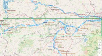
Inland Waterway’s, © WI

MARINE NOTICE, No 127 of 2013

GRAND CANAL
Tullamore

Restricted Navigation

Waterways Ireland wishes to advise masters and owners of vessels that navigation on the Grand Canal from the 34th Lock at Clonony to the 21st Lock at Ballycommon will be closed from Monday 4th November until Friday 20th December 2013 to facilitate maintenance works.
Waterways Ireland thanks its customers for their cooperation in this matter.

Charles Lawn, Lt Cdr(rtd), Inspector of Navigation, 4 Nov 2013