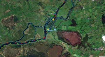
Im Süden des Benjamin Rock, Flachstelle entdeckt!

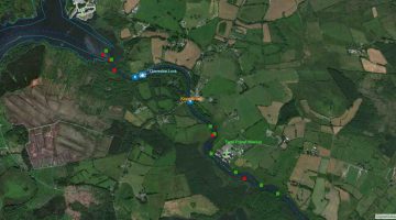
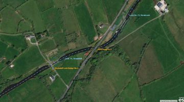
Flachstelle nahe Benjamin Rock , © esri
Shallow near Benjamin Rock , © esri

Flachstelle nahe Benjamin Rock

Bei den Tiefenmessungen für eine neue Karte der Inland Waterways Association of Ireland (IWAI) hat das Survey-Team der Lough Derg Branch (CSIG) Brain & Fergal eine Flachstelle südlich des Benjamin Rocks endeckt. Die Daten sind mit dem Program „drdepth“  aufgearbeitet.

Die Position: 52° 57.3610 N  8° 18.9070 W Tiefe 4ft = 1,219 m

Beim anklicken des Fotos ist die Tiefenkarte mit den Messungen einzusehen. Nachdem das Survey Team Waterways Ireland über diese Flachstelle informiert hatte, wurde von WI der rote Marker auf eine neue Position gesetzt. Auf der Karte ist die Position des versetzten roten Markers zu erkennen (rechter unterer Bildrand der Map).

Neue Posiion Roter Marker: 52° 57.36 N  8° 18.75 W

Vielen Dank an Brain und Fergal für diese wichtige Information

hazard-benjaminrock-2708-132
Hazard Benjaminrock; ; Courtesy of Brain and Fergal

MARINE NOTICE 106 of 2013

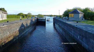
Shannon Erne Waterway Lock's © esri
Lock 8, Castlefore, © esri
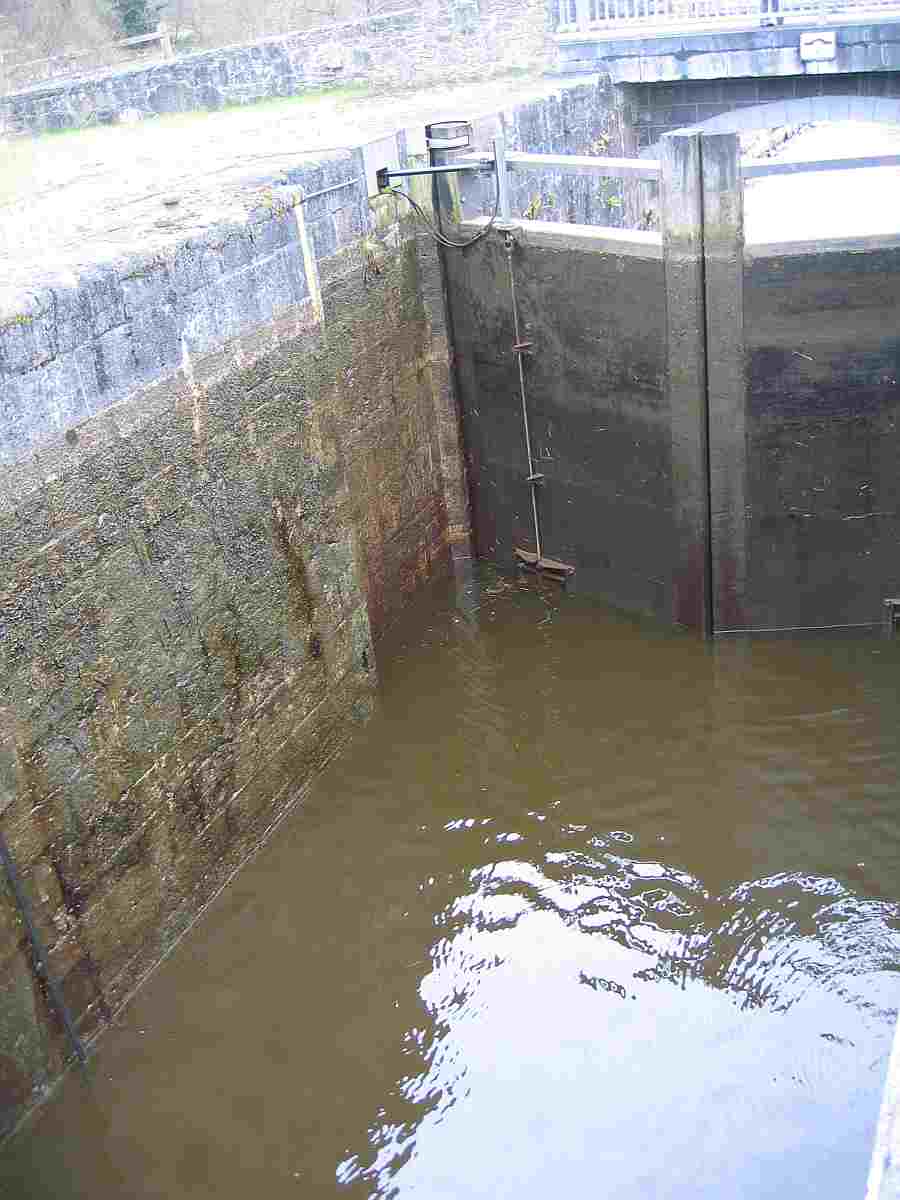
the Shannon-Erne Waterway that due to unforeseen circumstances Lock 8 Castlefore Co. Leitrim will be closed for emergency repair works on Tuesday 27 August 2013.
Waterways Ireland apologises for any inconvenience this may cause to its customers.

C.J.Lawn, Lt Cdr (rtd), Inspector of Navigation, 26 Aug 2013

Castlefore-Lock-NO.8; click to "enlarge"

MARINE NOTICE 105 of 2013

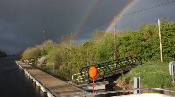
Tarmonbarry Locks and Bridges © esri

MARINE NOTICE No 105 of 2013

Shannon Navigation & Royal Canal
Tarmonbarry, Rooskey & Begnagh Bridges

LONGFORD MARATHON

Waterways Ireland wishes to advise all Masters and users that in order to facilitate the annual Longford Marathon road race on Sun 25 Aug 2013 lifting bridge operations will be restricted accordingly.
The following  restrictions will apply to the lifting bridges, which will be closed during the amended time periods below.

    • Shannon Navigation – Rooskey Bridge (11.00am – 12.30pm)
    • Shannon Navigation – Tarmonbarry Bridge (10.20 – 12.00 pm)
    • Royal Canal – Begnagh Bridge (9.00am – 10.00am)

C.J.Lawn, Lt Cdr (RTD), Inspector of Navigation, 23 August 2013

MARINE NOTICE 104 of 2013

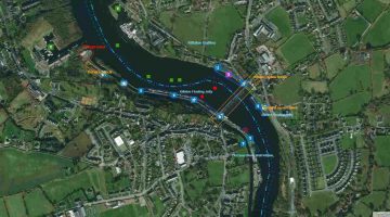
Richmond Harbour; © esri; clicl picture to ArcGismap Shannon Richmond Harbour
Richmond Harbour; © esri

MARINE NOTICE No. 104 of 2013
Royal Canal
RICHMOND HARBOUR

International Canoe Polo Irish Open 2013

Waterways Ireland wishes advise all users of the Royal Canal that the above event will take place in Richmond Harbour on Sat 31st Aug and Sun 1 Sep from 0800hrs until 2000hrs daily.
To facilitate the Canoe Polo event masters and owners are requested to clear the harbor prior to the event.
Masters wishing to make a passage through the area can do so between 1300hrs and 1400hrs each day.
Waterways Ireland thanks its customers for their cooperation with this event.

C. Lawn, Inspector of Navigation, 21 Aug 2013

Richmond Harbour
Richmond Harbour

MARINE NOTICE 102 and 103 of 2013

MARINE NOTICE No.102 of 2013

Royal Canal
Kilcock
International Canoe Polo Irish Open 2013

Marine Notice No 100 refers

Waterways Ireland wishes to advise all users of the Royal Canal that the above event will  not take place in Kilcock on Sat 31st Aug and Sun 1st Sept from 0800hrs until 20000hrs
Marie Notice No 100 is now withdrawn.
Charles Lawn, Lt Cdr (rtd), Inspector of Navigation, 21 Aug 2013


MARINE NOTICE No.103 of 2013
Royal Canal
Kilcock
International Canoe Polo Irish Open 2013

Marine Notice No 100 refers

Waterways Ireland wishes to advise all users of the Royal Canal that the above event will take place in Kilcock on Sat 31st Aug and Sun 1st Sept from 0800hrs until 20000hrs
Marie Notice No 100 is now withdrawn.
Charles Lawn, Lt Cdr (rtd), Inspector of Navigation, 19 Aug 2013