MARINE NOTICE 005 of 2016

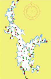
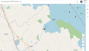
Quaker Island Map; © esri; click to Arcgis Map "Quaker Island Map"
Quaker Island Map; © esri

MARINE NOTICE, No 5 of 2016

Shannon Navigation

Lough Ree – Quaker Island

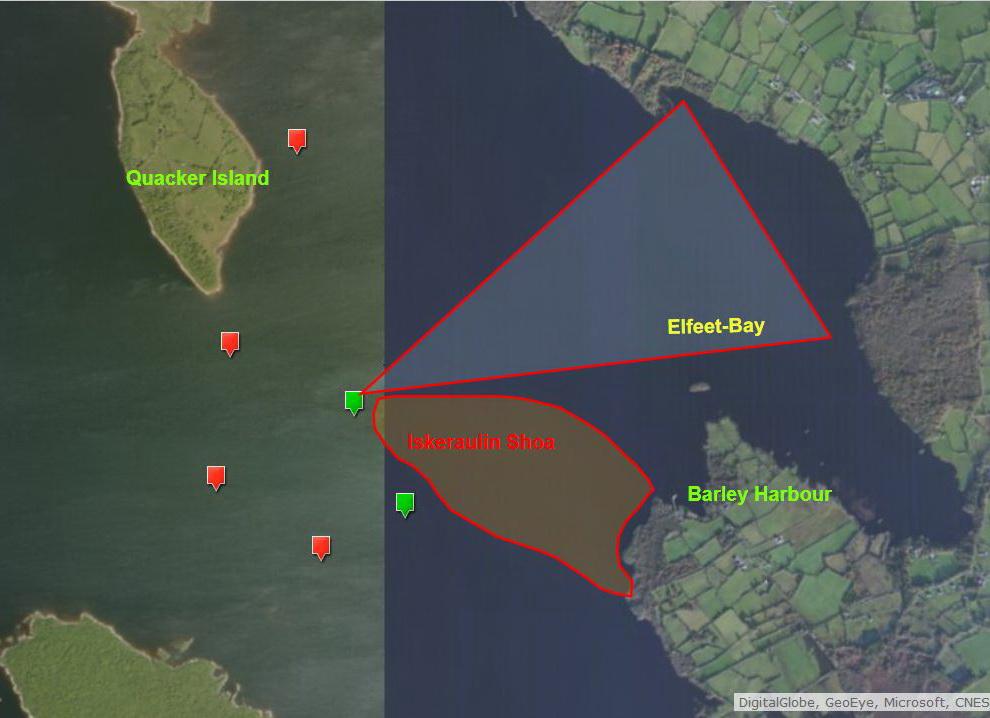
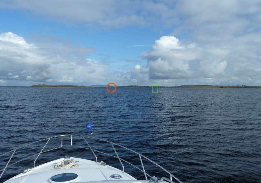
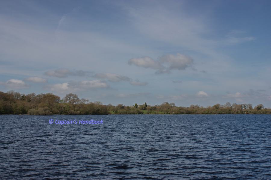
Waterways Ireland has received a report that the Green marker stationed adjacent to Iskeraulin Shoal , south of Quaker Island, has drifted into Elfleet Bay to the East.

Masters should navigate with due caution.

Charles Lawn, Inspector of Navigation, 29 January 2016

Quaker Island  "Green Marker 537"; © Captain’s Handbook; click picture to "enlarge"
Quaker Island © Captain’s Handbook
Quaker Island; © Captain’s Handbook; click picture to "enlarge"
Quaker Island © Captain’s Handbook

MARINE NOTICE 111 of 2015

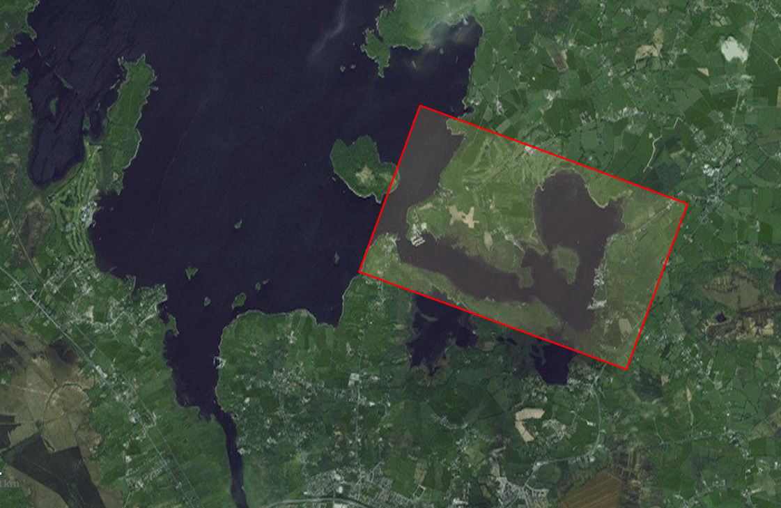
Lecarrow; © esri; click to esrimap"Lecarrow Lough Ree"
Lecarrow; © esri
Lecarrow; © esri

Shannon Navigation

Lecarrow

Weed Cutting

Waterways Ireland wishes to advise all masters and owners of vessels on the Shannon Navigation that weed cutting is being carried out on the Canal in Lecarrow until 11th September 2015.
Masters of vessels are requested to proceed at slow speed and to navigate with due caution.
Waterways Ireland regrets any inconvenience that this may cause its customers.

Charles Lawn, Inspector of Navigation, 27 Sept 2015

Lecarrow Canal;© Captain’s Handbook

MARINE NOTICE, No 056 of 2015

Lough-Ree-Ireland; © esri; click to Arcgis Map "Lough-Ree-Ireland"
Lough-Ree-Ireland; © esri

MARINE NOTICE, No 56 of 2015

Shannon Navigation

Lough Ree

Red Navigation Buoy No 3 Adrift

Waterways Ireland wishes to advise masters and owners of vessels that the large Red navigation buoy No. 3, marking Cornamisseog Rocks and East of Kilmore Bay is reported adrift and last seen headed in a northerly direction.
Masters are requested to keep a sharp look-out and navigate with due caution.

C.J.Lawn, Inspector of Navigation,18 May 2015

Red Nav Bouy No. 3 Lough Ree; © Captain’s Handbook

MARINE NOTICE, No 055 of 2015

Lough-Ree-Ireland; © esri; click to Arcgis Map "Lough-Ree-Ireland"
Lough-Ree-Ireland; © esri

MARINE NOTICE, No 55 of 2015

Shannon Navigation

Lough Ree

Yellow Special Mark Buoy Adrift

Waterways Ireland wishes to advise masters and owners of vessels that a Yellow „Special Mark“ buoy marking the Defence Forces firing range to the west of Cribby Islands is reported adrift and last seen in the general vicinity of Nun’s Island.

Masters are requested to keep a sharp look-out and navigate with due caution.

C.J.Lawn, Inspector of Navigation, 18 May 2015

Yellow Special Marker Lough Ree; © WI
Yellow Special Marker marking the Defence Forces Lough Ree; © WI

MARINE NOTICE, No 054 of 2015

Killinure- Lough; © esri; click to Esri Map "Killinure- Lough "
Killinure- Lough; © esri

MARINE NOTICE, No.54 of 2015

SHANNON NAVIGATION

Lough Ree – Athlone

Coosan Point

Triathlon Swim Training Course.

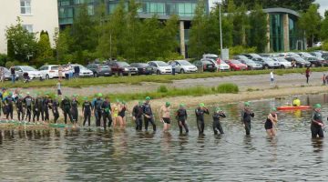
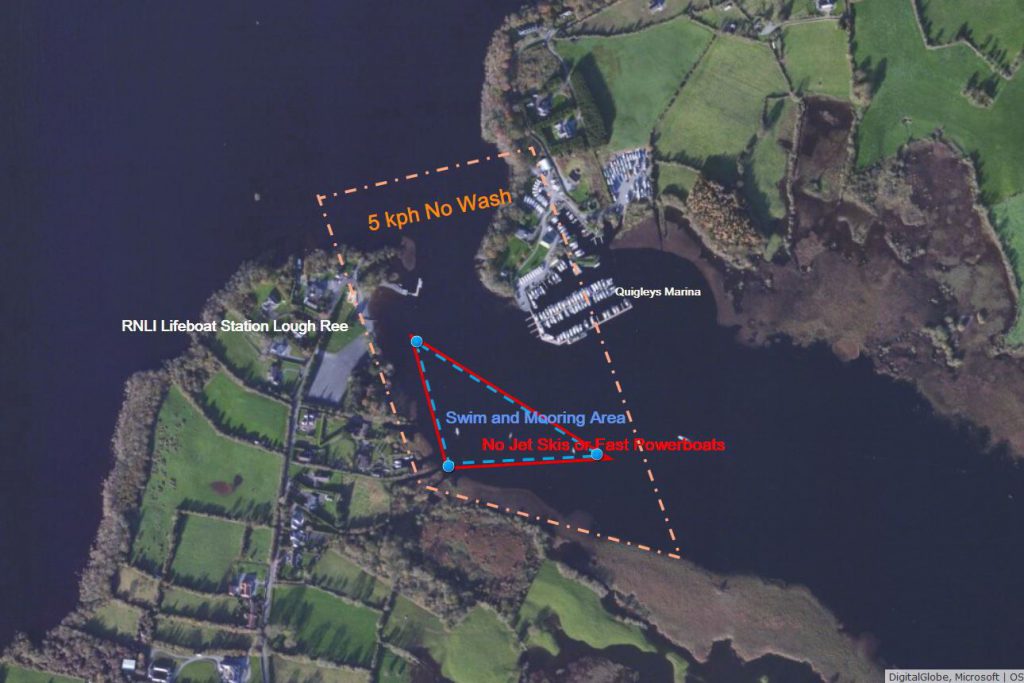
Waterways Ireland wishes to advise masters and owners that a Triathlon Swim Training Course is presently laid out at Coosan Point, Athlone for the summer period.
The 750m course is set out just south of the Waterways Ireland moorings and is marked by three large orange buoys.
The course will be active daily when a Yellow flag is flown from a mast located on the foreshore during the following times:
0800 to 1000hrs
1230 to 1400 hrs
1700 to 2030 hrs
Masters are requested to proceed at slow speed and with minimum wash when passing the course and to note any advice given by safety boat marshals accompanying swimmers.
Waterways Ireland thanks its customers for their cooperation in this matter.

Charles Lawn, Inspector of Navigation, 18 May 2015.

 Coosan Poin Lough Ree
Coosan Poin Lough Ree