MARINE NOTICE, No. 86 of 2024

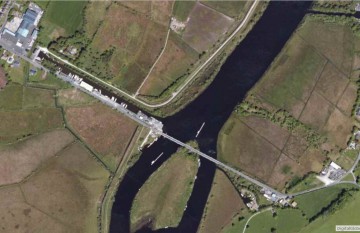
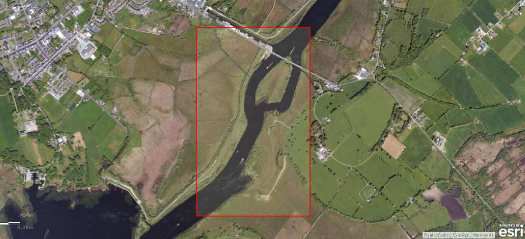
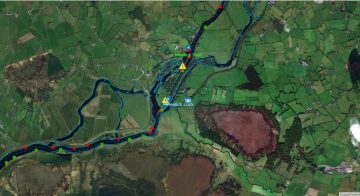
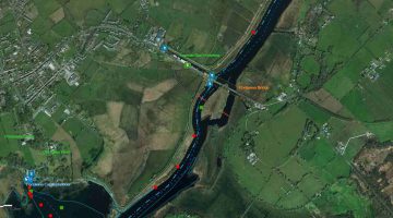
Ballymacegan Islandk; © esri; click picture to "Arcgis Map"
Ballymacegan Islandk; © esri

MARINE NOTICE, No. 86 of 2024

Shannon Navigation

Portumna

Ballymacegan Island

Diving Operations – 26 August to 03 September 2024

Waterways Ireland wishes to advise Masters of Vessels and users of the Shannon Navigation that archaeological diving operations will be taking place at Ballymacegan Island and in a number of locations between Portumna Bridge and Ballymacegan Island from 26th August to 3rd September 2024.
The principal area of operations will be the River Shannon between Ballymacegan Island Townland. Co. Tipperary and Tiernascragh Townland, Co. Galway.
Additional areas where diving will take place will be

      • Area 1: south of Hayes’ Island, within back channel;
      • Area 2: north and south of entrance to Madden’s Marina, on Tipperary side;
      • Area 3: north of Long Island, between Ballymacegan, Co. Tipperary and Cappagh, Co. Galway.

All masters and users of the Shannon Navigation are asked to pay heed to the blue and white dive flag that will be displayed indicating diving operations and to give the dive vessels and dive area a wide berth.
It should also be noted that in the Underwater Heritage Order “restricted area” at Ballymacegan Island, masters and users of the waterway should not drop anchor as it could pose a damage threat to this sensitive archaeological area.
Waterways Ireland thanks its customers for their co-operation in this matter.

P. Harkin, Inspector of Navigation, 27 August 2024
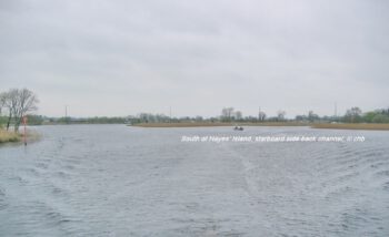
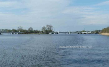
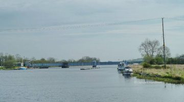
Hayes Island view upstream Backcanal starbord site
Hayes Island at Portumna Bridge view downstream


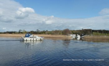
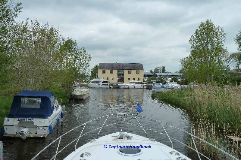
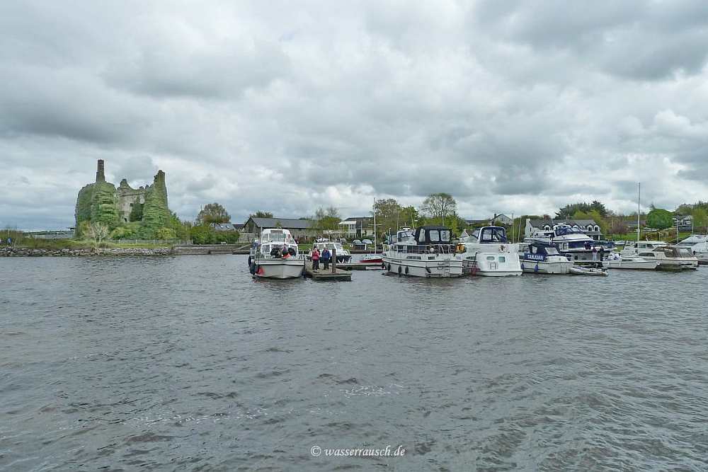
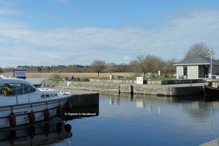
Maddens Marina between Ballymacegan Island and Portumnabridge
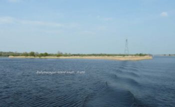
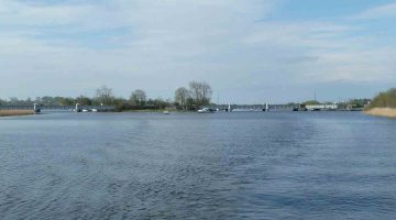
Ballymacegan Island view upstream

Portumna, Ballymacegan Island,
Taucherarbeiten – 26. August bis 03. September 2024
Waterways Ireland möchte die Schiffsführer und Benutzer der Shannon Navigation darauf hinweisen, dass vom 26. August bis zum 3. September 2024 archäologische Taucharbeiten bei Ballymacegan Island und an mehreren Stellen zwischen der Portumna Bridge und Ballymacegan Island stattfinden werden.
Das Hauptarbeitsgebiet wird der Fluss Shannon zwischen Ballymacegan Island Townland. Co. Tipperary und Tiernascragh Townland, Co. Galway.
Weitere Gebiete, in denen getaucht werden soll, sind

    • Gebiet 1: südlich von Hayes‘ Island, im Back Channel;
    • Gebiet 2: nördlich und südlich der Einfahrt zur Madden’s Marina, auf der Tipperary-Seite;
    • Gebiet 3: nördlich von Long Island, zwischen Ballymacegan, Co. Tipperary und Cappagh, Co. Galway.

Alle Kapitäne und Benutzer der Shannon Navigation werden gebeten, die blau-weiße Tauchflagge zu beachten, die den Tauchbetrieb anzeigt, und den Tauchschiffen und dem Tauchgebiet einen großen Bogen zu machen.
Es sollte auch beachtet werden, dass die Kapitäne und Benutzer der Wasserstraße im „Sperrgebiet“ der Underwater Heritage Order bei Ballymacegan Island keinen Anker werfen sollten, da dies eine Gefahr für dieses empfindliche archäologische Gebiet darstellen könnte.
Waterways Ireland dankt seinen Fahrgästen für ihre Kooperation in dieser Angelegenheit.
MARINE NOTICE, No. 89 of 2022

Portumna, Swing Bridge; © esri; click to Arcgis Map " Portumna, Swing Bridge"
Portumna, Connaught Harbour, Bridge; © esri

MARINE NOTICE, No. 89 of 2022

Shannon Navigation

Portumna, Connaught Harbour

Redevelopment works – New marina facility and bridge yard development
Waterways Ireland wishes to advise masters of vessels and users of the Shannon Navigation that significant redevelopment works at Connaught Harbour will commence in the coming weeks.
A new public marina adjacent to Connaught Harbour and redevelopment of the bridge yard site will be undertaken from September to December 2022. Some completion works and pile removals will be undertaken in July 2023.
Connaught harbour and the quay wall at the bridge yard site will be closed for mooring of vessels from Sunday 18th September 2022 until the completion of the works. All vessels moored in these areas should vacate the moorings by Sunday 18th September 2022.
Waterways Ireland thanks its customers for their understanding in relation to this matter.

P Harkin, Cdr (Rtd), Inspector of Navigation, Waterways Ireland, 05 September 2022

Portumna- Connaught Harbour-Lough Derg;   click picture to "enlarge"
Portumna- Connaught Harbour-Lough Derg

Portumna, Connaught Harbour,
Sanierungsarbeiten, Neuer Yachthafen und Ausbau der Brückenwerft

Waterways Ireland möchte die Kapitäne von Schiffen und die Nutzer der Shannon Navigation darauf hinweisen, dass in den kommenden Wochen umfangreiche Sanierungsarbeiten im Connaught Harbour beginnen werden.
Von September bis Dezember 2022 werden ein neuer öffentlicher Jachthafen am Connaught Harbour und die Sanierung des Brückengeländes in Angriff genommen. Einige Fertigstellungsarbeiten und die Beseitigung von Pfählen werden im Juli 2023 durchgeführt.
Der Hafen von Connaught und die Kaimauer auf dem Gelände der Brückenwerft werden ab Sonntag, dem 18. September 2022, bis zum Abschluss der Arbeiten für das Anlegen von Schiffen gesperrt. Alle Schiffe, die in diesen Bereichen festgemacht haben, sollten ihre Liegeplätze bis Sonntag, den 18. September 2022, räumen.
Waterways Ireland dankt seinen Gästen für ihr Verständnis in dieser Angelegenheit.

MARINE NOTICE, No 057 of 2016

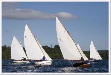
Shannon one Design; click to Website Shannon one Design
Shannon one Design © SOD

MARINE NOTICE, No.57 of 2015

SHANNON NAVIGATION

Athlone to Portumna

SHANNON ONE DESIGN (SOD)

Long Distance Sailing Race

Sat 25th. and Sun 26th. June 2016

Waterways Ireland wishes to advise masters and owners of vessels of the above race. SOD’s will race from Athlone lock to Banagher harbour on Sat the 25th. and from Banagher to Portumna bridge on Sun 26th.
Masters of powerboats are requested to heed their wash when passing vessels under sail and accordingly to observe the navigation rules.
Waterways Ireland thanks its customers for their cooperation in this matter.

Charles Lawn, Inspector of Navigation, 31May 2016.

Mountshannon LDYC Regatta
Dromineer Harbour
Dromineer Harbour

MARINE NOTICE 117 of 2015

Portumna, Castle Harbour; © esri; click to Arcgis Map " Portumna, Castle Harbour"
Portumna, Castle; © esri

MARINE NOTICE, No. 117 of 2015

Shannon Navigation

Portumna, Castle Harbour

Refurbishment Works

Waterways Ireland wishes to advise masters and owners that refurbishment work on Portumna Castle Harbour will commence on Monday 21st September and continue until mid- February 2016. The harbour will be closed to boating traffic for the duration of the works. Masters/owners presently berthed in this harbour are requested to move their vessels to alternative moorings by Fri 18th Sep.

Waterways Ireland thanks its customers for their cooperation in this matter.

C.J.Lawn, Inspector of Navigation, 7 Sep 2015

Portumna Harbour Einfahrt

MARINE NOTICE 020 of 2015

Killaloe-Bridge; © esri; click to esrimap"Killaloe Ballina"
Killaloe-Bridge; © esri

MARINE NOTICE, No 20 of 2015

Shannon Navigation

Killaloe/Ballina to Portumna

Waterways Ireland wishes to advise masters and owners that motor vessel „Dolphin“ will be engaged in survey work on this section of the navigation from Thurs 26 Mar until Fri 12 Jun 2015 during the hours of daylight.
The vessel has a blue hull, white wheel house and an orange roof, its call sign is EI-PV-3.
A listening watch will be kept on Marine VHF Ch 16.
The vessel will be required to keep a set course during its work. Other craft coming upon the vessel are requested therefore to give it a wide berth as necessary.
Waterways Ireland thanks its customers for their cooperation in this matter.

C.J.Lawn, Inspector of Navigation, 24 Mar 2015

Killaloe Brückendurchfahrt 5:30 Uhr © wasserrausch.de; click to "enlarge"
Killaloe Brückendurchfahrt 5:30 Uhr © wasserrausch.de
Killaloe Ballina Town Bridge; © Captain’s Handbook; click to "enlarge"
Killaloe Ballina Town Bridge; © Captain’s Handbook
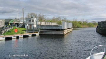
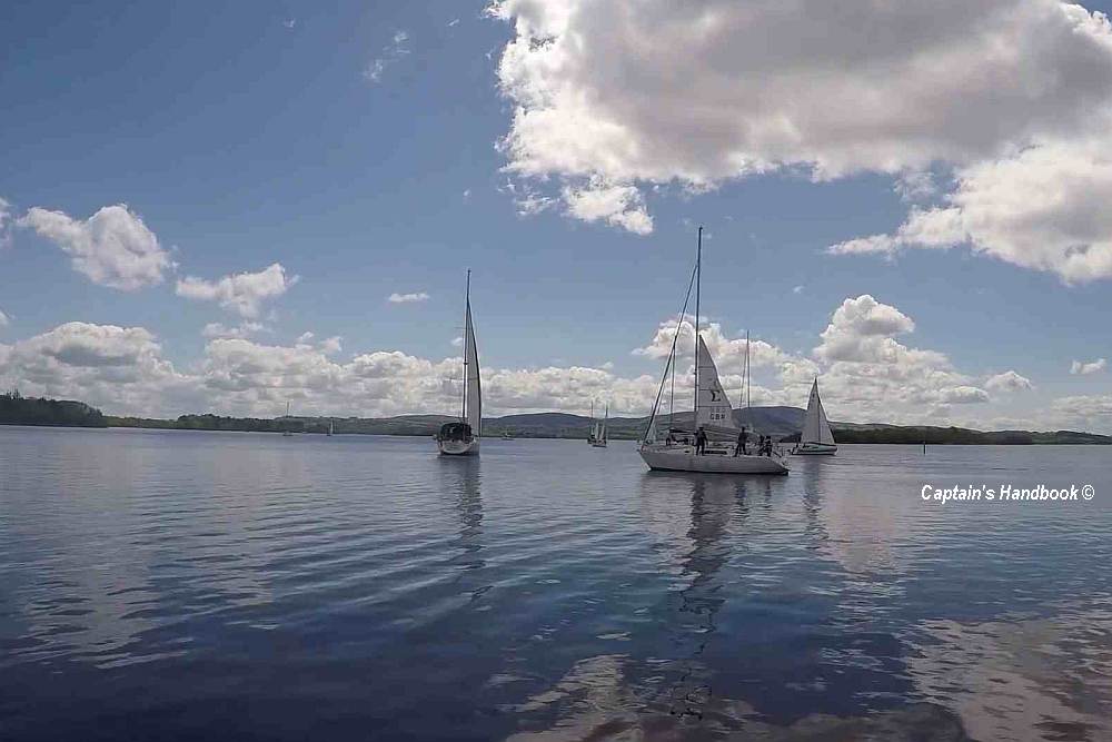
Portumna Bridge; © Captain’s Handbook; click picture to "enlarge"
Portumna Bridge; © Captain’s Handbook