MARINE NOTICE, No 106 of 2016

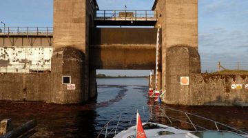
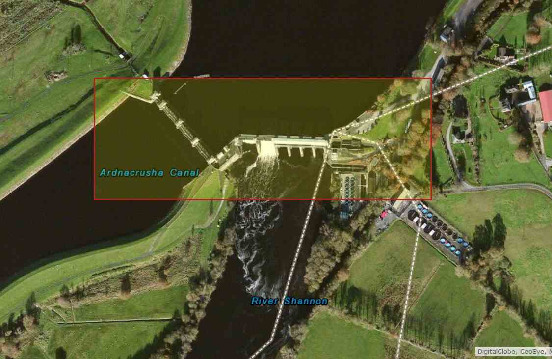
Parteen Weir; © esri, click picture to "Esri-Map Limerick-Parteen-Weir"
Parteen Weir; © esri

MARINE NOTICE, No 106 of 2016

Shannon Navigation

Limerick

Sarsfield Lock and Upstream

Approaches from Abbey River

and Revised Lock Operating Schedule

Marine Notice No 105 refers. Waterways Ireland wishes to advise that following survey of this section of the navigation greater siltation than expected has been noted.

The navigable channel on the approaches to the lock will now be marked with buoys. As this is a narrower channel than previously available masters are requested not to berth at the lead-in jetty and are advised also to make their approach to the lock in single file.

Please note the following revised times for lock operations which are subject to change.

Thursday 11th August 1pm to 4pm
Saturday 13th August 11am to 2pm
Thursday 18th August 9am to 12pm
Saturday 20th August 10am to1pm
Thursday 25th August 9am to12pm
Saturday 27th August 10am to 1pm
Thursday 1st September 9am to12pm
Saturday 3rd September 10am to 1pm
Thursday 8th September 12pm to 3pm
Saturday 10th September 2pm to 5pm

The lock keeper can be contacted at the following number 087-7972998 only during the hours of operation as shown above when he will be in attendance to operate the lock.

Charles Lawn, Inspector of Navigation, 9 Aug 2016
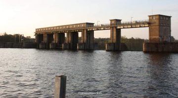
Parteen Weir; © CHB
Parteen Weir; © CHB

Parteen Weir; © CHB
Parteen Weir; © CHB

„Arthur’s“ Summer Coastal Cruising Odyssey 2011

Coastal Cruising

Für den Mietbootfahrer endet irgendwo die Weiterfahrt auf den „Inland-Waterways“ in Ireland durch einen Vermerk auf den Karten der Bootsvermieter “ END of NAVIGATION“. Hat auch seine Berechtigung, denn entweder ist das Boot nicht dafür geeignet und nicht versichert, oder der Kapitän mit seiner Crew wird überfordert mit der Planung, wenn man sich in Tidengewässer begeben will.
Das alles gilt für die einheimischen Bootsbesitzer nicht, ausser der Planung wie seetauglisches Boot (am besten zwei Motoren) Wetterbericht, Kursberechnung, Kenntnis der Tidentabelle und eine seefeste Mannschaft sind hier gefragt.
Dass wir dennoch tolle Bilder von jenseits des Sarsfield Locks bekommen, verdanken wir Mary & Paul, die mit „Arthur“ von Portumna über Limerick, Kilrush, Fenit nach Dingle unterwegs waren. Paul hat die Trip in der Shannonmündung und den weiteren Küstenverlauf in seinem Fotoalbum dokumentiert.

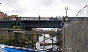
Sarsfield Lock; © Paul Scannel; CCO Part 1
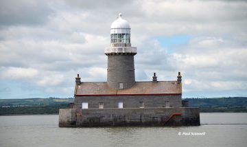
Beeves Rock Lighthouse;© Paul Scannell;
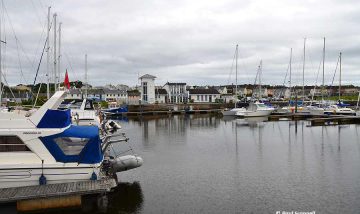
Kilrush Marina; © Paul Scannell;CCO Part 2
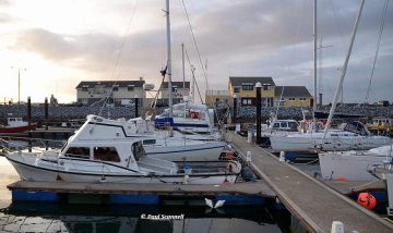
Fenit Marina; © Paul Scannell; CCO Part 3
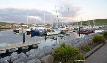
Dingle Marina; © Paul Scannell; CCO Part 3
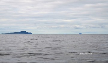
Valentia and Skelling Islands; © Paul Scannell; CCO Part 4
Valentia and Skelling Islands; © PS

Captain’s Handbook“  hat den Kurs anhand der Fotos und der Kommentare für euch in ArcGis Map  nachgestellt. Viel Spaß beim anschauen.

"Arthur's" Summer Coastal Cruising Odyssey 2011; © esri mapping
„Arthur’s“ Summer Coastal Cruising Odyssey 2011; © esri

Dank an Paul, der mir die Bilder zur Verfügung gestellt hat.

Thanks to Paul for the beautiful pictures and detailed comments.