MARINE NOTICE, No. 21 of 2022

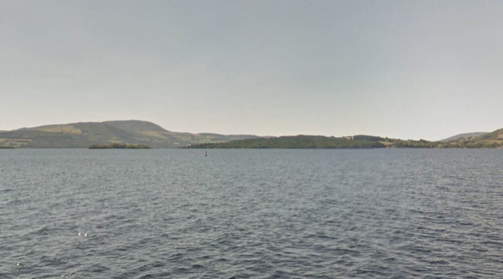
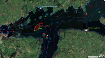
Red navigation marker No 1203 Middle Ground; © esri
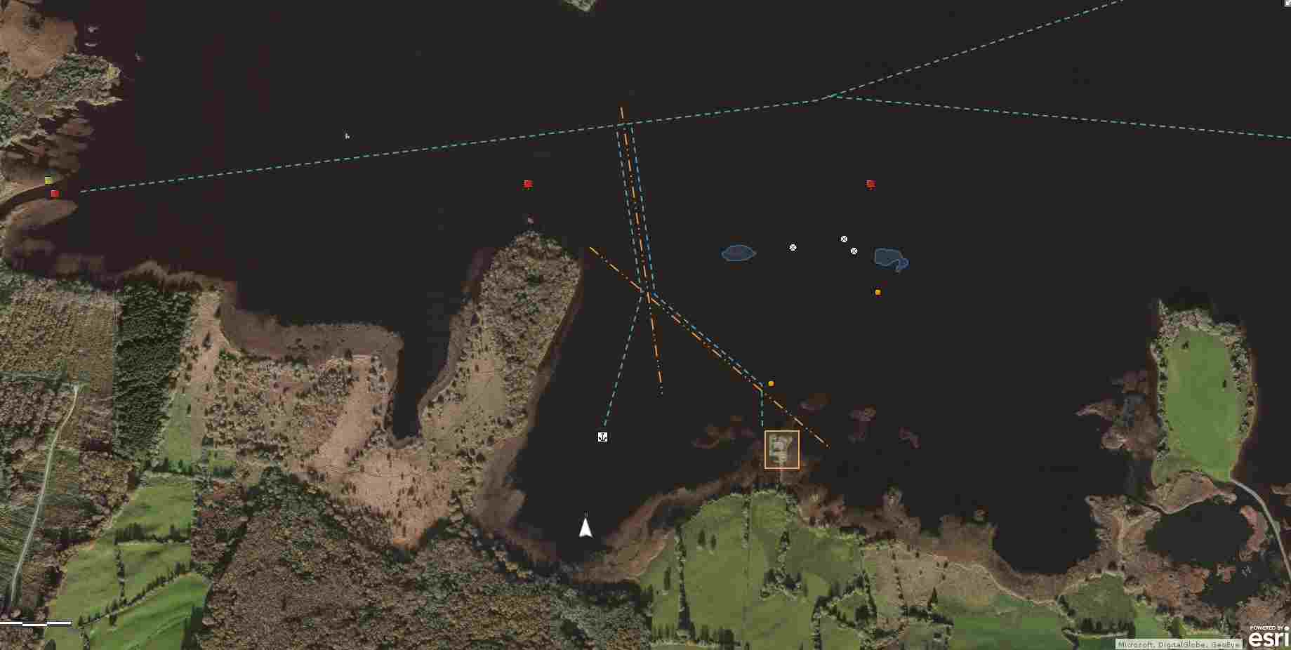
Lough Derg Middle Ground; © esri

MARINE NOTICE, No. 21 of 2022

Shannon Navigation

Lough Derg – Scarriff Bay – Middle Ground

Red navigation marker No 1203 off station

Waterways Ireland wishes to advise all Masters of vessels that Red Navigation marker No 1203 at the North-East side of the Middle Ground, Scarriff Bay, Lough Derg is off station.

Masters of Vessels are urged to proceed with additional caution in the area. The marker will be replaced as soon as possible.

Waterways Ireland thanks vessel owners for their co-operation.

P Harkin, Inspector of Navigation, 16 March 2022

Lough Derg Middle Ground; © esri
Lough Derg Middle Ground Marker RED 1203; © esri

Shannon Navigation, Lough Derg – Scarriff Bay – Middle Ground
Roter Navigation Marker Nr. 1203 außer Betrieb
Waterways Ireland möchte alle Schiffsführer darauf hinweisen, dass das rote Seezeichen Nr. 1203 an der nordöstlichen Seite des Middle Ground, Scarriff Bay, Lough Derg, außer Betrieb ist.
Die Kapitäne von Schiffen werden dringend gebeten, in diesem Gebiet mit erhöhter Vorsicht zu fahren. Die Markierung wird so bald wie möglich ersetzt.
Waterways Ireland dankt den Schiffseignern für ihre Kooperation.
MARINE NOTICE 014 of 2014

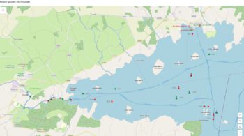
Middle Gound Lough Derg; © esri; click to Arcgis Map "Middle Gound on Lough Derg"
Middle Gound Lough Derg; © esri

MARINE NOTICE, No 14 of 2014

Shannon Navigation
Lough  Derg

Middle Ground Rocks – Scarriff Bay

Red Conical Buoy Replaced

Waterways Ireland wishes to advise owners and masters that Marine Notice No 12 of 2014 is now withdrawn and that the northernmost red conical buoy marking the Middle Ground Rocks in Scarriff Bay has been replaced in position.

Charles Lawn, Inspector of Navigation, 20  Feb 2014

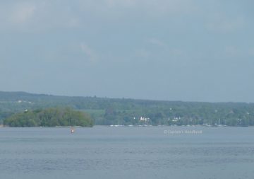
Red Conical Buoy Middle-Ground;  © chb
Red Conical Buoy Middle-Ground; © chb

Anlegen und Ankern bei Castlebawn, Scarrif-Bay

Scarriff-Bay-Castlebawn; klick Foto an!
Route nach Castlebawn; powered by Esri; click to „ArcGis Explorer“

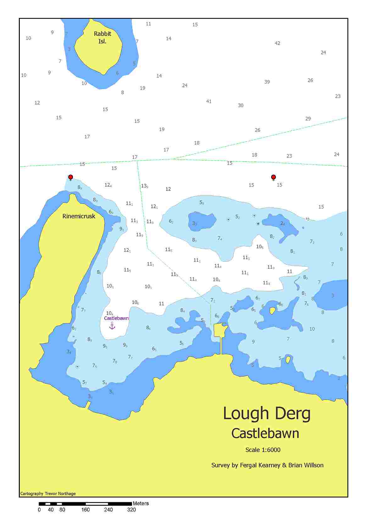
Nach ergiebigen und hinreichenden Tiefenmessungen hat das CSIG  Survey Team der Lough Derg Branch  „Fergal & Brain“, die im Anschluß auf der Karte gezeichnete Route als relativ sicher betrachtet. Diese Karte dient ausschließlich nur zur Information über die Navigation in der Scarriff Bay zu Castlebawn. Die Karte  ist nicht zum Navigieren geeignet. Bei solchen Routen empfiehlt es sich immer den Tiefenmesser und die Karte im Auge behalten.

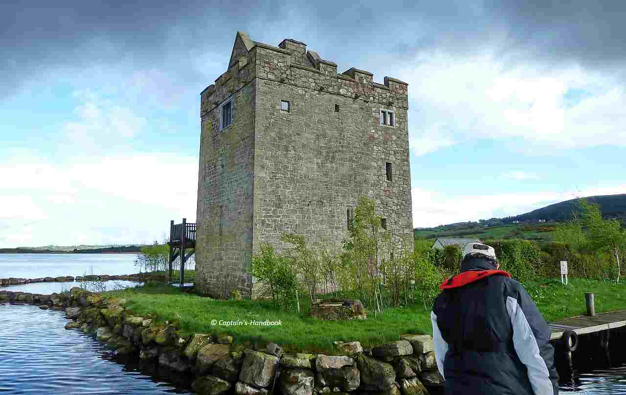
Castlebawn
Scarriff-Bay-Castlebawn; © Courtesy of Brain and Fergal; click to „enlarge“
Castlebawn Anleger
Castlebawn Anleger

Captain's Handbook ©
Datenschutz-Übersicht

Diese Website verwendet Cookies, damit wir dir die bestmögliche Benutzererfahrung bieten können. Cookie-Informationen werden in deinem Browser gespeichert und führen Funktionen aus, wie das Wiedererkennen von dir, wenn du auf unsere Website zurückkehrst, und hilft unserem Team zu verstehen, welche Abschnitte der Website für dich am interessantesten und nützlichsten sind.

Die Datenschutzerklärung finden Sie  hier ====>>

This website uses cookies so that we can provide you with the best possible user experience. Cookie information is stored in your browser and performs functions such as recognizing you when you return to our website, and helps our team understand which sections of the website are most interesting and useful to you.

The privacy policy can be found  here ====>>