MARINE NOTICE, No 121 of 2017
Erne System
Reduced Water Levels
Waterways Ireland would like to remind navigation users of the annual drawdown of water levels onthe
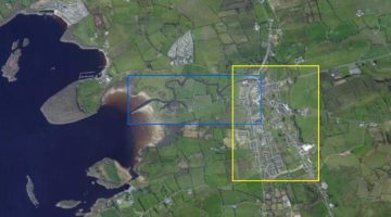
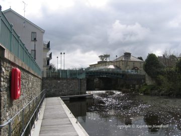
In particular navigation users are asked to be especially aware of the reduced levels on the Kesh River. Before travelling on the Kesh River take heed of the water depth gauges to determine if there is sufficient draft for your vessel.
If water levels do fall masters should be aware of:
Navigation
To reduce the risk of grounding masters should navigate on or near the centreline of the channel, avoid short cutting in dog-legged channels and navigating too close to navigation markers.
Mooring of Vessels
Masters should be aware that water levels may change rapidly and that mooring lines will require adjustment; therefore these should be checked regularly.
Shane Anderson, Assistant Inspector of Navigation, 10 November 2017.
 |
 |
