
MARINE NOTICE, No 108 of 2018
LOWER BANN
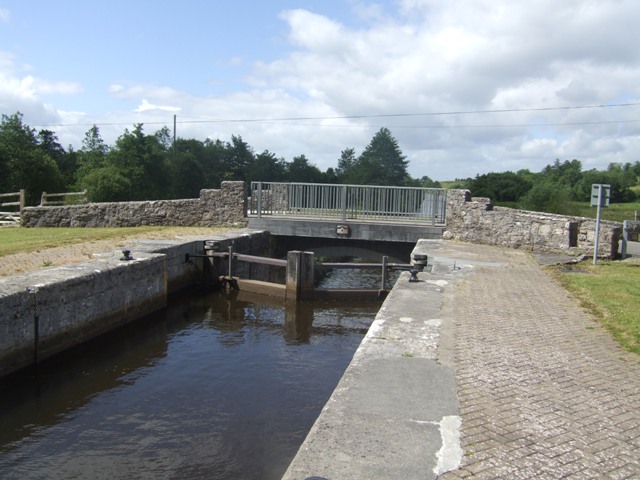
Movanagher Lock
Closure until futher Notice
Waterways Ireland wishes to advise all Masters of vessels that due to emergency maintenance, Movanagher Lock on the Lower Bann is closed until further Notice.
Waterways Ireland will issue an update when the Lock is operational again.
Waterways Ireland regrets any inconvenience caused.
P Harkin, Inspector of Navigation, 03 October 2018

Movanagher Schleuse Schließung bis auf weiteren Hinweis
Waterways Ireland möchte alle Kapitäne von Schiffen darauf hinweisen, dass das Movanagher Lock auf dem Lower Bann aufgrund von Notfall-Wartungen bis auf weiteres geschlossen ist.
Waterways Ireland wird ein Update herausgeben, wenn die Schleuse wieder in Betrieb ist.
Waterways Irland bedauert die Unannehmlichkeiten, die dadurch verursacht werden.


")