MARINE NOTICE, No. 23 of 2019
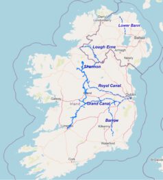
Shannon Navigation,
Erne System,
River Barrow,
River Bann
Precautions during flood conditions
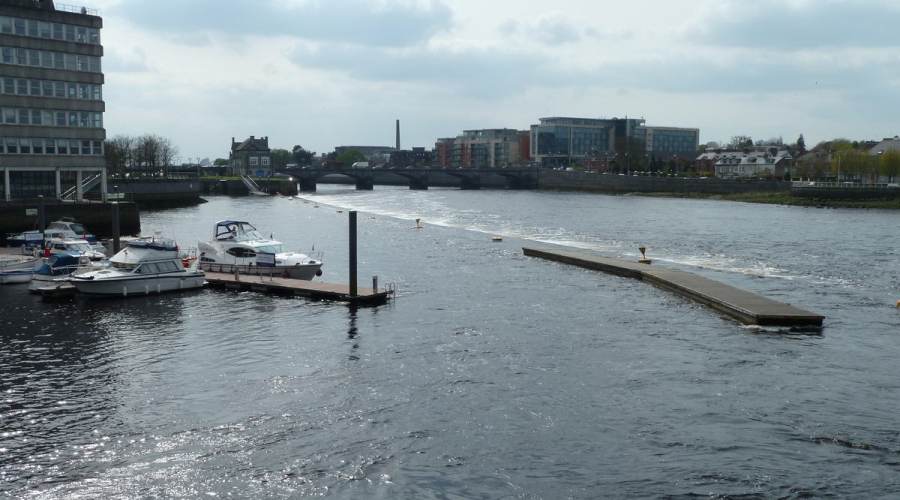
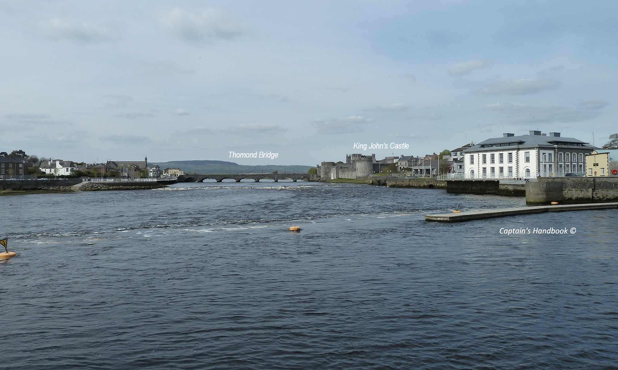
Waterways Ireland wishes to advise all Masters of vessels and water users that the Shannon, Erne, Barrow and Bann rivers are at Winter Flood levels.
Masters of vessels and water users should proceed with additional caution and bear the following in mind when on the water during flood conditions:
-
- Air draft is reduced under all bridges and power lines
- Water velocity is significantly increased
- Access to jetties can be difficult as gangways and pontoons are elevated
- Navigation markers, pontoons, jetties may be submerged
Waterways Ireland thanks all vessel owners and operators for their co-operation in relation to this matter.
P Harkin, Inspector of Navigation, 19 March 2019
Vorsichtsmaßnahmen bei Überschwemmungen
Waterways Ireland möchte alle Kapitäne von Schiffen und Wassernutzer darauf hinweisen, dass sich die Flüsse Shannon, Erne, Barrow und Bann auf dem Niveau der Winterflut befinden.
Schiffsführer und Wasserbenutzer sollten mit zusätzlicher Vorsicht vorgehen und bei Hochwasser auf dem Wasser Folgendes beachten:
-
- Die Air-Draft wird unter allen Brücken und Stromleitungen reduziert.
- Die Wassergeschwindigkeit wird deutlich erhöht.
- Der Zugang zu den Stegen kann schwierig sein, da Laufstege und Pontons erhöht sind.
- Navigationsmarkierungen, Pontons, Stege können unter Wasser stehen.