
MARINE NOTICE, No 113 of 2017
Shannon Navigation
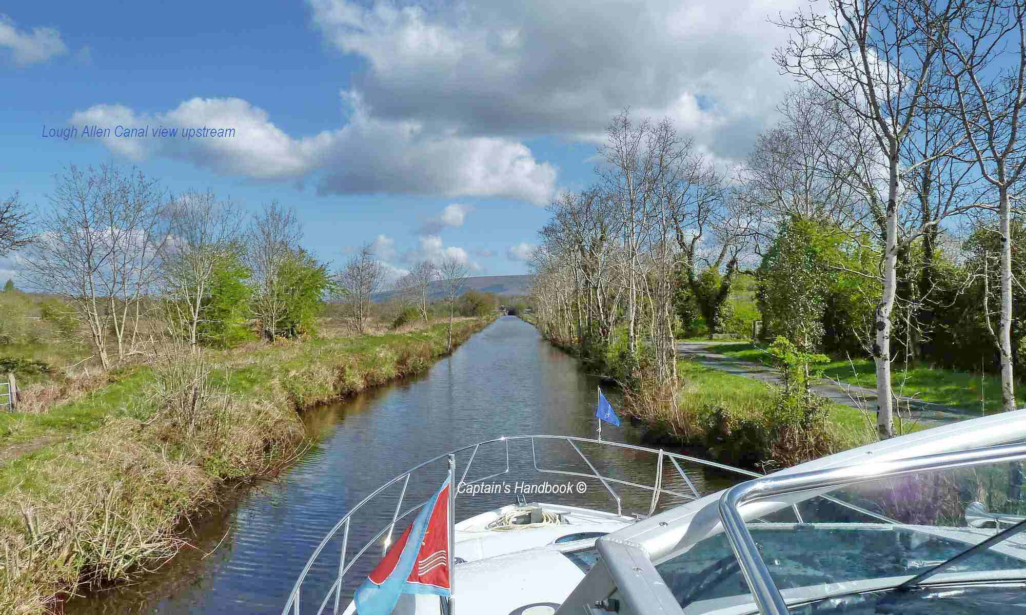
Lough Allen Canal Closed
Waterways Ireland wishes to advise masters and owners of vessels that as a result of Storm Ophelia The Lough Allen Canal, between Drumleague Lock and Acres lake is closed to navigation as a result of a fallen tree.
Waterways Ireland apologises for any inconvenience to customers.
A further notice will issue on removal.
Waterways Ireland thanks its customers for their co-operation.
Shane Anderson, Assistant Inspector of Navigation, 17 October 2017
 |
 |
 |
 |
 |
 |