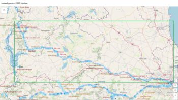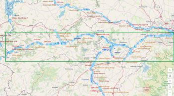

SHANNON NAVIGATION
LOUGH REE, KID’S ISLAND
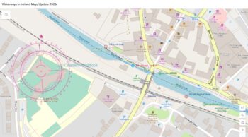
Reinstatement of GREEN CONICAL BUOY
Waterways Ireland wishes to advise masters and owners of vessels that the Green Conical Buoy north of Kid’s Island on Lough Ree has been reinstated. Marine Notice 120 of 2018 is cancelled.
Waterways Ireland thanks its customers for their cooperation in relation to this matter.
P Harkin, Inspector of Navigation, 28 January 2019
Wiederherstellung von GREEN CONICAL BUOY
Waterways Ireland möchte die Kapitäne und Eigner von Schiffen darauf hinweisen, dass die Green Conical Booy nördlich von Kid’s Island auf Lough Ree wieder eingesetzt wurde. Die Marine Notiz 120 von 2018 wird storniert. Für die Position, kleines Foto bitte anklicken.