MARINE NOTICE 070 of 2014

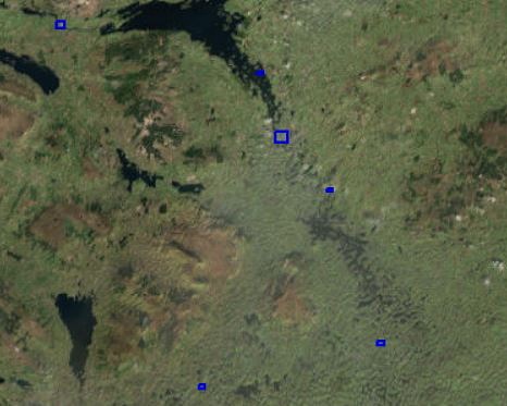
Lough-Key-Navigation; © esri; click to Arcgis Map "Lough-Key-Navigation"
Lough-Key © esri

MARINE NOTICE, No 70 of 2014

SHANNON NAVIGATION

Lough Key

Open Water Swimming Race
Waterways Ireland wishes to advise masters and owners that an open water swimming race will take place in Lough Key on Sat 21st Jun 2014 between 1000hrs and 1200hrs in the area adjacent to the Forest Park complex and including the waters around Castle Island.

Masters are requested to proceed at slow speed and with minimum wash when passing this stretch of the navigation and note any advice given by race stewards and safety boat crew.

Waterways Ireland thanks its customers for their cooperation in this matter.

C.J.Lawn, Inspector of Navigation, 19 Jun 2014

Lough Key Castle Island; © Captain’s Handbook; click picture to "enlarge"
Lough Key Castle Island

MARINE NOTICE 069 of 2014

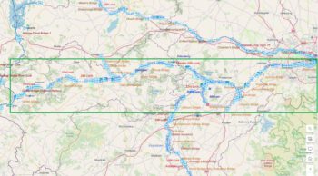
Map Inland Waterways Ireland;© Waterways Ireland
Inland Waterways; © WI

XXX

MARINE NOTICE, No.69 of 2014

All Navigations

Danger to Swimmers

Waterways Ireland wishes to advise masters, owners and all other users of the navigations that it is prohibited to swim in the vicinity of harbours, quays, jetties and within 200m of locks, weirs, bridges and other navigation infrastructure because of the dangers associated with vessels manoeuvring. Also, a fast current is to be expected adjacent to locks, weirs and bridges which will pose a danger to swimmers.

Masters should keep a sharp look-out for swimmers in the water especially on the approaches to harbours and to manoeuvre their vessel accordingly.

Charles Lawn, Inspector of Navigation, 18 Jun 2014

Schwimmen am Jetty im Shannon;  © wasserrausch; click picture to "enlarge"
Schwimmen am Jetty im Shannon

MARINE NOTICE 067 of 2014

Limerick-O'Dwyer's-Bridge; © esri; click to Arcgis Map "Limerick-O'Dwyer's-Bridge"
O’Dwyer’s-Bridge; © esri; Link to Arcgis Map

MARINE NOTICE, No 67 of 2014

SHANNON NAVIGATION

Limerick – Abbey River

Navigation Hazard

Waterways Ireland wishes to advise masters and owners that a large tree trunk has been reported as grounded in the navigation adjacent to  (Athlunkard Bridge on Old Shannon) O‘ Dwyer’s Bridge (Athlunkard Road) in the Abbey River and is a hazard to navigation.

Masters should approach the bridge with due caution.

C.J.Lawn, Inspector of Navigation, 15 Jun 2014

O'Dwyer's-Bridge; © wasserrausch; click to "Webside Wasserrausch: The boat trip in April / May Limerick over Ardnacrusha Power Station"
O’Dwyer’s-Bridge; © wasserrausch

MARINE NOTICE 066 of 2014

Garrykennedy Harbour; © esri; click to Arcgis Map "Garrykennedy Harbour"
Garrykennedy Harbour; © esri

MARINE NOTICE, No 66 of 2014

SHANNON NAVIGATION

Lough Derg – Garrykennedy

Red Porthand Buoy Off Station

Waterways Ireland wishes to advise masters and owners that the red porthand buoy marking the entrance to the marina at Garrykennedy has been reported as being out of position. It can presently be found in a position farther to the east.

Masters should approach the marina entrance with due caution.

C.J.Lawn, Inspector of Navigation, 13 Jun 2014

Garrykennedy-Harbour; © Captain’s Handbook; click to "enlarge"
Garrykennedy-Harbour