MARINE NOTICE 012 of 2014

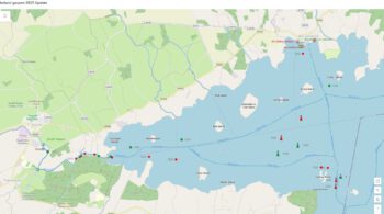
Middle Gound Lough Derg; © esri

MARINE NOTICE, No 12 of 2014

Shannon Navigation
Lough  Derg

Middle Ground Rocks – Scarriff Bay

Red Conical Buoy Adrift

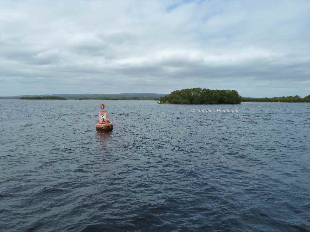
Waterways Ireland wishes to advise owners and masters that a report has been received that the northernmost red conical buoy marking the Middle Ground Rocks in Scarriff Bay is adrift and last sighted in the vicinity of the Red Cage Buoy „B“  at Hare Island.
Masters are advised to keep a sharp lookout and navigate with due caution when in this section of the navigation.

Charles Lawn, Inspector of Navigation, 17  Feb 2014
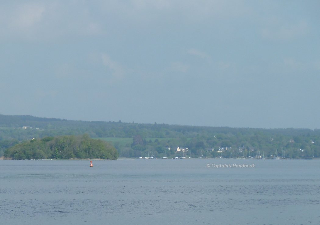
Red Conical Buoy Middle-Groundl; © Captain’s Handbook; click picture to "enlarge"
Red Conical Buoy Middle-Groundl; © CHB
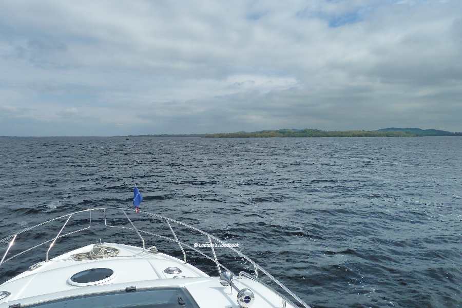
Red Conical Buoy Middle-Groundl; © Captain’s Handbook; click picture to "enlarge"
Red Buoy Middle-Groundl; ©CHB

MARINE NOTICE 008 of 2014

Sallins-Co. Kildare; © esri

MARINE NOTICE, No 8 of 2014

Shannon Navigation
Lough Derg

Red Porthand Buoy Off Station

Marine Notice No 3 of 2014 refers, this Notice is now withdrawn.

Charles Lawn, Inspector of Navigation, Athlone, 4 Feb 2014

MARINE NOTICE 003 of 2014

Marker Areal Benjamin Rock; © esri

MARINE NOTICE, No 3 of 2014

Shannon Navigation
Lough Derg

Red Porthand Buoy Off Station

Waterways Ireland has been advised that a red porthand buoy has been sighted grounded near Tinker Point on the western tip of Illaunmore island. Its previous position has yet to be identified.
Masters are requested to navigate with due caution in this area of Lough Derg until the buoy has been repositioned.

Charles Lawn, Inspector of Navigation, Athlone, 13 Jan 2014

Illnaumore on Derg
Illnaumore on Derg

Irish Waterways Books & Maps 26.11.2011

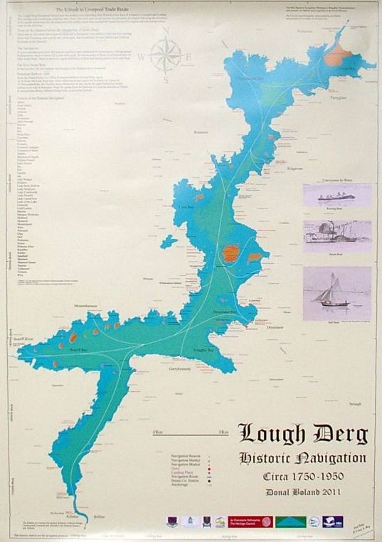
historic_navigation_chart1Die Karte der historischen Navigationsrouten auf Lough Derg von 1750 bis 1950 zeigt die historischen Kais und Marker auf dem Lough und beinhaltet Angaben über die Handelswege von Kilrush nach Liverpool, sowie eine Liste der Shannon Steamboote. Herausgegeben wurde sie von IWAI & HBA Mitglied Donal Boland (Barge James & Mary) im Format 840mm x 595mm (einseitig). Diese Karte ist ausschließlich nur zur Darstellung der frühen irischen Binnenschiffahrt geeignet, nicht für die Navigation.
Die Karte ist seit Montag im IWAI Shop erhältlich.

Marker am Bonaveen Point 19.11.2011

Bonaveen Point; © esri
Bonaveen Point Marker; © Captain’s Handbook


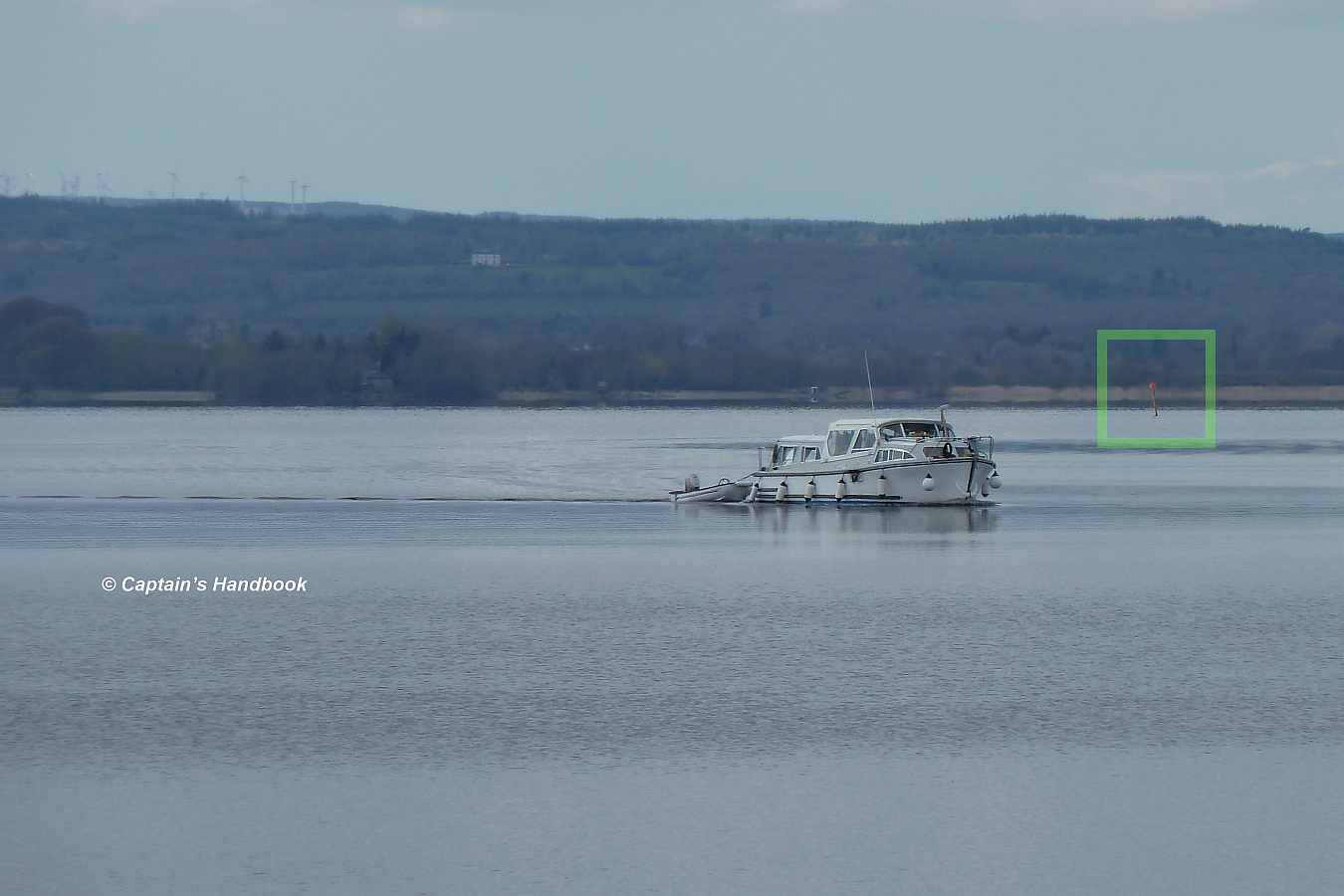
Wie in den „Captain’s Handbooks & Charts“ eingezeichnet steht in der „Gloondavaun Bay“  vor dem Bonaveen Point ein Marker . Hier ist ein Foto aus dem Archiv, aufgenommen im April 2011.

Captain's Handbook ©
Datenschutz-Übersicht

Diese Website verwendet Cookies, damit wir dir die bestmögliche Benutzererfahrung bieten können. Cookie-Informationen werden in deinem Browser gespeichert und führen Funktionen aus, wie das Wiedererkennen von dir, wenn du auf unsere Website zurückkehrst, und hilft unserem Team zu verstehen, welche Abschnitte der Website für dich am interessantesten und nützlichsten sind.

Die Datenschutzerklärung finden Sie  hier ====>>

This website uses cookies so that we can provide you with the best possible user experience. Cookie information is stored in your browser and performs functions such as recognizing you when you return to our website, and helps our team understand which sections of the website are most interesting and useful to you.

The privacy policy can be found  here ====>>