MARINE NOTICE, No 63 of 2014
SHANNON NAVIGATION
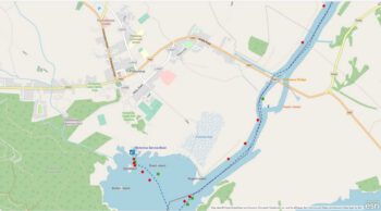
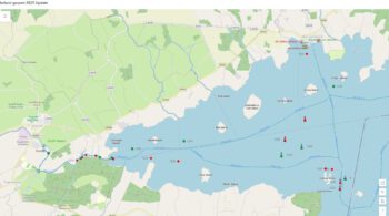
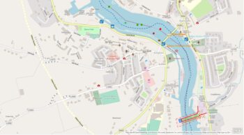
Lough Derg
Killaloe
| Navigation Restriction Triathlon Event Sat 14 Jun 2014 |
Waterways Ireland wishes to advise masters and owners that the swim element of the above event will take place in the Killaloe Canal , from 1500hrs to 1800hrs on Sat 14th. Jun. The canal will be closed during this time.
Waterways Ireland thanks its customers for their co-operation in this matter and regrets any inconvenience that this may cause.
C.J.Lawn, Inspector of Navigation, 11 Jun 2014