MARINE NOTICE, No 021 of 2017

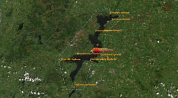
Shannon Erne Waterway; © esri click to SEW-Map esri"
Shannon Erne Waterway; © esri

MARINE NOTICE, No 21 of 2017

Shannon-Erne Waterway

Lock 16 Killarcan – Leitrim Marina

Temporary Delays

Waterways Ireland wishes to advise masters and owners of vessels that they may experience short term delays between Lock 16 Killarcan and Leitrim Marina on the Shannon-Erne Waterway during the following times due the Leitrim Village Blueway Festival:-

Saturday 29th April 12.30pm – 3.00pm
Sunday 30th April 1.30pm – 4.30pm

Waterways Ireland regrets any inconvenience that this may cause and thanks its customers for their cooperation in this matter.

Further information may be had by contacting Waterways Ireland’s Carrick-on-Shannon office at 07196-50562.

C.J.Lawn, Inspector of Navigation, 28 April 2017
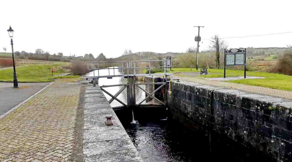
Lock 16 Killarcan – Leitrim Marina
Lock 16 Killarcan to Leitrim Marina

MARINE NOTICE, No 020 of 2017

Lough Derg ; © esri
Lough Derg ; © esri

MARINE NOTICE, No 20 of 2017

Shannon Navigation, Lough Derg.
Mount Shannon, Co. Clare and Portumna, Co. Galway :

Protection of Protected Bird Species

Waterways Ireland has been advised that rare and protected birds are present and breeding on Cribby Island, near Mount Shannon and on Church Island adjacent to Portumna Forest Park.

To protect and minimise disturbance to these nesting birds in the area, masters are requested to observe a voluntary exclusion zone by not encroaching within 250m of the islands and to proceed directly passed and without stopping near the islands, between now and August inclusive. In particular masters are requested not to attempt to approach or disembark onto the islands using smaller punts, canoes or kayaks.

Masters should note that deliberate disturbance to nesting birds and their habitat is illegal under the Wildlife Act (1976-2012).

Waterways Ireland thanks its customers for their co-operation in this matter.

C.J.Lawn, Inspector of Navigation, 27 April, 2017

MARINE NOTICE, No 019 of 2017

Sarsfield's Lock and Arthur's Quay; © esri; click to" esri-map Limerick-Town and Arthur's Quay"
Sarsfield’s Lock and Arthur’s Quay; © esri


MARINE NOTICE, No 19 of 2017

Shannon Navigation

Limerick – Sarsfield’s Lock

Opening Schedule

Waterways Ireland wishes advise masters and owners of vessels of the current schedule. The lock keeper can be contacted at the following number 087-7972998 only during the hours of operation as shown above when he/she will be in attendance.

        Passage
Date HW HW-2 HW+2 From To From To
21/04/2017 15:09 13:09 17:09 13:10 14:10    
28/04/2017 08:31 06:31 10:31     09:30 10:30
05/05/2017 15:53 13:53 17:53 13:50 14:50    
12/05/2017 08:22 06:22 10:22     09:20 10:20
19/05/2017 13:25 11:25 15:25 11:30 12:30    

Masters are advised to contact the ESB Ardnacrusha hydroelectric power station (00353 (0)87 9970131) 48 hours in advance of commencing their journey to book passage through the locks at Ardnacrusha.

It is advised NOT to undertake a voyage if more than one turbine is operating (20MW), due to the increased velocity of flow in the navigation channel, which can be dangerous. To ascertain automatically in real time how many turbines are running, users can phone 00353 (0)87 6477229.

C.J.Lawn, Inspector of Navigation, 20 Apr 2017

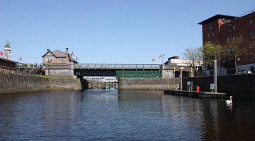
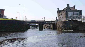
Sarsfields Lock upstream; © Captain’s Handbook
Sarsfields Lock upstream; © CHB

Sarsfields Lock downstream; © Captain’s Handbook
Sarsfields Lock downstream; © CHB

MARINE NOTICE, No 018 of 2017

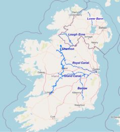
Map Inland Waterways Ireland;© Waterways Ireland; click to "enlarge"
Inland Waterways; © WI

MARINE NOTICE, No 18 of 2017

Shannon Navigation

Winter Mooring Period Ends – Fri 31 Mar

Waterways Ireland wishes to remind masters and owners of vessels that the winter mooring period finished on the Shannon Navigation, which includes the Shannon- Erne Waterway, on Fri 31 Mar and that vessels may only berth for a period of five consecutive days in any one month in a public harbour, until 1 Nov 2017.

C.J.Lawn, Inspector of Navigation, 18 Apr 2017

MARINE NOTICE, No 017 of 2017

Dredging Operations at Kilmore Quay; © esri; click picture to esri map
Dredging at Kilmore Quay; © esri

Erne System

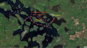
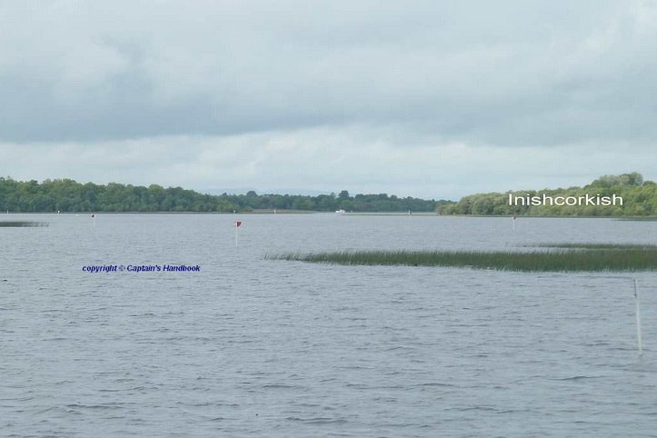
Inishcorkish Island Shoal Area Reported

Waterways Ireland wishes to advise masters and owners of vessels that a shoal area has been reported north of Inishcorkish, signage has been erected and masters are further requested to follow the alternative southern route.

Waterways Ireland thanks its customers for their cooperation in this matter.

C.J.Lawn, Inspector of Navigation, 13 Apr 2017

Inishcorkish Island Shoal Area; click to Inishcorkish Island Shoal Area
Inishcorkish Island Shoal Area
Inishcorkish Island Shoal Area; click to Inishcorkish Island Shoal Area
Inishcorkish Island Shoal Area

Inishcorkish Island Shoal Area berichtet
Waterways Ireland möchte die Kapitäne und Schiffseigner darauf hinweisen, dass nördlich von Inishcorkish ein Untiefengebiet gemeldet wurde, Schilder aufgestellt wurden und die Kapitäne weiterhin aufgefordert werden, der alternativen südlichen Route zu folgen.