
MARINE NOTICE, No. 13 of 2016
Erne Navigation
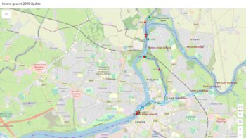
Enniskillen – Portora
Head of River Rowing Race
Sat 5th. Mar 2016
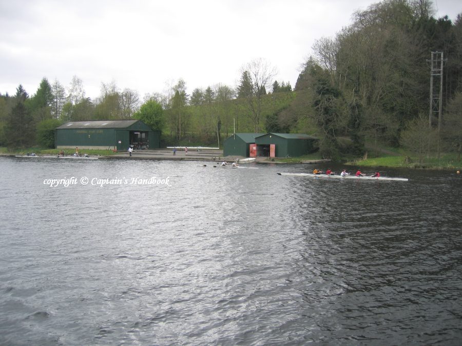
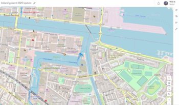
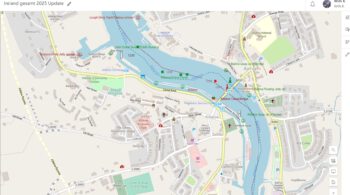
Masters and owners are advised that the Portora Boat Club “Head of River” race will take place on Sat 5th. Mar 2016 from 09.00 hrs until 17.00hrs, the course will stretch from Culkey downstream to finish at the Portora Boat House, Enniskillen.
Masters of vessels are requested to proceed at slow speed and with minimum wash when passing this stretch of the navigation and to heed any advice or instructions issued by the regatta officials.
Waterways Ireland thanks its customers for their cooperation in this matter.
Charles Lawn, Inspector of Navigation, 18 Feb 2016


")