
MARINE NOTICE, No. 54 of 2014
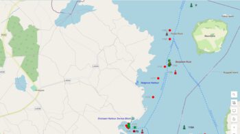
Shannon Navigation
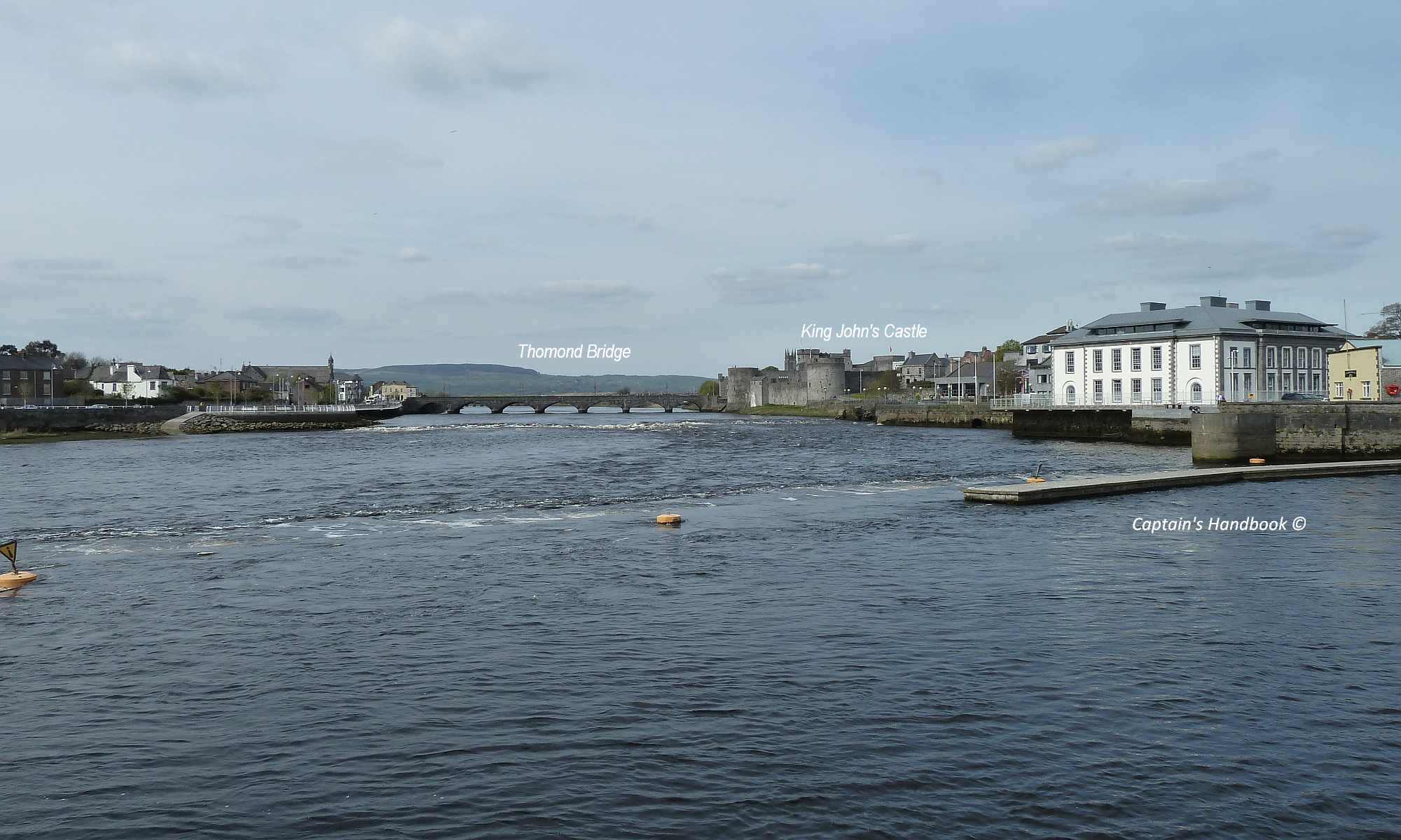
Limerick
Sarsfield’s Lock
Navigation Hazard
Waterways Ireland wishes to advise masters and owners that sheets of corrugated iron roofing material are lying on the bottom of the lay-by quay immediately downstream of Sarsfield’s Lock , Limerick.
Boats and vessels manoeuvring in the quay area especially at or near low water should be mindful of this hazard and proceed at slow speed and with due caution.
Waterways Ireland thanks its customers for their cooperation in this matter.
Charles Lawn, Inspector of Navigation, 30 May 2014