
MARINE NOTICE, No. 92 of 2024
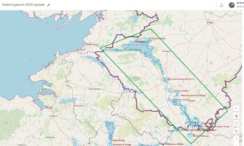
Erne System
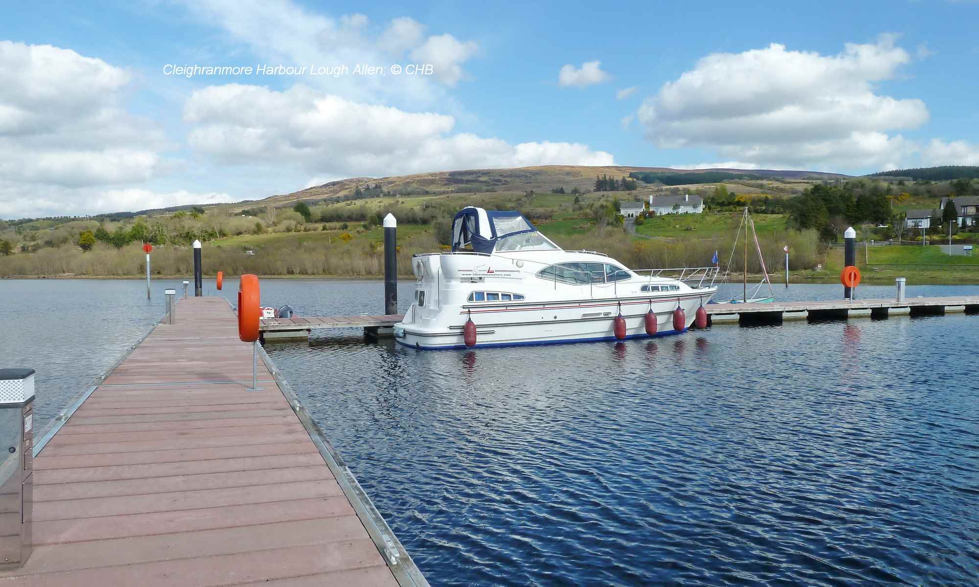
Lower Lough Erne
Advance Notice of Reducing Water Levels
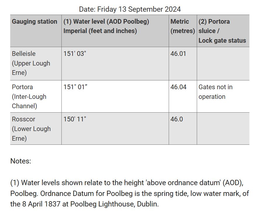
Waterways Ireland anticipate that DfI Rivers will be advising that from 1st October 2024, in keeping with water level management protocols, users of the Erne System can expect reducing water levels throughout the navigation as water levels on Lower Lough Erne are drawn down, weather permitting, to a minimum of 149 feet (above Poolbeg Ordnance Datum), in anticipation of increased precipitation during autumn and winter.
 |
If water levels do fall masters should be aware of the following:
Navigation – To reduce the risk of grounding masters should navigate on or near the centreline of the channel, avoid short cutting in dog-legged channels and navigating too close to navigation markers.
Mooring of Vessels – Masters should be aware that water levels may change rapidly and that mooring lines will require adjustment. Therefore, mooring lines should be checked regularly.
Patrick Harkin, Inspector of Navigation, Waterways Ireland, 12 September 2024
 |
Erne System, Lower Lough Erne
Ab dem 1. Oktober 2024 wird Waterways Ireland die Nutzer des Erne-Systems darüber informieren, dass die Wasserstände im Lower Lough Erne aufgrund der Wetterbedingungen auf ein Minimum von 149 Fuß über dem Poolbeg Ordnance Datum sinken können. Dies geschieht aufgrund erhöhter Niederschläge im Herbst und Winter. Um das Risiko einer Grundberührung zu verringern, wird empfohlen, dass Schiffsführer auf oder in der Nähe der Mittellinie des Fahrwassers navigieren, Abkürzungen in Fahrwassern in hakenförmigen Kanälen vermeiden und nicht zu nahe an Navigationsmarkierungen fahren. Kapitäne sollten auch darauf achten, dass sich der Wasserstand schnell ändern kann und daher die Festmacherleinen regelmäßig überprüft und angepasst werden müssen.