Attention !!! The maps shown on this website are for informational purposes only. They are not suitable for navigation. The map provided by the rental company must be strictly adhered to.
Waterways Ireland wishes to advise masters and owners of vessels that Drumshanbo Lock is closed for essential lock gate repair until Friday 24th October 2014.
Waterways Ireland regrets any inconvenience that this may cause and thanks its customers for their cooperation in this matter.
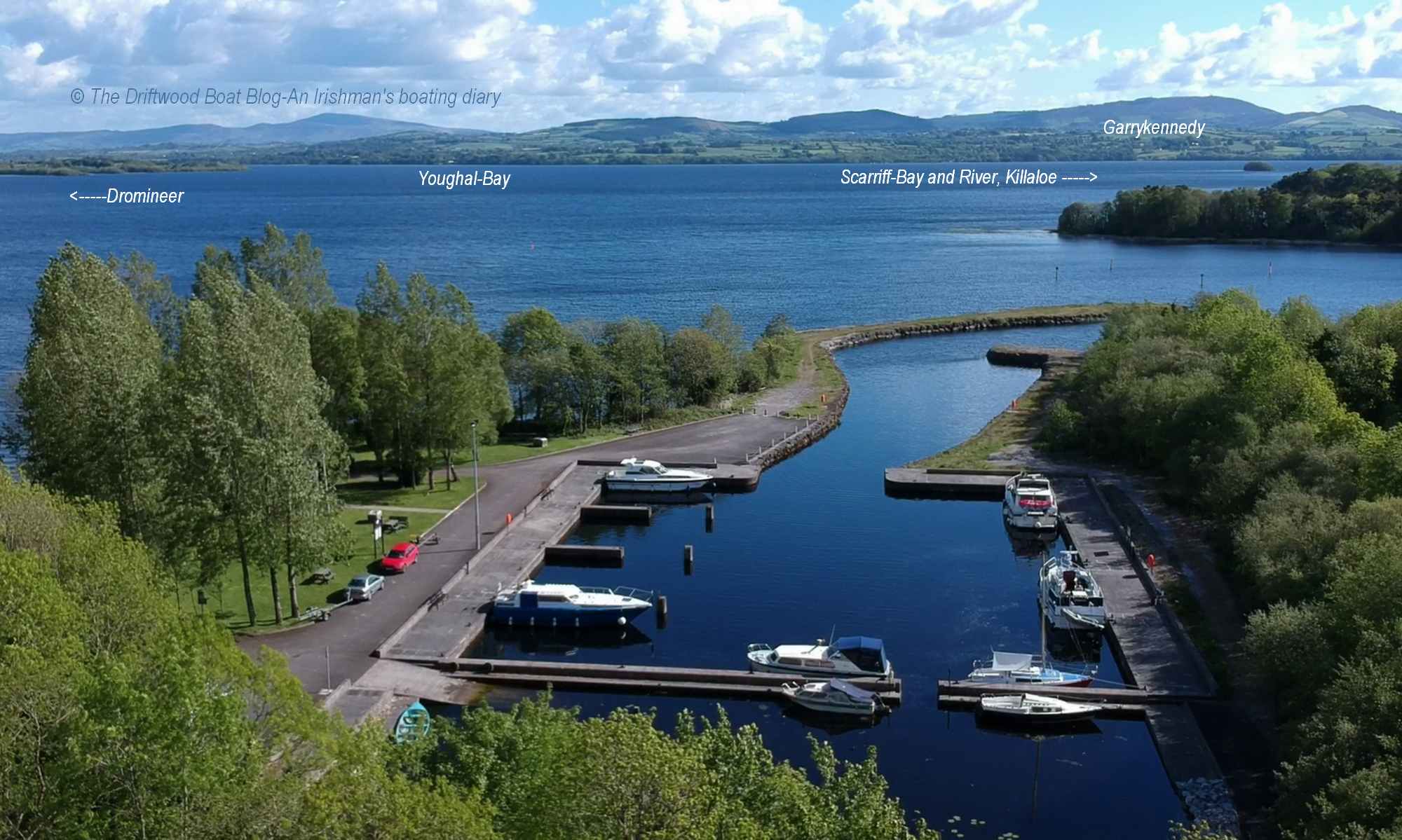
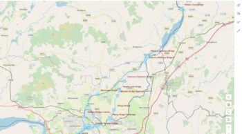
Shannon Navigation
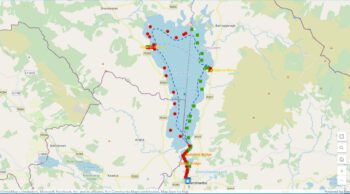
Lough Ree Area Airborne Geophysical Survey
Waterways Ireland has been advised of the following:
The Geological Survey of Ireland is conducting an airborne geophysical survey – the Tellus North Midlands project. Please find attached a map indicating the scheduled flying zones for the week ahead.This map is for indicative purposes only. Flight plans are subject to change at short notice.
See www.tellus.ie for up-to-date flight lines on an interactive map with aerial imagery and map details, or freephone 1800 303 516.
Please get in touch if you require more detail on when and where the survey aircraft will operate in your area.
The aircraft will fly at an altitude of 90m in rural areas with an instrument towed beneath the aircraft at an altitude of approximately 45m.
The aircraft are C208B Cessna Grand Caravan planes with registrations ZS-FSA and ZS-SSA.
The extended period of dry weather has meant that water levels in the navigations are presently lower than normal for this time of year.
Masters and users are advised of the following:
Navigation
Where water levels fall below normal summer levels masters should be aware that their vessels may be at risk of grounding, particularly deep drafted vessels.
To reduce this risk masters should navigate where possible on or near the centreline of the channel and also avoid short cutting in dog-legged channels and navigating too close to navigation markers.
Proceeding at a slow speed will also reduce “squat” effect i.e. where the vessel tends to sit lower in the water as a consequence of higher speed. Slipways
Low water levels will also impact on slipways with reduced slipway length available under the water surface and the possibility of launching trailers dropping off the end of the concrete apron onto the river /lake bed and causing damage to trailer, outboard motor or boat. More slipway surface will also be susceptible to weed growth requiring care while engaged in launching boats. Bank Erosion
Very dry riverbanks are more susceptible to erosion from vessel wash. Please ensure you adhere to the speed limits and maintain a reduced wash. Lock Share.
Where appropriate by maximising on the number of vessels in a lock the total volume of water moving downstream is decreased. This also reduces the volume of water used. Please be patient and wait for other boaters to share the lock with you rather than using locks for single passages. Efficient Lock Use.
Make sure lock cycles are used for vessels travelling each way. Each lock cycle should take boats both up and down stream. Shut all sluice gates and paddles when leaving a lock. Service Blocks
You are requested not to leave taps running at watering points or service blocks in the interest of water conservation.
Charles Lawn, Inspector of Navigation, 18 July 2014
Waterways Ireland has been advised by the ESB of the following:
„ESB Ardnacrusha are carrying out investigation works on the Ardnacrusha Headrace Bridges – O’Brien’s Bridge, Clonlara Bridge and Blackwater bridge and the tailrace bridge at Parteen over the next three weeks. There will be a pontoon at each bridge to provide access. Masters are requested to be vigilant on approach to the bridges and proceed at an appropriate speed with minimum wash“
Charles Lawn, Inspector of Navigation, Athlone, 7 Oct 2014
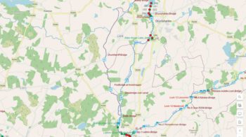
Waterways Ireland wishes to advise masters and owners that the above event will take place on Sat 11th Oct 2014 from Acres Lake at 12 noon.
A large fleet of canoeists will assemble at Drumshanbo Lock at 1130hrs and proceed to Acres Lake for 1200hrs for the formal launch of the Waterways Ireland Blueway Canoe Trail. Thereafter the fleet will proceed downstream towards Leitrim Village to arrive by 1500hrs.
Masters should proceed at slow speed when approaching this stretch of waterway during the event and note any directions issued by the organisers and safety marshals controlling the event. Masters are reminded to keep their wash low to avoid upsetting canoes and other low freeboard craft associated with the event.
Waterways Ireland thanks its customers for their co-operation.
Charles Lawn, Inspector of Navigation,
The Docks, Athlone, Co.Westmeath, 30 Sep 2014